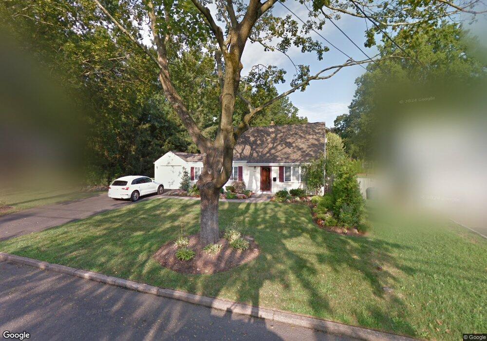
465 Lincoln Dr Paramus, NJ 07652
Estimated Value: $721,000 - $921,000
3
Beds
1
Bath
1,224
Sq Ft
$665/Sq Ft
Est. Value
About This Home
This home is located at 465 Lincoln Dr, Paramus, NJ 07652 and is currently estimated at $814,351, approximately $665 per square foot. 465 Lincoln Dr is a home located in Bergen County with nearby schools including Paramus High School, David Gregory School, and Bergen Catholic High School.
Ownership History
Date
Name
Owned For
Owner Type
Purchase Details
Closed on
Mar 20, 2009
Sold by
Hale Carol A
Bought by
Conte Jennifer M
Current Estimated Value
Home Financials for this Owner
Home Financials are based on the most recent Mortgage that was taken out on this home.
Original Mortgage
$324,000
Outstanding Balance
$206,129
Interest Rate
5.14%
Mortgage Type
Purchase Money Mortgage
Estimated Equity
$608,222
Create a Home Valuation Report for This Property
The Home Valuation Report is an in-depth analysis detailing your home's value as well as a comparison with similar homes in the area
Home Values in the Area
Average Home Value in this Area
Purchase History
| Date | Buyer | Sale Price | Title Company |
|---|---|---|---|
| Conte Jennifer M | $360,000 | -- |
Source: Public Records
Mortgage History
| Date | Status | Borrower | Loan Amount |
|---|---|---|---|
| Open | Conte Jennifer M | $324,000 |
Source: Public Records
Tax History Compared to Growth
Tax History
| Year | Tax Paid | Tax Assessment Tax Assessment Total Assessment is a certain percentage of the fair market value that is determined by local assessors to be the total taxable value of land and additions on the property. | Land | Improvement |
|---|---|---|---|---|
| 2025 | $8,245 | $585,200 | $431,400 | $153,800 |
| 2024 | $8,011 | $544,600 | $398,900 | $145,700 |
| 2023 | $7,574 | $522,200 | $381,400 | $140,800 |
| 2022 | $7,574 | $488,000 | $355,100 | $132,900 |
| 2021 | $7,321 | $442,600 | $320,100 | $122,500 |
| 2020 | $6,957 | $436,200 | $315,100 | $121,100 |
| 2019 | $7,031 | $378,800 | $291,500 | $87,300 |
| 2018 | $6,943 | $378,800 | $291,500 | $87,300 |
| 2017 | $6,822 | $378,800 | $291,500 | $87,300 |
| 2016 | $6,637 | $378,800 | $291,500 | $87,300 |
| 2015 | $6,568 | $378,800 | $291,500 | $87,300 |
| 2014 | $6,512 | $378,800 | $291,500 | $87,300 |
Source: Public Records
Map
Nearby Homes
- 216 E Midland Ave
- 391 Harrison St
- 517 Marion Ln
- 517 Fordham Place
- 415 Bailey Rd
- 557 Forest Ave
- 817 Riverdell Rd
- 362 Harrison St
- 327 E Midland Ave
- 390 Spring Valley Rd
- 552 Burlington St
- 160 Jerome Ave
- 366 Spring Valley Rd
- 224 Concord Dr
- 812 Ridgewood Ave
- 308 Haywood Dr
- 729 Schaefer Ave
- 89 Circle Dr
- 331 Ellen Place
- 374 E Midland Ave
- 469 Lincoln Dr
- 233 Monroe Ave
- 228 Monroe Ave
- 235 Monroe Ave
- 473 Lincoln Dr
- 468 Lincoln Dr
- 470 Lincoln Dr
- 232 Monroe Ave
- 474 Lincoln Dr
- 464 Lincoln Dr
- 268 Mckinley Blvd
- 457 Lincoln Dr
- 234 Monroe Ave
- 239 Monroe Ave
- 462 Lincoln Dr
- 258 Mckinley Blvd
- 455 Lincoln Dr
- 238 Monroe Ave
- 270 Mckinley Blvd
- 458 Lincoln Dr