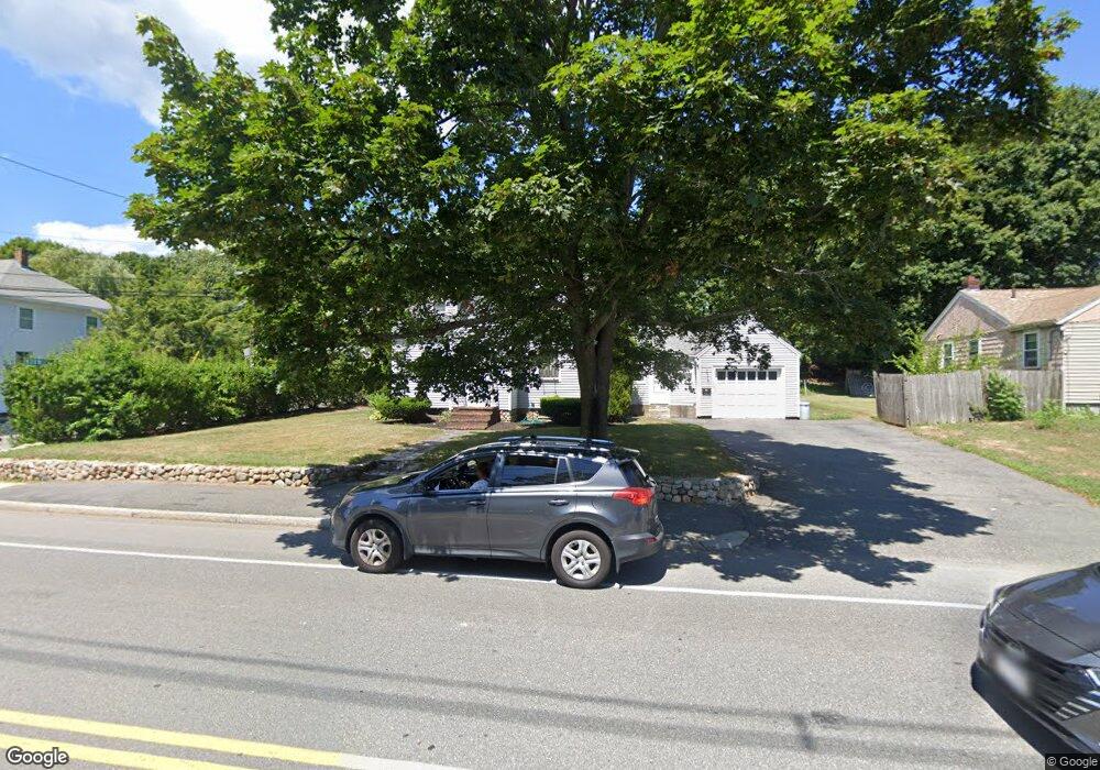
465 Lowell St Peabody, MA 01960
Estimated Value: $687,877 - $794,000
3
Beds
2
Baths
1,608
Sq Ft
$462/Sq Ft
Est. Value
About This Home
This home is located at 465 Lowell St, Peabody, MA 01960 and is currently estimated at $742,219, approximately $461 per square foot. 465 Lowell St is a home located in Essex County with nearby schools including Peabody Veterans Memorial High School and Covenant Christian Academy.
Ownership History
Date
Name
Owned For
Owner Type
Purchase Details
Closed on
Feb 2, 2022
Sold by
Brown Norman E
Bought by
Brown Ft
Current Estimated Value
Purchase Details
Closed on
Jun 30, 2003
Sold by
Brown Norman E and Brown Virginia E
Bought by
Brown Norman E
Home Financials for this Owner
Home Financials are based on the most recent Mortgage that was taken out on this home.
Original Mortgage
$75,000
Interest Rate
5.53%
Mortgage Type
Purchase Money Mortgage
Purchase Details
Closed on
Sep 24, 1986
Bought by
Brown Norman E
Create a Home Valuation Report for This Property
The Home Valuation Report is an in-depth analysis detailing your home's value as well as a comparison with similar homes in the area
Home Values in the Area
Average Home Value in this Area
Purchase History
| Date | Buyer | Sale Price | Title Company |
|---|---|---|---|
| Brown Ft | -- | None Available | |
| Brown Norman E | -- | -- | |
| Brown Norman E | -- | -- |
Source: Public Records
Mortgage History
| Date | Status | Borrower | Loan Amount |
|---|---|---|---|
| Previous Owner | Brown Norman E | $140,000 | |
| Previous Owner | Brown Norman E | $115,000 | |
| Previous Owner | Brown Norman E | $75,000 |
Source: Public Records
Tax History Compared to Growth
Tax History
| Year | Tax Paid | Tax Assessment Tax Assessment Total Assessment is a certain percentage of the fair market value that is determined by local assessors to be the total taxable value of land and additions on the property. | Land | Improvement |
|---|---|---|---|---|
| 2025 | $5,353 | $578,100 | $268,700 | $309,400 |
| 2024 | $4,806 | $527,000 | $268,700 | $258,300 |
| 2023 | $4,429 | $465,200 | $223,900 | $241,300 |
| 2022 | $3,900 | $386,100 | $194,700 | $191,400 |
| 2021 | $3,881 | $370,000 | $177,000 | $193,000 |
| 2020 | $4,018 | $374,100 | $177,000 | $197,100 |
| 2019 | $3,550 | $322,400 | $177,000 | $145,400 |
| 2018 | $3,601 | $314,200 | $158,100 | $156,100 |
| 2017 | $3,383 | $287,700 | $158,100 | $129,600 |
| 2016 | $3,350 | $281,000 | $158,100 | $122,900 |
| 2015 | $3,338 | $271,400 | $158,100 | $113,300 |
Source: Public Records
Map
Nearby Homes
- 14 Raylen Ave
- 4 Price Rd
- 12 Ledgewood Way Unit 26
- 8 Ledgewood Way Unit 20
- 8 Ledgewood Way Unit 17
- 58 Trask Rd
- 7 Ledgewood Way Unit 11
- 14 Bourbon St Unit 25
- 165 Newbury St Unit 4
- 17 Trask Rd
- 251 Newbury St Unit 7
- 1 Reed Rd
- 2 & 2R Prospect St
- 2 Crestwood Ln
- 252 Newbury St Unit 71
- 252 Newbury St Unit 1
- 351 Lowell St
- 21 Hawthorne Cir
- 1 Danforth St
- 278 Newbury St Unit 10
- 463 Lowell St
- 463 Lowell St Unit 1
- 467 Lowell St
- 2 Norwich Rd
- 461 Lowell St
- 468 Lowell St
- 469 Lowell St
- 459 Lowell St
- 26 Princeton St
- 462 Lowell St
- 24 Princeton St
- 1 Norwich Rd
- 474 Lowell St
- 474 Lowell St Unit 6B
- 474 Lowell St Unit 10
- 457 Lowell St
- 471 Lowell St
- 460 Lowell St
- 22 Princeton St
- 25 Princeton St