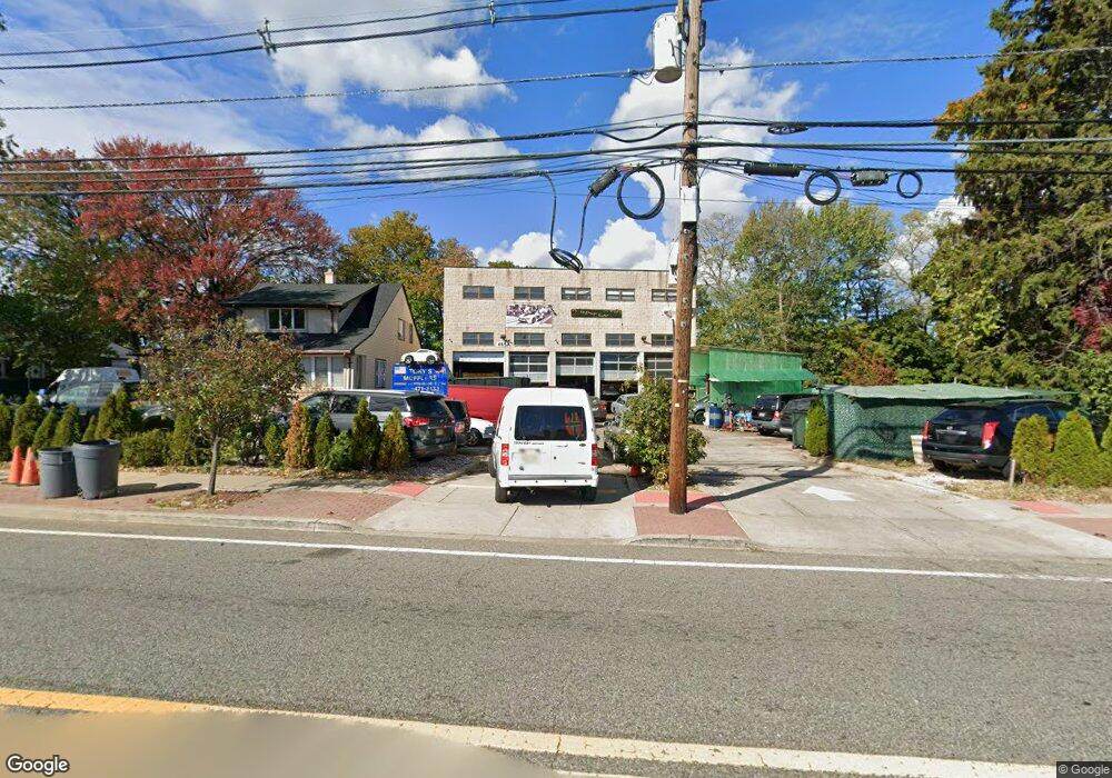
465 Main Ave Wallington, NJ 07057
Estimated Value: $832,428
4
Beds
2
Baths
2,730
Sq Ft
$305/Sq Ft
Est. Value
About This Home
This home is located at 465 Main Ave, Wallington, NJ 07057 and is currently estimated at $832,428, approximately $304 per square foot. 465 Main Ave is a home located in Bergen County with nearby schools including Wallington Jr Sr High School.
Ownership History
Date
Name
Owned For
Owner Type
Purchase Details
Closed on
May 1, 2003
Sold by
Imbruglia Ross
Bought by
Wojdylak Antoni and Wojdylak Barbara
Current Estimated Value
Home Financials for this Owner
Home Financials are based on the most recent Mortgage that was taken out on this home.
Original Mortgage
$300,000
Interest Rate
5.45%
Mortgage Type
Commercial
Purchase Details
Closed on
Oct 6, 1998
Sold by
Trembley Linda
Bought by
Imbruglia Ross and Imbruglia Carol
Home Financials for this Owner
Home Financials are based on the most recent Mortgage that was taken out on this home.
Original Mortgage
$325,000
Interest Rate
7.75%
Mortgage Type
Commercial
Create a Home Valuation Report for This Property
The Home Valuation Report is an in-depth analysis detailing your home's value as well as a comparison with similar homes in the area
Home Values in the Area
Average Home Value in this Area
Purchase History
| Date | Buyer | Sale Price | Title Company |
|---|---|---|---|
| Wojdylak Antoni | $400,000 | -- | |
| Imbruglia Ross | $315,000 | -- |
Source: Public Records
Mortgage History
| Date | Status | Borrower | Loan Amount |
|---|---|---|---|
| Previous Owner | Wojdylak Antoni | $300,000 | |
| Previous Owner | Imbruglia Ross | $325,000 |
Source: Public Records
Tax History Compared to Growth
Tax History
| Year | Tax Paid | Tax Assessment Tax Assessment Total Assessment is a certain percentage of the fair market value that is determined by local assessors to be the total taxable value of land and additions on the property. | Land | Improvement |
|---|---|---|---|---|
| 2025 | $23,953 | $1,143,100 | $502,000 | $641,100 |
| 2024 | $23,045 | $704,300 | $346,300 | $358,000 |
| 2023 | $22,566 | $704,300 | $346,300 | $358,000 |
| 2022 | $22,566 | $704,300 | $346,300 | $358,000 |
| 2021 | $22,178 | $704,300 | $346,300 | $358,000 |
| 2020 | $21,728 | $704,300 | $346,300 | $358,000 |
| 2019 | $21,037 | $704,300 | $346,300 | $358,000 |
| 2018 | $20,791 | $704,300 | $346,300 | $358,000 |
| 2017 | $20,530 | $704,300 | $346,300 | $358,000 |
| 2016 | $17,868 | $625,200 | $346,300 | $278,900 |
| 2015 | $17,105 | $625,200 | $346,300 | $278,900 |
| 2014 | $16,230 | $625,200 | $346,300 | $278,900 |
Source: Public Records
Map
Nearby Homes
- 69 Kossuth St
- 4 Crescent Rd
- 75 Midland Ave
- 3 Ross Rd
- 102 10th St Unit 3
- 102 10th St
- 55 Hobart Place
- 152 Helm Ave
- 70 Bogart Ave
- 39 Arnold Dr
- 120 Wesmont Dr
- 102 Wesmont Dr
- 16 Arnold Dr Unit 5308
- 68 Wesmont Dr
- 60 Passaic St
- 56 Passaic St
- 109 Wesmont Dr Unit 1913
- 55 Passaic St
- 289 Bradley Dr
- 73 Wesmont Dr Unit 1811