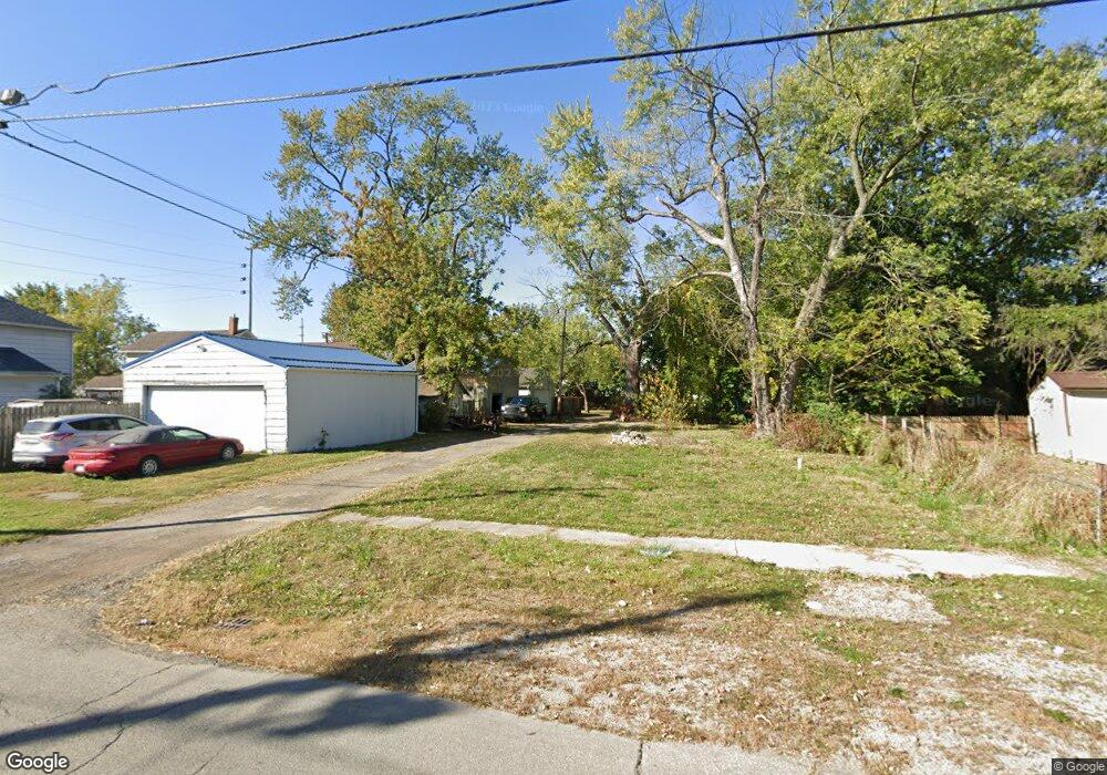
465 Mound St Marion, OH 43302
Estimated Value: $60,000 - $111,000
2
Beds
1
Bath
855
Sq Ft
$100/Sq Ft
Est. Value
About This Home
This home is located at 465 Mound St, Marion, OH 43302 and is currently estimated at $85,500, approximately $100 per square foot. 465 Mound St is a home located in Marion County with nearby schools including William McKinley Elementary School, Ulysses S. Grant Middle School, and Harding High School.
Ownership History
Date
Name
Owned For
Owner Type
Purchase Details
Closed on
May 9, 2024
Sold by
Eldridge Marino
Bought by
Tate Lewis
Current Estimated Value
Purchase Details
Closed on
Mar 1, 2024
Sold by
Field Preston W
Bought by
Eldridge Mariano
Purchase Details
Closed on
Aug 18, 2016
Bought by
Preston W Field
Home Financials for this Owner
Home Financials are based on the most recent Mortgage that was taken out on this home.
Interest Rate
3.43%
Purchase Details
Closed on
Aug 16, 2016
Sold by
Stapleton Dale and Stapleton Teresa
Bought by
Field Preston W
Home Financials for this Owner
Home Financials are based on the most recent Mortgage that was taken out on this home.
Interest Rate
3.43%
Create a Home Valuation Report for This Property
The Home Valuation Report is an in-depth analysis detailing your home's value as well as a comparison with similar homes in the area
Home Values in the Area
Average Home Value in this Area
Purchase History
| Date | Buyer | Sale Price | Title Company |
|---|---|---|---|
| Tate Lewis | $1,000 | None Listed On Document | |
| Tate Lewis | $1,000 | None Listed On Document | |
| Eldridge Mariano | $1,000 | None Listed On Document | |
| Eldridge Mariano | $1,000 | None Listed On Document | |
| Preston W Field | $24,000 | -- | |
| Field Preston W | $288,000 | Ct |
Source: Public Records
Mortgage History
| Date | Status | Borrower | Loan Amount |
|---|---|---|---|
| Previous Owner | Preston W Field | -- | |
| Previous Owner | Field Preston W | $425,500 |
Source: Public Records
Tax History Compared to Growth
Tax History
| Year | Tax Paid | Tax Assessment Tax Assessment Total Assessment is a certain percentage of the fair market value that is determined by local assessors to be the total taxable value of land and additions on the property. | Land | Improvement |
|---|---|---|---|---|
| 2024 | $62 | $1,070 | $1,070 | $0 |
| 2023 | $62 | $1,070 | $1,070 | $0 |
| 2022 | $711 | $11,030 | $1,070 | $9,960 |
| 2021 | $1,048 | $9,900 | $930 | $8,970 |
| 2020 | $877 | $9,900 | $930 | $8,970 |
| 2019 | $724 | $9,900 | $930 | $8,970 |
| 2018 | $710 | $9,940 | $910 | $9,030 |
| 2017 | $772 | $9,940 | $910 | $9,030 |
| 2016 | $397 | $9,940 | $910 | $9,030 |
| 2015 | $409 | $10,010 | $870 | $9,140 |
| 2014 | $410 | $10,010 | $870 | $9,140 |
| 2012 | $436 | $10,590 | $990 | $9,600 |
Source: Public Records
Map
Nearby Homes
- 512 Henry St
- 645 Henry St
- 681 Davids St
- 668 Uncapher Ave
- 568 Bellefontaine Ave
- 545 Blaine Ave
- 716 Uncapher Ave
- 429 W Columbia St
- 426 Bellefontaine Ave
- 4 Poppy Place
- 302 Blaine Ave
- 824 Oak Grove Ave
- 593 Windsor St
- 720 Woodrow Ave
- 407 Latourette St
- 785 Nelson St
- 715 Woodrow Ave
- 374 Nunin Ct
- 796 Woodrow Ave
- 546 Cherry St