465 Old Albany Rd Moultrie, GA 31768
Estimated Value: $102,000 - $167,000
--
Bed
2
Baths
1,716
Sq Ft
$81/Sq Ft
Est. Value
About This Home
This home is located at 465 Old Albany Rd, Moultrie, GA 31768 and is currently estimated at $139,688, approximately $81 per square foot. 465 Old Albany Rd is a home located in Colquitt County with nearby schools including Doerun Elementary School, C.A. Gray Junior High School, and Willie J. Williams Middle School.
Ownership History
Date
Name
Owned For
Owner Type
Purchase Details
Closed on
Jun 2, 2004
Sold by
Brady Roger D
Bought by
Sealy Charles
Current Estimated Value
Purchase Details
Closed on
Nov 24, 1998
Bought by
Brady Rober D
Purchase Details
Closed on
Feb 28, 1996
Bought by
Chambers Priscilla
Purchase Details
Closed on
Jan 3, 1996
Bought by
Southwest Ga Bank
Purchase Details
Closed on
Sep 30, 1988
Bought by
Sealy Lavern B
Create a Home Valuation Report for This Property
The Home Valuation Report is an in-depth analysis detailing your home's value as well as a comparison with similar homes in the area
Home Values in the Area
Average Home Value in this Area
Purchase History
| Date | Buyer | Sale Price | Title Company |
|---|---|---|---|
| Sealy Charles | $56,000 | -- | |
| Brady Rober D | $40,000 | -- | |
| Chambers Priscilla | $32,000 | -- | |
| Southwest Ga Bank | $37,000 | -- | |
| Sealy Lavern B | -- | -- |
Source: Public Records
Tax History Compared to Growth
Tax History
| Year | Tax Paid | Tax Assessment Tax Assessment Total Assessment is a certain percentage of the fair market value that is determined by local assessors to be the total taxable value of land and additions on the property. | Land | Improvement |
|---|---|---|---|---|
| 2024 | $750 | $41,627 | $7,311 | $34,316 |
| 2023 | $919 | $38,616 | $7,311 | $31,305 |
| 2022 | $794 | $33,344 | $6,500 | $26,844 |
| 2021 | $765 | $31,486 | $6,500 | $24,986 |
| 2020 | $778 | $31,486 | $6,500 | $24,986 |
| 2019 | $782 | $28,459 | $6,500 | $21,959 |
| 2018 | $728 | $28,459 | $6,500 | $21,959 |
| 2017 | $347 | $12,738 | $5,776 | $6,962 |
| 2016 | $451 | $30,187 | $5,776 | $24,411 |
| 2015 | $840 | $30,187 | $5,776 | $24,411 |
| 2014 | $825 | $30,187 | $5,776 | $24,411 |
| 2013 | -- | $30,187 | $5,776 | $24,410 |
Source: Public Records
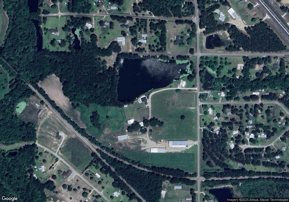
Map
Nearby Homes
- 102 Schley Church Rd
- 218 Gusty Rd
- 178 Cool Breeze Dr
- 00 Rossman Dairy Rd
- 3233 Sylvester Dr
- 372 Westwoods Dr Unit 21
- 378 Old S R 33
- LOT 29 Merganser Ln
- LOT 32 Merganser Ln
- LOT 28 Merganser Ln
- LOT 26 Merganser Ln
- LOT 30 Merganser Ln
- 1791 Funston Sigsbee Rd
- 107 30th Ave NW
- 15,23,27 29th Ave NW
- LOT 39 Westwoods Dr
- LOT 1 Westwoods Dr
- LOT 23 Westwoods Dr
- LOT 35 Westwoods Dr
- LOT 36 Westwoods Dr
- 489 Old Albany Rd
- 451 Old Albany Rd
- 485 Old Albany Rd
- 990 Mcelroy Rd
- 515 Old Albany Rd
- 201 Earl Hall Rd
- 179 Earl Hall Rd
- 440 Old Albany Rd
- 327 Old Albany Rd
- 531 Old Albany Rd
- 219 Earl Hall Rd
- 877 Mcelroy Rd
- 208 Earl Hall Rd
- 144 Clifton Dr
- 168 Country Ln
- 261 Earl Hall Rd
- 144 Schley Church Rd
- 540 Old Albany Rd
- 859 Mcelroy Rd
- 185 Schley Church Rd