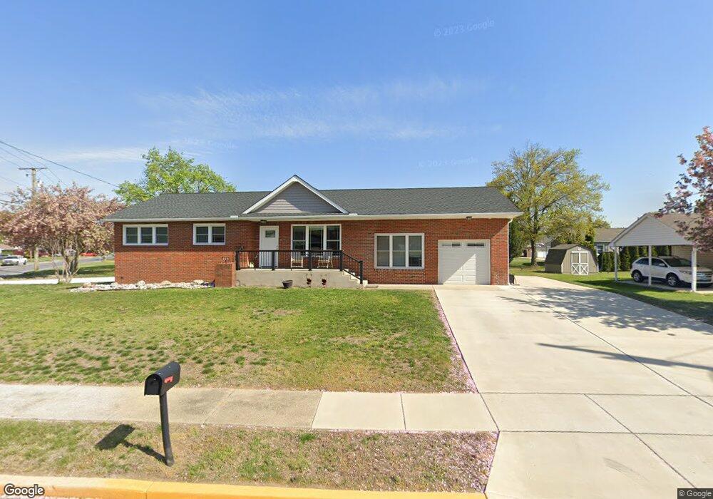
465 Rosenthal Ave Gibbstown, NJ 08027
Greenwich Township NeighborhoodEstimated Value: $257,000 - $330,000
--
Bed
--
Bath
1,404
Sq Ft
$207/Sq Ft
Est. Value
About This Home
This home is located at 465 Rosenthal Ave, Gibbstown, NJ 08027 and is currently estimated at $291,103, approximately $207 per square foot. 465 Rosenthal Ave is a home located in Gloucester County with nearby schools including Nehaunsey Middle School and Guardian Angels Regional School.
Ownership History
Date
Name
Owned For
Owner Type
Purchase Details
Closed on
Dec 18, 2024
Sold by
Buckley Alan and Buckley Mary
Bought by
Buckley Alan
Current Estimated Value
Purchase Details
Closed on
Feb 18, 2020
Sold by
Berman Gene and Berman David
Bought by
Buckley Alan and Buckley Mary
Create a Home Valuation Report for This Property
The Home Valuation Report is an in-depth analysis detailing your home's value as well as a comparison with similar homes in the area
Home Values in the Area
Average Home Value in this Area
Purchase History
| Date | Buyer | Sale Price | Title Company |
|---|---|---|---|
| Buckley Alan | -- | None Listed On Document | |
| Buckley Alan | $72,000 | Sjs Title Llc |
Source: Public Records
Tax History Compared to Growth
Tax History
| Year | Tax Paid | Tax Assessment Tax Assessment Total Assessment is a certain percentage of the fair market value that is determined by local assessors to be the total taxable value of land and additions on the property. | Land | Improvement |
|---|---|---|---|---|
| 2025 | $6,273 | $182,200 | $31,800 | $150,400 |
| 2024 | $5,943 | $182,200 | $31,800 | $150,400 |
| 2023 | $5,943 | $182,200 | $31,800 | $150,400 |
| 2022 | $5,767 | $176,700 | $31,800 | $144,900 |
| 2021 | $5,457 | $153,400 | $31,800 | $121,600 |
| 2020 | $5,024 | $153,400 | $31,800 | $121,600 |
| 2019 | $5,027 | $153,400 | $31,800 | $121,600 |
| 2018 | $4,884 | $153,400 | $31,800 | $121,600 |
| 2017 | $4,766 | $153,400 | $31,800 | $121,600 |
| 2016 | $4,714 | $153,400 | $31,800 | $121,600 |
| 2015 | $4,562 | $153,400 | $31,800 | $121,600 |
| 2014 | $4,366 | $153,400 | $31,800 | $121,600 |
Source: Public Records
Map
Nearby Homes
- 836 E Broad St
- 330 Croce Ave
- 219 Vanneman Blvd
- 344 W Washington St
- 335 W Buck St
- 0 Swedesboro Ave Unit NJGL2061592
- 255 Elizabeth Ave
- 0 S Democrat Rd Unit NJGL2065008
- L18 20 W Broad St
- 269 W Broad St
- 1224 Heddon Ave
- 1214 Walter Ave
- 1043 Penn Line Rd
- 227 W Buck St
- 1534 Pine St
- 140 142 W Jefferson St
- 122 W Washington St
- 1519 Pine St
- 53-55 Roosevelt St
- 100 Giammarino Ave
- 466 Brady Ave
- 477 Rosenthal Ave
- 104 Harmony Rd
- 476 Brady Ave
- 1515 Memorial Ave
- 140 Harmony Rd
- 487 Rosenthal Ave
- 143 Harmony Rd
- 93 Harmony Rd
- 484 Brady Ave
- 465 Brady Ave
- 458 Brady Ave
- 475 Brady Ave
- 85 Harmony Rd
- 109 Morse Ave
- 149 Harmony Rd
- 1511 Memorial Ave
- 156 Harmony Rd
- 1500 Memorial Ave
- 485 Brady Ave