465 Runway Cir Cleveland, GA 30528
Estimated Value: $284,742 - $522,000
--
Bed
--
Bath
3,084
Sq Ft
$131/Sq Ft
Est. Value
About This Home
This home is located at 465 Runway Cir, Cleveland, GA 30528 and is currently estimated at $404,936, approximately $131 per square foot. 465 Runway Cir is a home with nearby schools including White County 9th Grade Academy, Tesnatee Gap Elementary (Old White County Intermediate), and Jack P. Nix Elementary School.
Ownership History
Date
Name
Owned For
Owner Type
Purchase Details
Closed on
Aug 14, 2018
Sold by
Koch Kirt K
Bought by
Brown Robert
Current Estimated Value
Purchase Details
Closed on
May 2, 2012
Sold by
Koch Kirt Karl
Bought by
Sullenberger Theodore G
Purchase Details
Closed on
Apr 16, 2012
Sold by
Sullenberger Theodore G
Bought by
Koch Kirt Karl
Purchase Details
Closed on
Mar 20, 2012
Sold by
Koch Kirt Karl
Bought by
Sullenberger Theodore G
Purchase Details
Closed on
Feb 22, 2012
Sold by
Koch Judy Parker
Bought by
Koch Kirt Karl
Purchase Details
Closed on
Aug 1, 2007
Sold by
Not Provided
Bought by
Koch Kirt K and Koch Judy K
Create a Home Valuation Report for This Property
The Home Valuation Report is an in-depth analysis detailing your home's value as well as a comparison with similar homes in the area
Home Values in the Area
Average Home Value in this Area
Purchase History
| Date | Buyer | Sale Price | Title Company |
|---|---|---|---|
| Brown Robert | $165,000 | -- | |
| Sullenberger Theodore G | -- | -- | |
| Koch Kirt Karl | -- | -- | |
| Koch Kirt Karl | -- | -- | |
| Sullenberger Theodore G | -- | -- | |
| Koch Nevada A | -- | -- | |
| Koch Kirt Karl | $6,490 | -- | |
| Koch Kirt K | $17,500 | -- |
Source: Public Records
Tax History Compared to Growth
Tax History
| Year | Tax Paid | Tax Assessment Tax Assessment Total Assessment is a certain percentage of the fair market value that is determined by local assessors to be the total taxable value of land and additions on the property. | Land | Improvement |
|---|---|---|---|---|
| 2025 | $945 | $45,384 | $12,000 | $33,384 |
| 2024 | $945 | $45,384 | $12,000 | $33,384 |
| 2023 | $874 | $38,540 | $8,400 | $30,140 |
| 2022 | $795 | $33,516 | $8,400 | $25,116 |
| 2021 | $916 | $34,152 | $8,400 | $25,752 |
| 2020 | $1,015 | $36,060 | $8,400 | $27,660 |
| 2019 | $1,018 | $36,060 | $8,400 | $27,660 |
| 2018 | $484 | $17,140 | $4,400 | $12,740 |
| 2017 | $523 | $18,708 | $4,400 | $14,308 |
| 2016 | $523 | $18,708 | $4,400 | $14,308 |
| 2015 | $500 | $46,770 | $4,400 | $14,308 |
| 2014 | $441 | $41,230 | $0 | $0 |
Source: Public Records
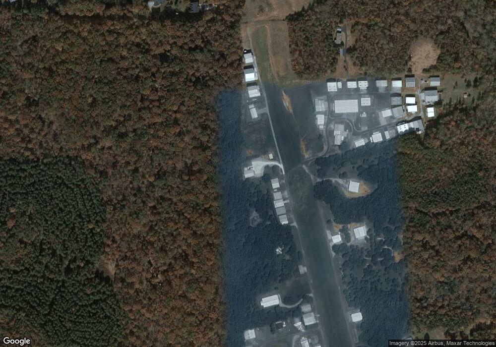
Map
Nearby Homes
- 841 Yonah Meadow Dr
- 79 Hampton Hills Ln
- 96 Joyce Dr Unit (OFF AIRPORT ROAD)
- 1021 Black Rd
- 0 Black Rd Unit 7662078
- 0 Black Rd Unit 10620540
- 82 Tom Teague Rd
- 2011 Lothridge Rd
- 0 Highland Forest Rd Unit TRACT "2" 10559371
- 338 Black Rd
- 869 Mossy Creek Church Rd
- 22 Laurel Park Dr
- 164 Leatherford Rd
- 0 Highway 115 E Unit 10627896
- 176 Westmoreland Meadows Dr
- 915 Holiness Campground Rd
- 0 Holiness Campground Rd Unit 10629188
- 229 Samson Way
- 0 College View Dr Unit LOT 3 10541620
- 3454 Highway 254