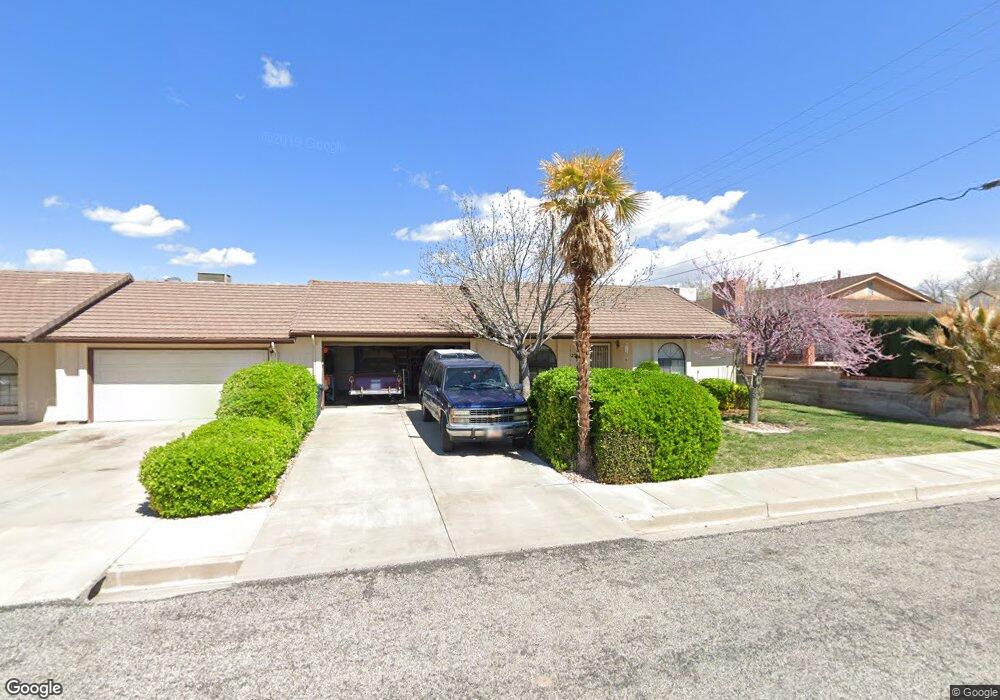
465 S Main St Unit 12 Saint George, UT 84770
Estimated Value: $287,000 - $314,000
3
Beds
2
Baths
1,116
Sq Ft
$274/Sq Ft
Est. Value
About This Home
This home is located at 465 S Main St Unit 12, Saint George, UT 84770 and is currently estimated at $305,559, approximately $273 per square foot. 465 S Main St Unit 12 is a home located in Washington County with nearby schools including Legacy School, Dixie Middle School, and Dixie Intermediate School.
Ownership History
Date
Name
Owned For
Owner Type
Purchase Details
Closed on
Mar 26, 2021
Sold by
Fisher Nathan K
Bought by
Ideal Rpm Llc
Current Estimated Value
Purchase Details
Closed on
Oct 21, 2020
Sold by
Shumate James Lynn and Shumate Cherie Nelson
Bought by
Fisher Nathan K
Purchase Details
Closed on
Jul 13, 2020
Sold by
Shumate Cherie L and Shumate Cherie Nelson
Bought by
Shumate James Lynn and Shumate Cherie Nelson
Purchase Details
Closed on
May 9, 2008
Sold by
Shumate Cherie Lynn and Leigh Joan Hart
Bought by
Shumate Cherie N
Create a Home Valuation Report for This Property
The Home Valuation Report is an in-depth analysis detailing your home's value as well as a comparison with similar homes in the area
Home Values in the Area
Average Home Value in this Area
Purchase History
| Date | Buyer | Sale Price | Title Company |
|---|---|---|---|
| Ideal Rpm Llc | -- | None Available | |
| Fisher Nathan K | -- | Southern Utah Title Co | |
| Shumate James Lynn | -- | None Available | |
| Shumate Cherie N | -- | None Available |
Source: Public Records
Tax History Compared to Growth
Tax History
| Year | Tax Paid | Tax Assessment Tax Assessment Total Assessment is a certain percentage of the fair market value that is determined by local assessors to be the total taxable value of land and additions on the property. | Land | Improvement |
|---|---|---|---|---|
| 2025 | $1,047 | $158,400 | $38,500 | $119,900 |
| 2023 | $1,145 | $171,050 | $38,500 | $132,550 |
| 2022 | $1,150 | $161,535 | $33,000 | $128,535 |
| 2021 | $1,006 | $210,900 | $40,000 | $170,900 |
| 2020 | $940 | $185,500 | $40,000 | $145,500 |
| 2019 | $888 | $171,100 | $40,000 | $131,100 |
| 2018 | $882 | $85,195 | $0 | $0 |
| 2017 | $723 | $69,850 | $0 | $0 |
| 2016 | $720 | $64,350 | $0 | $0 |
| 2015 | $733 | $62,865 | $0 | $0 |
| 2014 | $672 | $58,025 | $0 | $0 |
Source: Public Records
Map
Nearby Homes
- 454 S 100 E Unit 10
- 433 S 100 E
- 55 E 700 S Unit 8
- 55 W 400 S Unit 15
- 524 S 200 E Unit 3
- 544 S 100 W Unit 3
- 295 S Main St
- 155 W 300 S Unit 9
- 345 S 200 W Unit 3
- 377 S 300 W
- 379 S 300 W
- 376 E 300 S Unit 2
- 135 S 100 St W
- 800 W Bluff St S
- 96 S 200 E
- 132 S 200 W
- 443 E 700 S
- 777 S 400 E Unit 45
- 534 E 400 S
- 531 E 400 S
- 465 S Main St Unit 9
- 465 S Main St Unit 8
- 465 S Main St Unit 7
- 465 S Main St Unit 6
- 465 S Main St Unit 5
- 465 S Main St Unit 4
- 465 S Main St Unit 3
- 465 S Main St Unit 20
- 465 S Main St Unit 2
- 465 S Main St Unit 19
- 465 S Main St Unit 18
- 465 S Main St Unit 17
- 465 S Main St Unit 16
- 465 S Main St Unit 15
- 465 S Main St Unit 14
- 465 S Main St Unit 13
- 465 S Main St Unit 11
- 465 S Main St Unit 10
- 465 S Main St Unit 1
- 465 S Main St