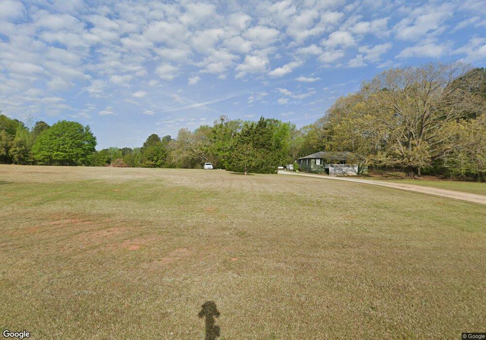
465 Seabolt Rd Locust Grove, GA 30248
Estimated Value: $277,000 - $321,000
3
Beds
1
Bath
1,551
Sq Ft
$195/Sq Ft
Est. Value
About This Home
This home is located at 465 Seabolt Rd, Locust Grove, GA 30248 and is currently estimated at $303,016, approximately $195 per square foot. 465 Seabolt Rd is a home located in Henry County with nearby schools including Unity Grove Elementary School, Locust Grove Middle School, and Locust Grove High School.
Ownership History
Date
Name
Owned For
Owner Type
Purchase Details
Closed on
Apr 23, 2021
Sold by
Seabolt Joseph Howard
Bought by
Stancil Frank J and Stancil Melinda L
Current Estimated Value
Purchase Details
Closed on
Jan 25, 2005
Sold by
Grizzell Gary W
Bought by
Stancil Frank
Create a Home Valuation Report for This Property
The Home Valuation Report is an in-depth analysis detailing your home's value as well as a comparison with similar homes in the area
Home Values in the Area
Average Home Value in this Area
Purchase History
| Date | Buyer | Sale Price | Title Company |
|---|---|---|---|
| Stancil Frank J | -- | -- | |
| Stancil Frank | -- | -- |
Source: Public Records
Tax History Compared to Growth
Tax History
| Year | Tax Paid | Tax Assessment Tax Assessment Total Assessment is a certain percentage of the fair market value that is determined by local assessors to be the total taxable value of land and additions on the property. | Land | Improvement |
|---|---|---|---|---|
| 2025 | $145 | $103,520 | $31,440 | $72,080 |
| 2024 | $145 | $99,240 | $28,280 | $70,960 |
| 2023 | $642 | $93,880 | $27,240 | $66,640 |
| 2022 | $875 | $85,280 | $25,160 | $60,120 |
| 2021 | $633 | $67,880 | $21,600 | $46,280 |
| 2020 | $581 | $59,760 | $20,320 | $39,440 |
| 2019 | $1,416 | $55,360 | $19,280 | $36,080 |
| 2018 | $1,304 | $51,800 | $17,800 | $34,000 |
| 2016 | $1,569 | $47,720 | $15,720 | $32,000 |
| 2015 | $1,196 | $36,520 | $15,080 | $21,440 |
| 2014 | $1,143 | $34,920 | $15,080 | $19,840 |
Source: Public Records
Map
Nearby Homes
- 678 Seabolt Rd
- 705 Seabolt Rd
- 943 Colvin Dr
- 104 Waratah Dr
- 604 Onieda Dr
- 560 Coan Dr
- 1000 Coan Dr
- 75 Price Dr W
- 390 Coan Dr
- 1579 S Bethany Rd
- 825 S Bethany Rd
- 521 Deadwood Trail
- 601 Amerigo Ct
- 305 Annie Ln Unit 2
- 230 Leguin Mill Rd
- 201 Nina Cir
- 735 Strawflower Ln
- 218 Baxter Ln
- 435 Rabbit Run
- 165 Caraway Rd
- 630 Seabolt Rd
- 717 Seabolt Rd
- 0 Seabolt Rd Unit 8617453
- 0 Seabolt Rd Unit 8155053
- 0 Seabolt Rd Unit 8157668
- 0 Seabolt Rd Unit 8983146
- 0 Seabolt Rd Unit 8964886
- 0 Seabolt Rd Unit 8964875
- 0 Seabolt Rd Unit 8964862
- 0 Seabolt Rd Unit 8075993
- 0 Seabolt Rd Unit 8859829
- 0 Seabolt Rd Unit 8859825
- 459 Seabolt Rd
- 455 Seabolt Rd
- 370 Seabolt Rd Unit 5
- 548 Seabolt Rd
- 366 Seabolt Rd Unit 4
- 490 Seabolt Rd
- 362 Seabolt Rd Unit 3
- 358 Seabolt Rd Unit 2