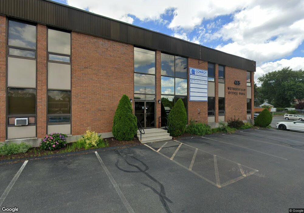
465 Silas Deane Hwy Wethersfield, CT 06109
Estimated Value: $1,655,297
Studio
--
Bath
12,288
Sq Ft
$135/Sq Ft
Est. Value
About This Home
This home is located at 465 Silas Deane Hwy, Wethersfield, CT 06109 and is currently estimated at $1,655,297, approximately $134 per square foot. 465 Silas Deane Hwy is a home located in Hartford County with nearby schools including Charles Wright School, Silas Deane Middle School, and Wethersfield High School.
Ownership History
Date
Name
Owned For
Owner Type
Purchase Details
Closed on
Aug 31, 2007
Sold by
Associcates B and Associcates I
Bought by
Weth Office Pk Holdin
Current Estimated Value
Home Financials for this Owner
Home Financials are based on the most recent Mortgage that was taken out on this home.
Original Mortgage
$800,000
Interest Rate
6.9%
Mortgage Type
Commercial
Create a Home Valuation Report for This Property
The Home Valuation Report is an in-depth analysis detailing your home's value as well as a comparison with similar homes in the area
Home Values in the Area
Average Home Value in this Area
Purchase History
| Date | Buyer | Sale Price | Title Company |
|---|---|---|---|
| Weth Office Pk Holdin | $1,050,000 | -- |
Source: Public Records
Mortgage History
| Date | Status | Borrower | Loan Amount |
|---|---|---|---|
| Open | Weth Office Pk Holdin | $750,000 | |
| Closed | Weth Office Pk Holdin | $800,000 | |
| Previous Owner | Weth Office Pk Holdin | $550,000 |
Source: Public Records
Tax History
| Year | Tax Paid | Tax Assessment Tax Assessment Total Assessment is a certain percentage of the fair market value that is determined by local assessors to be the total taxable value of land and additions on the property. | Land | Improvement |
|---|---|---|---|---|
| 2025 | $31,910 | $774,150 | $413,490 | $360,660 |
| 2024 | $42,381 | $980,580 | $356,510 | $624,070 |
| 2023 | $40,969 | $980,580 | $356,510 | $624,070 |
| 2022 | $40,282 | $980,580 | $356,510 | $624,070 |
| 2021 | $39,880 | $980,580 | $356,510 | $624,070 |
| 2020 | $39,900 | $980,580 | $356,510 | $624,070 |
| 2019 | $39,949 | $980,580 | $356,510 | $624,070 |
| 2018 | $27,771 | $681,000 | $153,400 | $527,600 |
| 2017 | $27,083 | $681,000 | $153,400 | $527,600 |
| 2016 | $26,246 | $681,000 | $153,400 | $527,600 |
| 2015 | $26,007 | $681,000 | $153,400 | $527,600 |
| 2014 | $25,020 | $681,000 | $153,400 | $527,600 |
Source: Public Records
Map
Nearby Homes
- 87 Somerset St
- 91 Somerset St
- 18 Avalon Place
- 35 Stillwold Dr
- 108 Chamberlain Rd
- 219 Jordan Ln Unit 221
- 493 Main St
- 119 Coleman Rd
- 116 Wells Farm Dr
- 97 Brussels Ave
- 704 Franklin Ave
- 70 Stillman Rd
- 90 Goodwin Park Rd
- 137 Dale Rd
- 19 Albert Ave
- 195 Middletown Ave
- 60 Tredeau St
- 38 Wheeler Rd
- 168 Hubbard Rd
- 455 Brimfield Rd
- 465 Silas Deane Hwy Unit Second Floor
- 465 Silas Deane Hwy Unit First Floor
- 26 Tifton Rd
- 32 Tifton Rd
- 260 Church St
- 260 Church St Unit 2
- 38 Tifton Rd
- 276 Church St
- 266 Church St
- 44 Tifton Rd
- 449 Silas Deane Hwy Unit 302B
- 449 Silas Deane Hwy Unit 302A
- 449 Silas Deane Hwy Unit 302E
- 449 Silas Deane Hwy Unit 302C
- 449 Silas Deane Hwy Unit 100
- 462 Silas Deane Hwy
- 50 Tifton Rd
- 4 Ireland Rd
- 446 Silas Deane Hwy
- 284 Church St
Your Personal Tour Guide
Ask me questions while you tour the home.