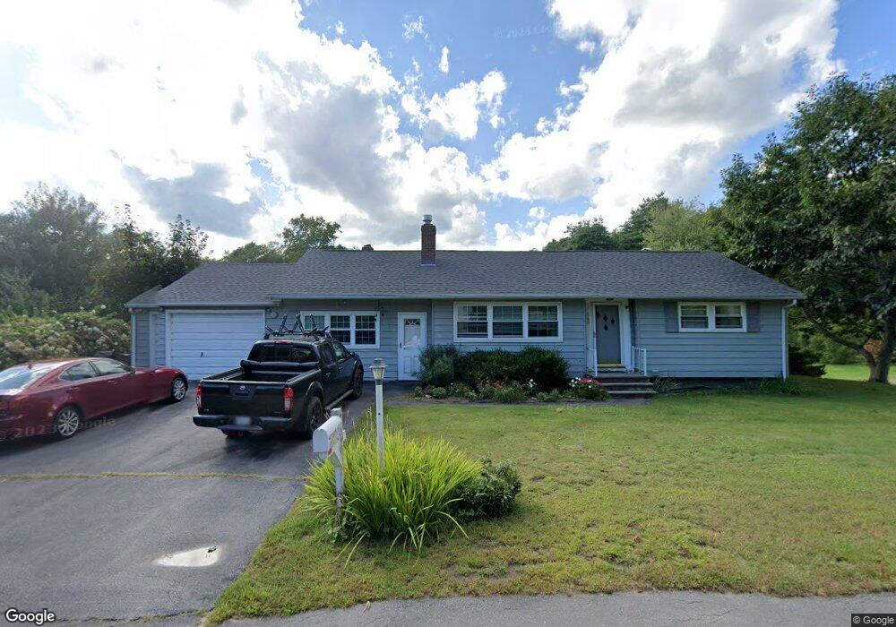
465 W Elm St Yarmouth, ME 04096
Estimated Value: $553,000 - $902,000
2
Beds
2
Baths
2,140
Sq Ft
$316/Sq Ft
Est. Value
About This Home
This home is located at 465 W Elm St, Yarmouth, ME 04096 and is currently estimated at $675,354, approximately $315 per square foot. 465 W Elm St is a home located in Cumberland County with nearby schools including Yarmouth Elementary School, William H. Rowe School, and Frank H. Harrison Middle School.
Ownership History
Date
Name
Owned For
Owner Type
Purchase Details
Closed on
Mar 31, 2010
Sold by
Frye Marion L
Bought by
Payne Robert G and Payne Caroline E
Current Estimated Value
Purchase Details
Closed on
Jan 2, 2009
Sold by
Frye Marion L
Bought by
Payne Robert G and Payne Caroline E
Home Financials for this Owner
Home Financials are based on the most recent Mortgage that was taken out on this home.
Original Mortgage
$210,000
Interest Rate
6.08%
Mortgage Type
Purchase Money Mortgage
Create a Home Valuation Report for This Property
The Home Valuation Report is an in-depth analysis detailing your home's value as well as a comparison with similar homes in the area
Home Values in the Area
Average Home Value in this Area
Purchase History
| Date | Buyer | Sale Price | Title Company |
|---|---|---|---|
| Payne Robert G | -- | -- | |
| Payne Robert G | $210,000 | -- |
Source: Public Records
Mortgage History
| Date | Status | Borrower | Loan Amount |
|---|---|---|---|
| Previous Owner | Payne Robert G | $210,000 |
Source: Public Records
Tax History Compared to Growth
Tax History
| Year | Tax Paid | Tax Assessment Tax Assessment Total Assessment is a certain percentage of the fair market value that is determined by local assessors to be the total taxable value of land and additions on the property. | Land | Improvement |
|---|---|---|---|---|
| 2024 | $7,077 | $275,700 | $147,200 | $128,500 |
| 2023 | $6,490 | $275,700 | $147,200 | $128,500 |
| 2022 | $5,961 | $275,700 | $147,200 | $128,500 |
| 2021 | $5,013 | $275,700 | $147,200 | $128,500 |
| 2020 | $4,928 | $275,700 | $147,200 | $128,500 |
| 2019 | $5,200 | $275,700 | $147,200 | $128,500 |
| 2018 | $4,907 | $275,700 | $147,200 | $128,500 |
| 2017 | $491 | $275,700 | $147,200 | $128,500 |
| 2016 | $4,703 | $275,700 | $147,200 | $128,500 |
| 2015 | $4,116 | $190,900 | $84,800 | $106,100 |
| 2014 | $4,123 | $190,900 | $84,800 | $106,100 |
| 2013 | $4,200 | $190,900 | $0 | $0 |
Source: Public Records
Map
Nearby Homes
- 24 York Ledge Dr
- 37 South St
- 1 Railroad Square Unit Townhome C
- 1 Railroad Square Unit 103
- 1 Railroad Square Unit 205
- 1 Railroad Square Unit 305
- 1 Railroad Square Unit 403
- 1 Railroad Square Unit 101
- 309 Main St Unit A
- 70 Main St
- 51 Pleasant St
- 86 Pleasant St
- 9 Newell Rd
- 90 W Main St
- 31 Stony Brook Ln
- 1 Ledge Rd
- 25 Meadowbrook Ln
- 51 Meeting House Farms Rd
- 44 Ellen Cir
- 62 Blueberry Cove Rd Unit 62