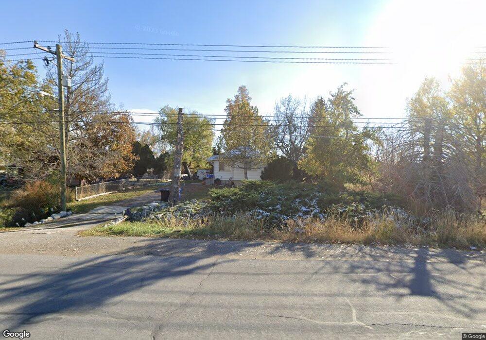
465 W Porter Ln Centerville, UT 84014
Estimated Value: $609,000 - $825,000
3
Beds
3
Baths
2,628
Sq Ft
$282/Sq Ft
Est. Value
About This Home
This home is located at 465 W Porter Ln, Centerville, UT 84014 and is currently estimated at $739,929, approximately $281 per square foot. 465 W Porter Ln is a home located in Davis County with nearby schools including J A Taylor Elementary School, Centerville Jr High, and Viewmont High School.
Ownership History
Date
Name
Owned For
Owner Type
Purchase Details
Closed on
Jun 13, 2024
Sold by
Lois M Obrien Family Protection Trust and Obrien Gary K
Bought by
Gary K Obrien Revocable Trust and Obrien
Current Estimated Value
Purchase Details
Closed on
Oct 24, 2003
Sold by
Obrien Gary K and Obrien Lois M
Bought by
Obrien Lois M and Lois M Obrien Family Protection Trust
Purchase Details
Closed on
Jul 29, 1998
Sold by
Hill Robert Sk and Hill Susan R
Bought by
Obrien Gary K and Obrien Lois M
Create a Home Valuation Report for This Property
The Home Valuation Report is an in-depth analysis detailing your home's value as well as a comparison with similar homes in the area
Purchase History
| Date | Buyer | Sale Price | Title Company |
|---|---|---|---|
| Gary K Obrien Revocable Trust | -- | None Listed On Document | |
| Obrien Lois M | -- | -- | |
| Obrien Gary K | -- | -- |
Source: Public Records
Tax History
| Year | Tax Paid | Tax Assessment Tax Assessment Total Assessment is a certain percentage of the fair market value that is determined by local assessors to be the total taxable value of land and additions on the property. | Land | Improvement |
|---|---|---|---|---|
| 2025 | $4,376 | $418,551 | $264,096 | $154,455 |
| 2024 | $4,042 | $393,249 | $261,126 | $132,123 |
| 2023 | $3,885 | $375,650 | $215,751 | $159,898 |
| 2022 | $4,091 | $720,000 | $369,957 | $350,043 |
| 2021 | $3,860 | $582,000 | $346,994 | $235,006 |
| 2020 | $3,535 | $533,000 | $314,667 | $218,333 |
| 2019 | $3,647 | $537,000 | $258,762 | $278,238 |
| 2018 | $3,362 | $489,000 | $240,017 | $248,983 |
| 2016 | $2,649 | $214,170 | $98,426 | $115,744 |
| 2015 | $2,600 | $198,299 | $98,426 | $99,873 |
| 2014 | $2,088 | $162,948 | $98,426 | $64,522 |
| 2013 | -- | $194,155 | $81,783 | $112,372 |
Source: Public Records
Map
Nearby Homes
- 324 S 600 W
- 287 S 680 W Unit 9
- 330 W Paradiso Ln
- 204 Lyman Ln
- 328 W Pages Ln
- 147 N 360 W Unit 21
- 88 W 50 S Unit A4
- 88 W 50 S Unit C-3
- 88 W 50 S Unit B5
- 83 W 850 S
- 951 Centerville Commons Way
- 96 Village Square Rd
- 1767 N 600 W
- 1520 N 550 W
- 56 W 200 N
- 680 W 2350 N
- 235 W 1400 N
- 967 S Courtyard Ln
- 345 E 600 S
- 1260 N 200 W
Your Personal Tour Guide
Ask me questions while you tour the home.