465 Wynncrest Dr Marietta, OH 45750
Estimated Value: $219,000 - $325,080
3
Beds
1
Bath
1,008
Sq Ft
$259/Sq Ft
Est. Value
About This Home
This home is located at 465 Wynncrest Dr, Marietta, OH 45750 and is currently estimated at $261,020, approximately $258 per square foot. 465 Wynncrest Dr is a home located in Washington County with nearby schools including Warren High School.
Ownership History
Date
Name
Owned For
Owner Type
Purchase Details
Closed on
Oct 21, 2022
Sold by
Whalen Charles D and Penny Jean
Bought by
Dornick William C and Dornick Samantha T
Current Estimated Value
Home Financials for this Owner
Home Financials are based on the most recent Mortgage that was taken out on this home.
Original Mortgage
$274,928
Outstanding Balance
$264,525
Interest Rate
6.02%
Mortgage Type
FHA
Estimated Equity
-$3,505
Purchase Details
Closed on
Jul 1, 1991
Bought by
Whalen Charles D and Whalen Penny
Create a Home Valuation Report for This Property
The Home Valuation Report is an in-depth analysis detailing your home's value as well as a comparison with similar homes in the area
Home Values in the Area
Average Home Value in this Area
Purchase History
| Date | Buyer | Sale Price | Title Company |
|---|---|---|---|
| Dornick William C | $280,000 | Approved Attorneys Title | |
| Dornick William C | $280,000 | Approved Attorneys Title | |
| Whalen Charles D | $66,500 | -- |
Source: Public Records
Mortgage History
| Date | Status | Borrower | Loan Amount |
|---|---|---|---|
| Open | Dornick William C | $274,928 | |
| Closed | Dornick William C | $274,928 |
Source: Public Records
Tax History Compared to Growth
Tax History
| Year | Tax Paid | Tax Assessment Tax Assessment Total Assessment is a certain percentage of the fair market value that is determined by local assessors to be the total taxable value of land and additions on the property. | Land | Improvement |
|---|---|---|---|---|
| 2024 | $2,183 | $56,300 | $6,750 | $49,550 |
| 2023 | $2,183 | $56,300 | $6,750 | $49,550 |
| 2022 | $2,131 | $56,300 | $6,750 | $49,550 |
| 2021 | $1,637 | $41,360 | $5,090 | $36,270 |
| 2020 | $1,635 | $41,360 | $5,090 | $36,270 |
| 2019 | $1,612 | $41,360 | $5,090 | $36,270 |
| 2018 | $1,501 | $37,340 | $4,420 | $32,920 |
| 2017 | $1,493 | $37,340 | $4,420 | $32,920 |
| 2016 | $1,901 | $37,340 | $4,420 | $32,920 |
| 2015 | $1,237 | $34,360 | $4,670 | $29,690 |
| 2014 | $1,769 | $34,360 | $4,670 | $29,690 |
| 2013 | $1,235 | $34,360 | $4,670 | $29,690 |
Source: Public Records
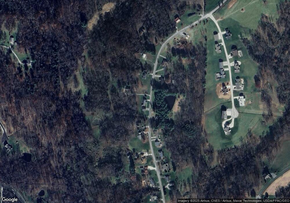
Map
Nearby Homes
- 2021 Robinson Hill Rd
- 254 Riggenbach Hill Rd
- 65 High Point Dr
- 0 Fisher Ridge Rd Tract 8
- 0 Fisher Ridge Rd Tract 7
- 0 Fisher Ridge Rd Tract 6
- 0 Fisher Ridge Rd Tract 5
- 0 Fisher Ridge Rd Tract 4
- 0 Fisher Ridge Rd Tract 2
- 0 Fisher Ridge Rd Tract 1
- 116 Pineview Dr
- 20645 Ohio 676
- 100 Pineview Dr
- 0 Fisher Ridge Rd
- 203 57th St
- 302 57th St
- 411 58th St
- 0 River Rd Unit Lot WP001
- 407 56th St
- 375 Belavista Dr
- 475 Wynncrest Dr
- 410 Wynncrest Dr
- 500 Wynncrest Dr
- 505 Wynncrest Dr
- 405 Wynncrest Dr
- 525 Wynncrest Dr
- 395 Wynncrest Dr
- 520 Wynncrest Dr
- 380 Wynncrest Dr
- 330 Wynncrest Dr
- 320 Wynncrest Dr
- 325 Wynncrest Dr
- 575 Wynncrest Dr
- 104 Clare Kennedy Dr
- 106 Clare Kennedy Dr
- 102 Clare Kennedy Dr
- 605 Wynncrest Dr
- 355 Wynncrest Dr
- 295 Wynncrest Dr
- 108 Clare Kennedy Dr