465 Zbick Rd Shavertown, PA 18708
Estimated Value: $225,000 - $517,000
Studio
--
Bath
2,016
Sq Ft
$208/Sq Ft
Est. Value
About This Home
This home is located at 465 Zbick Rd, Shavertown, PA 18708 and is currently estimated at $419,312, approximately $207 per square foot. 465 Zbick Rd is a home located in Luzerne County.
Ownership History
Date
Name
Owned For
Owner Type
Purchase Details
Closed on
Mar 15, 2007
Sold by
Phares Patricia M
Bought by
Gorski Brian B and Gorski Elizabeth J
Current Estimated Value
Home Financials for this Owner
Home Financials are based on the most recent Mortgage that was taken out on this home.
Original Mortgage
$205,000
Outstanding Balance
$121,446
Interest Rate
6.33%
Mortgage Type
Purchase Money Mortgage
Estimated Equity
$297,866
Create a Home Valuation Report for This Property
The Home Valuation Report is an in-depth analysis detailing your home's value as well as a comparison with similar homes in the area
Home Values in the Area
Average Home Value in this Area
Purchase History
| Date | Buyer | Sale Price | Title Company |
|---|---|---|---|
| Gorski Brian B | $295,000 | None Available |
Source: Public Records
Mortgage History
| Date | Status | Borrower | Loan Amount |
|---|---|---|---|
| Open | Gorski Brian B | $205,000 |
Source: Public Records
Tax History
| Year | Tax Paid | Tax Assessment Tax Assessment Total Assessment is a certain percentage of the fair market value that is determined by local assessors to be the total taxable value of land and additions on the property. | Land | Improvement |
|---|---|---|---|---|
| 2026 | $6,738 | $297,700 | $54,600 | $243,100 |
| 2025 | $6,605 | $297,700 | $54,600 | $243,100 |
| 2024 | $6,582 | $297,700 | $54,600 | $243,100 |
| 2023 | $6,546 | $297,700 | $54,600 | $243,100 |
| 2022 | $6,491 | $297,700 | $54,600 | $243,100 |
| 2021 | $6,241 | $297,700 | $54,600 | $243,100 |
| 2020 | $6,241 | $297,700 | $54,600 | $243,100 |
| 2019 | $5,725 | $297,700 | $54,600 | $243,100 |
| 2018 | $5,567 | $297,700 | $54,600 | $243,100 |
| 2017 | $5,441 | $297,700 | $54,600 | $243,100 |
| 2016 | -- | $297,700 | $54,600 | $243,100 |
| 2015 | $4,428 | $297,700 | $54,600 | $243,100 |
| 2014 | $4,428 | $297,700 | $54,600 | $243,100 |
Source: Public Records
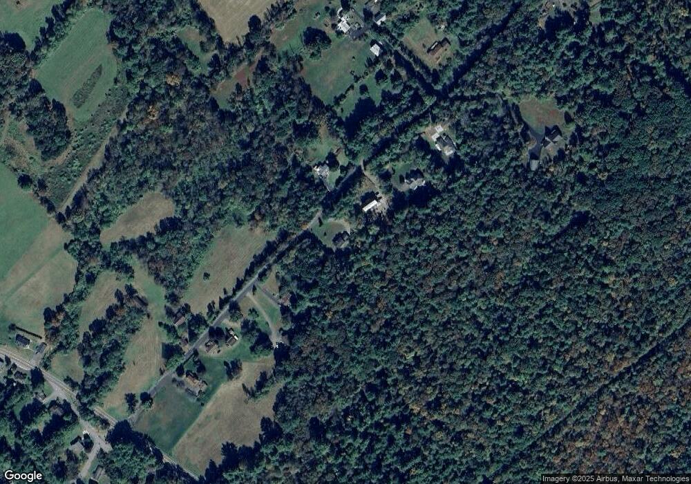
Map
Nearby Homes
- 1355 Oak Dr
- 50 Smith Row
- 127 White Oak Dr
- 269 Orchard St
- 250 Prospect St
- 785 W Main St
- 99 W Main St
- 0 E Poplarst
- 52 Franklin St
- 55 Blair St
- 626 W Main St
- 537 W Main St
- 113 Jackson Rd
- 205 Garfield St
- 381 W Main St
- 35 Minden Ct
- 69 Girard Ave
- 0 Crescent Ledge Dr Unit 26-1125
- 42 E Shawnee Ave
- 22 Willow St
Your Personal Tour Guide
Ask me questions while you tour the home.