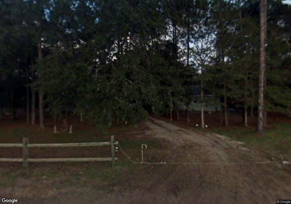
4650 Carter Rd Unit C Saint Augustine, FL 32086
Moultrie NeighborhoodEstimated Value: $311,000 - $347,000
3
Beds
2
Baths
1,224
Sq Ft
$268/Sq Ft
Est. Value
About This Home
This home is located at 4650 Carter Rd Unit C, Saint Augustine, FL 32086 and is currently estimated at $327,900, approximately $267 per square foot. 4650 Carter Rd Unit C is a home located in St. Johns County with nearby schools including Otis A. Mason Elementary School, Gamble Rogers Middle School, and Pedro Menendez High School.
Ownership History
Date
Name
Owned For
Owner Type
Purchase Details
Closed on
Aug 17, 2023
Sold by
Thomas James Kevin
Bought by
Sharon Qualls Thomas Trust and Thomas
Current Estimated Value
Purchase Details
Closed on
Aug 29, 2003
Sold by
Higginbotham John H
Bought by
Williams Brenda J
Purchase Details
Closed on
May 4, 2001
Sold by
Mussallem Elaine T
Bought by
Thomas Karri A
Home Financials for this Owner
Home Financials are based on the most recent Mortgage that was taken out on this home.
Original Mortgage
$94,050
Interest Rate
6.95%
Create a Home Valuation Report for This Property
The Home Valuation Report is an in-depth analysis detailing your home's value as well as a comparison with similar homes in the area
Home Values in the Area
Average Home Value in this Area
Purchase History
| Date | Buyer | Sale Price | Title Company |
|---|---|---|---|
| Sharon Qualls Thomas Trust | $100 | None Listed On Document | |
| Sharon Qualls Thomas Trust | $100 | None Listed On Document | |
| Williams Brenda J | -- | -- | |
| Thomas Karri A | $99,000 | Independent Title Of St Augu |
Source: Public Records
Mortgage History
| Date | Status | Borrower | Loan Amount |
|---|---|---|---|
| Previous Owner | Thomas Karri A | $94,050 |
Source: Public Records
Tax History Compared to Growth
Tax History
| Year | Tax Paid | Tax Assessment Tax Assessment Total Assessment is a certain percentage of the fair market value that is determined by local assessors to be the total taxable value of land and additions on the property. | Land | Improvement |
|---|---|---|---|---|
| 2025 | $1,159 | $122,546 | -- | -- |
| 2024 | $1,159 | $119,092 | -- | -- |
| 2023 | $1,159 | $115,623 | $0 | $0 |
| 2022 | $1,163 | $112,255 | $0 | $0 |
| 2021 | $1,145 | $108,985 | $0 | $0 |
| 2020 | $1,137 | $107,480 | $0 | $0 |
| 2019 | $1,145 | $105,064 | $0 | $0 |
| 2018 | $1,129 | $103,105 | $0 | $0 |
| 2017 | $1,127 | $101,468 | $0 | $0 |
| 2016 | $1,122 | $101,887 | $0 | $0 |
| 2015 | $1,137 | $100,131 | $0 | $0 |
| 2014 | $1,137 | $97,030 | $0 | $0 |
Source: Public Records
Map
Nearby Homes
- 4420 Carter Rd Unit 19
- 4420 Carter Rd
- 4420 Carter Rd Unit 26
- Appleby Plan at Brookestone
- Augusta Plan at Brookestone
- Daniel Plan at Brookestone
- Darius Plan at Brookestone
- Hanson Plan at Brookestone
- 93 Adalyn Ave
- Harley Plan at Brookestone
- 4849 Winton Cir
- 245 Wildwood Dr Unit 225
- 245 Wildwood Dr Unit 70
- 245 Wildwood Dr Unit 52
- 245 Wildwood Dr Unit 99
- 245 Wildwood Dr Unit 131
- 245 Wildwood Dr Unit 181
- 245 Wildwood Dr
- 163 Adalyn Ave
- 170 Kristens Quarry Place
- 4650 Carter Rd
- 4650 Carter Rd Unit F
- 4620 Carter Rd Unit C
- 4646 Carter Rd
- 4670 Carter Rd Unit B
- 4712 Carter Rd
- 4600&4590 Carter Rd
- 4590&4600 Carter Rd
- 4590 Carter Rd
- 4713 Sherlock Place
- 4717 Sherlock Place
- 4280 Wicks Branch Rd
- 4570 Carter Rd
- 4709 Sherlock Place
- 4721 Sherlock Place
- 115 Wild Cat Trail
- 4640 Carter Rd
- 219 Osprey Marsh Ln
- 223 Osprey Marsh Ln
- 215 Osprey Marsh Ln
