4650 E Hampton Blvd Morristown, TN 37813
Estimated Value: $506,269 - $610,000
About This Home
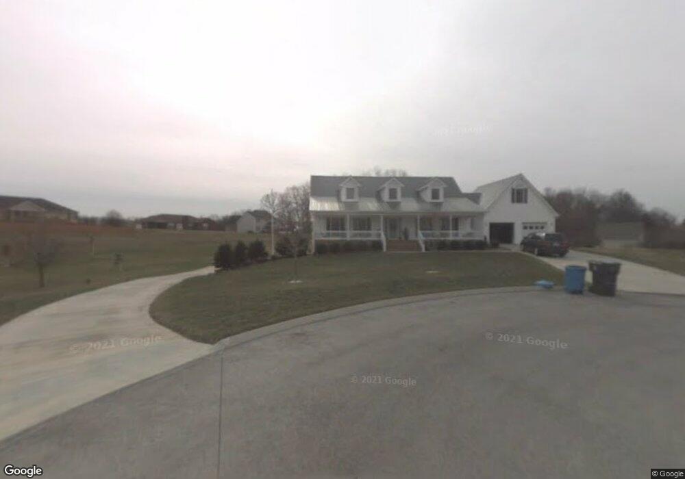
This home is located at 4650 E Hampton Blvd, Morristown, TN 37813 and is currently estimated at $557,567, approximately $140 per square foot. 4650 E Hampton Blvd is a home located in Hamblen County with nearby schools including Russellville Elementary School, East Ridge Middle School, and Morristown East High School.
Ownership History
We collect this data history from publicly available records. To have your information removed, we recommend requesting removal directly through your county’s website.
Purchase Details
Purchase Details
Purchase Details
Purchase Details
Purchase Details
Purchase Details
Purchase Details
Purchase Details
Purchase Details
Home Values in the Area
Average Home Value in this Area
Purchase History
We collect this data history from publicly available records. To have your information removed, we recommend requesting removal directly through your county’s website.
| Date | Buyer | Sale Price | Title Company |
|---|---|---|---|
| $23,500 | -- | ||
| $21,000 | -- | ||
| -- | -- | ||
| -- | -- | ||
| -- | -- | ||
| -- | -- | ||
| -- | -- | ||
| -- | -- | ||
| -- | -- |
Tax History
We collect this data history from publicly available records. To have your information removed, we recommend requesting removal directly through your county’s website.
| Year | Tax Paid | Tax Assessment Tax Assessment Total Assessment is a certain percentage of the fair market value that is determined by local assessors to be the total taxable value of land and additions on the property. | Land | Improvement |
|---|---|---|---|---|
| 2025 | $2,147 | $146,075 | $16,275 | $129,800 |
| 2024 | $1,392 | $70,675 | $10,100 | $60,575 |
| 2023 | $1,392 | $70,675 | $0 | $0 |
| 2022 | $1,392 | $70,675 | $10,100 | $60,575 |
| 2021 | $1,392 | $70,675 | $10,100 | $60,575 |
| 2020 | $1,392 | $70,675 | $10,100 | $60,575 |
| 2019 | $1,362 | $63,925 | $9,475 | $54,450 |
| 2018 | $1,362 | $63,925 | $9,475 | $54,450 |
| 2017 | $1,362 | $63,925 | $9,475 | $54,450 |
| 2016 | $1,272 | $63,925 | $9,475 | $54,450 |
| 2015 | $1,183 | $63,925 | $9,475 | $54,450 |
| 2014 | -- | $63,925 | $9,475 | $54,450 |
| 2013 | -- | $66,975 | $0 | $0 |
Map
- 4683 Stapleton Rd
- 4471 Ashford Dr
- 670 Jones Franklin Rd
- 670 Jones-Franklin Rd
- 4458 Brockland Dr
- 4532 Yorkshire Ln
- 1190 George Byrd Rd
- 1180 George Byrd Rd
- 4431 Whitecliff St
- 4270 Brockland Dr
- 4095 Eagles Nest Dr
- 4028 Eagles View Ct
- 1405 Dover Rd
- 1452 Windfield Dr
- 294 Flemings Dr
- 5126 E Morris Blvd
- 1484 Windfield Dr
- 1675 Carroll Rd
- 1689 Carroll Rd
- 1744 Carroll Rd
- 4603 Lockley Ct
- 4639 E Hampton Blvd
- 4687 E Hampton Blvd
- 4687 E Hampton Blvd
- 4680 E Hampton Blvd
- 4665 Lockley Ct
- 4639 Brockland Dr
- 4565 Lockley Ct
- 4635 Brockland Dr
- 4625 Brockland Dr
- 4693 E Hampton Blvd
- 4669 Brockland Dr
- 4640 Brockland Dr
- 4700 E Hampton Blvd
- 4703 Lockley Ct
- 4656 Brockland Dr
- 4630 Brockland Dr
- 4615 Brockland Dr
- 4570 Lockley Ct
- 4600 Lockley Ct
Ask me questions while you tour the home.