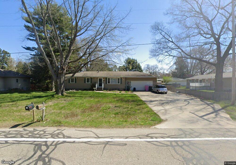
4650 Rood Rd Norton Shores, MI 49441
Estimated Value: $289,638 - $324,000
3
Beds
2
Baths
1,812
Sq Ft
$167/Sq Ft
Est. Value
About This Home
This home is located at 4650 Rood Rd, Norton Shores, MI 49441 and is currently estimated at $302,410, approximately $166 per square foot. 4650 Rood Rd is a home located in Muskegon County with nearby schools including Mona Shores High School, Michigan Dunes Montessori School, and West Shore Lutheran School.
Ownership History
Date
Name
Owned For
Owner Type
Purchase Details
Closed on
Nov 17, 2017
Sold by
Bush David
Bought by
Bush David and Bush Reecca
Current Estimated Value
Purchase Details
Closed on
Jan 23, 2012
Sold by
Bush David and Bush Angela
Bought by
Bush David A
Home Financials for this Owner
Home Financials are based on the most recent Mortgage that was taken out on this home.
Original Mortgage
$129,084
Outstanding Balance
$85,349
Interest Rate
3.25%
Mortgage Type
FHA
Estimated Equity
$217,061
Purchase Details
Closed on
Aug 22, 2008
Sold by
Wolffis Randal S and Wolffis Jayne L
Bought by
Bush David
Home Financials for this Owner
Home Financials are based on the most recent Mortgage that was taken out on this home.
Original Mortgage
$131,928
Interest Rate
6.49%
Mortgage Type
FHA
Create a Home Valuation Report for This Property
The Home Valuation Report is an in-depth analysis detailing your home's value as well as a comparison with similar homes in the area
Home Values in the Area
Average Home Value in this Area
Purchase History
| Date | Buyer | Sale Price | Title Company |
|---|---|---|---|
| Bush David | -- | None Available | |
| Bush David A | -- | Nta | |
| Bush David | $133,300 | Chicago Title Insurance Co |
Source: Public Records
Mortgage History
| Date | Status | Borrower | Loan Amount |
|---|---|---|---|
| Open | Bush David A | $129,084 | |
| Previous Owner | Bush David | $131,928 |
Source: Public Records
Tax History Compared to Growth
Tax History
| Year | Tax Paid | Tax Assessment Tax Assessment Total Assessment is a certain percentage of the fair market value that is determined by local assessors to be the total taxable value of land and additions on the property. | Land | Improvement |
|---|---|---|---|---|
| 2025 | $3,458 | $123,200 | $0 | $0 |
| 2024 | $2,711 | $115,200 | $0 | $0 |
| 2023 | $2,589 | $97,700 | $0 | $0 |
| 2022 | $2,583 | $86,400 | $0 | $0 |
| 2021 | $2,510 | $81,600 | $0 | $0 |
| 2020 | $2,482 | $76,700 | $0 | $0 |
| 2019 | $2,437 | $71,700 | $0 | $0 |
| 2018 | $2,332 | $68,600 | $0 | $0 |
| 2017 | $2,278 | $66,200 | $0 | $0 |
| 2016 | $1,764 | $61,900 | $0 | $0 |
| 2015 | -- | $59,500 | $0 | $0 |
| 2014 | $2,117 | $57,700 | $0 | $0 |
| 2013 | -- | $54,800 | $0 | $0 |
Source: Public Records
Map
Nearby Homes
- 1558 Brookwood Dr
- 1769 Bayview Dr
- 4666 Heinicke St
- 5085 Gay St
- 4235 Braeburn Ct
- 4230 Braeburn Ct
- 5075 Wickham Dr
- 5153 Shady Creek Dr
- 4655 Henry St
- 1887 Hendrick Rd
- 1991 W Glen Ct
- 5043 Maranatha Dr
- 3920 Braeburn Dr
- 1812 Ritter Hills Dr
- 3854 Greuling Rd
- 5128 Henry St
- 740 Bridgeview Bay Dr
- 3891 Wickham Dr
- 608 Porter Rd
- 1905 Crestwood Ln
- 4630 Rood Rd
- 1390 Brookwood Dr
- 1372 Brookwood Dr
- 4651 Rood Rd
- 1369 W Hile Rd
- 1356 Brookwood Dr
- 4635 Rood Rd
- 1416 Brookwood Dr
- 1385 W Hile Rd
- 4692 Rood Rd
- 1355 W Hile Rd
- 4619 Rood Rd
- 1355 Brookwood Dr
- 1336 Brookwood Dr
- 1415 Brookwood Dr
- 1440 Brookwood Dr
- 1371 Brookwood Dr
- 1341 W Hile Rd
- 1384 W Hile Rd
- 1370 W Hile Rd