Estimated Value: $192,000 - $462,000
5
Beds
2
Baths
2,560
Sq Ft
$140/Sq Ft
Est. Value
About This Home
This home is located at 46500 Lovers Loop, Kenai, AK 99611 and is currently estimated at $358,251, approximately $139 per square foot. 46500 Lovers Loop is a home located in Kenai Peninsula Borough with nearby schools including Nikiski North Star Elementary School and Nikiski Middle/Senior High School.
Ownership History
Date
Name
Owned For
Owner Type
Purchase Details
Closed on
Nov 26, 2003
Sold by
Thompson R William R and Thompson Cheryl A
Bought by
Barndt I Matthew I and Barndt Heather L
Current Estimated Value
Home Financials for this Owner
Home Financials are based on the most recent Mortgage that was taken out on this home.
Original Mortgage
$106,000
Outstanding Balance
$49,530
Interest Rate
6%
Mortgage Type
Seller Take Back
Estimated Equity
$308,721
Create a Home Valuation Report for This Property
The Home Valuation Report is an in-depth analysis detailing your home's value as well as a comparison with similar homes in the area
Home Values in the Area
Average Home Value in this Area
Purchase History
| Date | Buyer | Sale Price | Title Company |
|---|---|---|---|
| Barndt I Matthew I | -- | First American Title Of Alas |
Source: Public Records
Mortgage History
| Date | Status | Borrower | Loan Amount |
|---|---|---|---|
| Open | Barndt I Matthew I | $106,000 |
Source: Public Records
Tax History
| Year | Tax Paid | Tax Assessment Tax Assessment Total Assessment is a certain percentage of the fair market value that is determined by local assessors to be the total taxable value of land and additions on the property. | Land | Improvement |
|---|---|---|---|---|
| 2025 | $2,459 | $249,500 | $24,000 | $225,500 |
| 2024 | $2,459 | $246,400 | $21,200 | $225,200 |
| 2023 | $2,378 | $235,900 | $18,400 | $217,500 |
| 2022 | $2,045 | $200,300 | $16,100 | $184,200 |
| 2021 | $1,925 | $199,200 | $16,100 | $183,100 |
| 2020 | $1,898 | $189,600 | $12,700 | $176,900 |
| 2019 | $960 | $191,900 | $12,700 | $179,200 |
| 2018 | $1,925 | $192,300 | $12,700 | $179,600 |
| 2017 | $1,703 | $173,600 | $12,700 | $160,900 |
| 2016 | $1,188 | $169,900 | $12,700 | $157,200 |
| 2015 | $1,325 | $185,700 | $12,700 | $173,000 |
| 2014 | $1,325 | $174,200 | $12,700 | $161,500 |
Source: Public Records
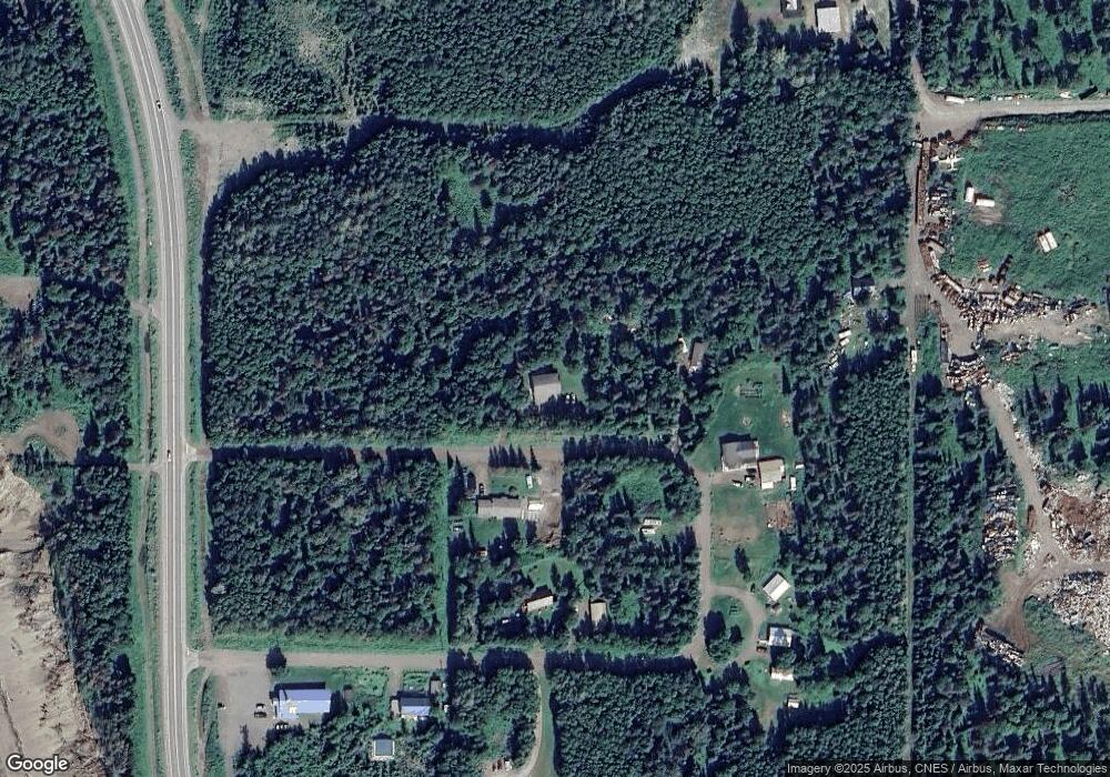
Map
Nearby Homes
- 46175 Spruce Place
- 46110 Spruce Place
- 48672 Miller Loop Rd
- L9-10 B4 Baranoff Dr
- 53642 Timber Ln
- Lot C5A Citabria St
- Lot C1A Citabria St
- 44421 Lake Vista Dr
- 53578 Bell Ave
- 43905 Salamato St
- L6 B2 Bell Ave
- 47004 Emery St
- 53418 Williams Rd
- 000 Windy Rd
- 52412 Treasure Chest Ave
- 000 Princess Lake Estates
- 52153 Als Rd
- Tr 3 Als Rd
- 53843 Glory Ave
- 000 Milky Way
- 46480 Lovers Loop
- 46475 Lovers Loop
- 46495 Lovers Loop
- 46495 N Lovers Loop
- 46460 Lovers Loop
- 46395 Lovers Loop
- 46420 Lovers Loop
- 54123 S Lovers Loop
- 54025 Aaron Ave
- 46440 Lovers Loop
- 54164 Lovers Loop
- 46380 Lovers Loop
- 46400 Lovers Loop
- 46400 Lovers Loop
- 54220 Aaron Ave
- 54020 Aaron Ave
- 46365 Kenai Spur Hwy
- L10 B2 Miller
- 46395 Kenai Spur Hwy
- 54240 Aaron Ave
Your Personal Tour Guide
Ask me questions while you tour the home.