Estimated Value: $460,000 - $516,228
2
Beds
1
Bath
2,104
Sq Ft
$235/Sq Ft
Est. Value
About This Home
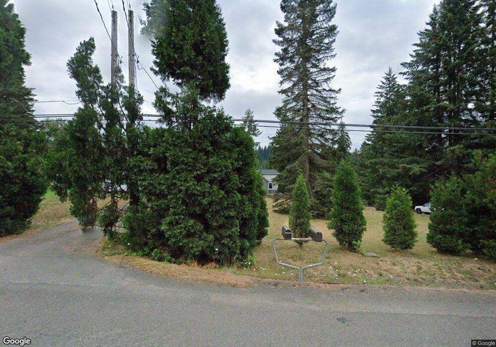
This home is located at 46500 SE Highway 26, Sandy, OR 97055 and is currently estimated at $495,409, approximately $235 per square foot. 46500 SE Highway 26 is a home located in Clackamas County with nearby schools including Firwood Elementary School, Cedar Ridge Middle School, and Sandy High School.
Ownership History
Date
Name
Owned For
Owner Type
Purchase Details
Closed on
Aug 18, 2003
Sold by
Kitchen Joyce and Kitchen Guy
Bought by
Kitchen Joyce and Kitchen Guy
Current Estimated Value
Purchase Details
Closed on
Apr 12, 2002
Sold by
Peery Louise Bernadine and Skipper Denise Mary
Bought by
Kitchen Guy and Kitchen Joyce
Home Financials for this Owner
Home Financials are based on the most recent Mortgage that was taken out on this home.
Original Mortgage
$123,750
Outstanding Balance
$51,002
Interest Rate
6.87%
Estimated Equity
$444,407
Create a Home Valuation Report for This Property
The Home Valuation Report is an in-depth analysis detailing your home's value as well as a comparison with similar homes in the area
Home Values in the Area
Average Home Value in this Area
Purchase History
| Date | Buyer | Sale Price | Title Company |
|---|---|---|---|
| Kitchen Joyce | -- | Landamerica Lawyers Title | |
| Kitchen Guy | -- | First American Title Ins Co |
Source: Public Records
Mortgage History
| Date | Status | Borrower | Loan Amount |
|---|---|---|---|
| Open | Kitchen Guy | $123,750 |
Source: Public Records
Tax History Compared to Growth
Tax History
| Year | Tax Paid | Tax Assessment Tax Assessment Total Assessment is a certain percentage of the fair market value that is determined by local assessors to be the total taxable value of land and additions on the property. | Land | Improvement |
|---|---|---|---|---|
| 2025 | $1,808 | $127,111 | -- | -- |
| 2024 | $1,718 | $123,411 | -- | -- |
| 2023 | $1,718 | $119,819 | $0 | $0 |
| 2022 | $1,633 | $116,331 | $0 | $0 |
| 2021 | $1,577 | $112,945 | $0 | $0 |
| 2020 | $1,537 | $109,656 | $0 | $0 |
| 2019 | $1,530 | $106,463 | $0 | $0 |
| 2018 | $1,490 | $103,364 | $0 | $0 |
| 2017 | $1,457 | $100,352 | $0 | $0 |
| 2016 | $1,408 | $97,432 | $0 | $0 |
| 2015 | $1,370 | $94,595 | $0 | $0 |
| 2014 | $1,336 | $91,841 | $0 | $0 |
Source: Public Records
Map
Nearby Homes
- 44871 SE Highway 26
- 44300 SE Sandercock Ln
- 45495 SE Coalman Rd
- 43940 SE Music Camp Rd
- 20671 SE Greenleaf Dr
- 44434 SE Coalman Rd
- 50010 SE Coalman Rd
- 23861 SE 442nd Ave
- 21385 SE Firwood Rd
- 44220 SE Pagh Rd
- 20475 SE Baty Rd
- 41800 Deschutes Ave Unit 86A
- 18855 Crooked River St Unit 41
- 18905 Crooked River St Unit 46
- 41865 Deschutes Ave Unit 61
- 18935 Crooked River St Unit 49
- 41900 Deschutes Ave Unit 81B
- 42101 SE Locksmith Ln
- 41830 Deschutes Ave Unit 85A
- 41810 Deschutes Ave Unit 86B
- 46530 SE Highway 26
- 46636 SE Highway 26
- 46726 SE Highway 26
- 46727 SE Highway 26
- 21021 SE Mccabe Rd
- 0 SE Mccabe Rd
- 46809 SE Highway 26
- 0 Highway 26 Unit 21551521
- 46800 SE Highway 26
- 46870 SE Highway 26
- 46881 SE Highway 26
- 46881 SE Highway 26 Unit 1
- 46880 SE Highway 26
- 47035 SE Highway 26
- 47035 SE Highway 26 Unit 2
- 47035 SE Highway 26 Unit 1
- 46121 SE Highway 26
- 46950 SE Highway 26
- 47000 U S 26 Unit 36
- 47000 U S 26 Unit 18