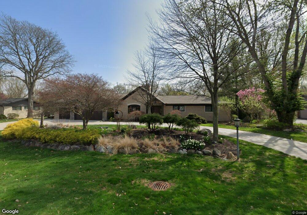
4651 Burnley Dr Bloomfield Hills, MI 48304
Estimated Value: $1,130,000 - $1,685,000
5
Beds
7
Baths
4,441
Sq Ft
$300/Sq Ft
Est. Value
About This Home
This home is located at 4651 Burnley Dr, Bloomfield Hills, MI 48304 and is currently estimated at $1,333,411, approximately $300 per square foot. 4651 Burnley Dr is a home located in Oakland County with nearby schools including Harlan Elementary School, Ernest W. Seaholm High School, and Academy of Sacred Heart.
Ownership History
Date
Name
Owned For
Owner Type
Purchase Details
Closed on
Jun 2, 2016
Sold by
Marinelli Rozann D
Bought by
Improta Mark and Improta Danielle R
Current Estimated Value
Home Financials for this Owner
Home Financials are based on the most recent Mortgage that was taken out on this home.
Original Mortgage
$372,450
Outstanding Balance
$296,622
Interest Rate
3.59%
Mortgage Type
New Conventional
Estimated Equity
$1,036,789
Create a Home Valuation Report for This Property
The Home Valuation Report is an in-depth analysis detailing your home's value as well as a comparison with similar homes in the area
Home Values in the Area
Average Home Value in this Area
Purchase History
| Date | Buyer | Sale Price | Title Company |
|---|---|---|---|
| Improta Mark | $496,000 | Equity National Title |
Source: Public Records
Mortgage History
| Date | Status | Borrower | Loan Amount |
|---|---|---|---|
| Open | Improta Mark | $372,450 |
Source: Public Records
Tax History Compared to Growth
Tax History
| Year | Tax Paid | Tax Assessment Tax Assessment Total Assessment is a certain percentage of the fair market value that is determined by local assessors to be the total taxable value of land and additions on the property. | Land | Improvement |
|---|---|---|---|---|
| 2024 | $11,577 | $668,010 | $0 | $0 |
| 2023 | $11,110 | $613,640 | $0 | $0 |
| 2022 | $18,807 | $586,740 | $0 | $0 |
| 2021 | $18,963 | $533,910 | $0 | $0 |
| 2020 | $13,290 | $485,490 | $0 | $0 |
| 2019 | $14,187 | $284,860 | $0 | $0 |
| 2018 | $12,294 | $245,340 | $0 | $0 |
| 2017 | $12,123 | $236,680 | $0 | $0 |
| 2016 | $6,383 | $223,360 | $0 | $0 |
| 2015 | -- | $209,670 | $0 | $0 |
| 2014 | -- | $187,020 | $0 | $0 |
| 2011 | -- | $139,280 | $0 | $0 |
Source: Public Records
Map
Nearby Homes
- 4731 Haddington Dr
- 2991 Lanergan Dr
- 2840 Bolingbroke Dr
- 4389 Charing Way
- 2650 Binbrooke Dr
- 4890 Charing Cross Rd
- 0000 Brookdale Rd
- 4144 Rouge Circle Dr
- 433 Whippers In Ct
- 796 Rock Spring Rd
- 3826 Lakecrest Dr
- 2611 Tarragona Way
- 1048 Satterlee Rd
- 170 Kirkwood Ct
- 5554 Pine Brooke Ct
- 1330 Oxford Rd
- 1333 N Adams Rd
- 654 Shepardbush St
- 680 Shepardbush St
- 33 Boulder Ln Unit 2
- 4631 Burnley Dr
- 4660 Burnley Dr
- 4640 Burnley Dr
- 4691 Burnley Dr
- 4611 Burnley Dr
- 4680 Burnley Dr
- 4600 Kirkcaldy Rd
- 4688 Haddington Ln
- 4691 Haddington Ln
- 759 Robinhood Cir
- 4730 Tullamore Dr
- 751 Robinhood Cir
- 4711 Burnley Dr
- 4578 Kirkcaldy Rd
- 4595 Burnley Dr
- 581 Yorkton Ln
- 4711 Haddington Ln
- 4694 Burnley Dr
- 743 Robinhood Cir
- 767 Robinhood Cir