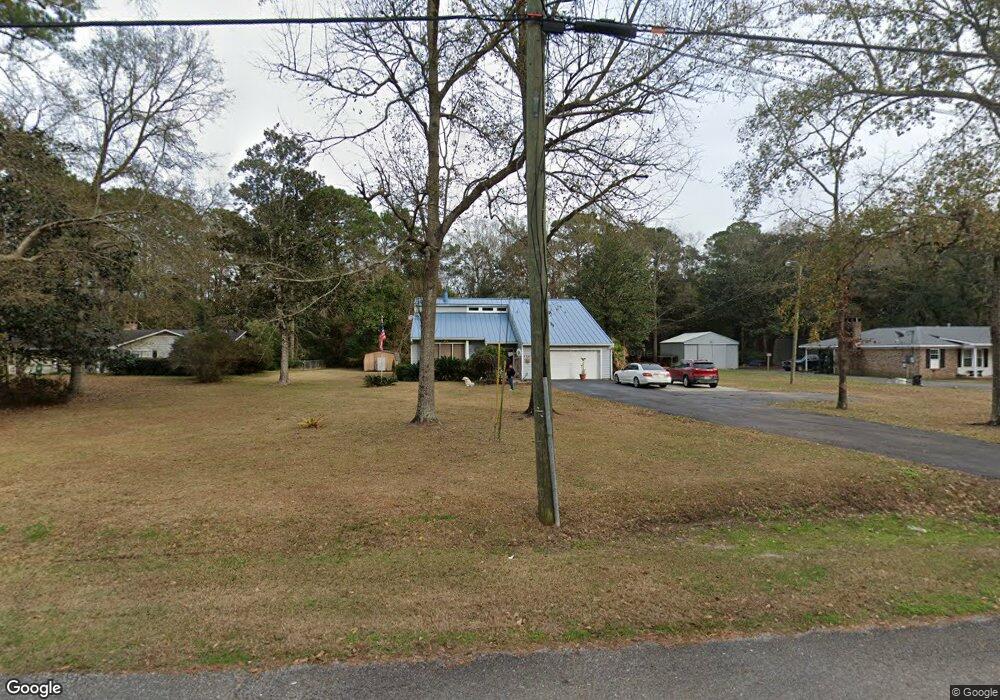
4653 Benson Rd Mobile, AL 36619
Cypress Shores NeighborhoodEstimated Value: $222,114 - $245,000
3
Beds
3
Baths
1,926
Sq Ft
$120/Sq Ft
Est. Value
About This Home
This home is located at 4653 Benson Rd, Mobile, AL 36619 and is currently estimated at $231,029, approximately $119 per square foot. 4653 Benson Rd is a home located in Mobile County with nearby schools including Mary W Burroughs Elementary School, Katherine H Hankins Middle School, and Theodore High School.
Ownership History
Date
Name
Owned For
Owner Type
Purchase Details
Closed on
Jan 31, 2003
Sold by
Cramer Harold James and Cramer Virginia Kent
Bought by
Jensen Garth D and Jensen Paula J
Current Estimated Value
Home Financials for this Owner
Home Financials are based on the most recent Mortgage that was taken out on this home.
Original Mortgage
$118,000
Outstanding Balance
$49,170
Interest Rate
5.95%
Mortgage Type
Seller Take Back
Estimated Equity
$181,859
Create a Home Valuation Report for This Property
The Home Valuation Report is an in-depth analysis detailing your home's value as well as a comparison with similar homes in the area
Home Values in the Area
Average Home Value in this Area
Purchase History
| Date | Buyer | Sale Price | Title Company |
|---|---|---|---|
| Jensen Garth D | $118,000 | -- |
Source: Public Records
Mortgage History
| Date | Status | Borrower | Loan Amount |
|---|---|---|---|
| Open | Jensen Garth D | $118,000 |
Source: Public Records
Tax History
| Year | Tax Paid | Tax Assessment Tax Assessment Total Assessment is a certain percentage of the fair market value that is determined by local assessors to be the total taxable value of land and additions on the property. | Land | Improvement |
|---|---|---|---|---|
| 2025 | $1,000 | $16,630 | $2,500 | $14,130 |
| 2024 | $1,000 | $15,910 | $2,400 | $13,510 |
| 2023 | $954 | $13,860 | $2,900 | $10,960 |
| 2022 | $818 | $13,910 | $2,950 | $10,960 |
| 2021 | $789 | $13,460 | $2,500 | $10,960 |
| 2020 | $789 | $13,460 | $2,500 | $10,960 |
| 2019 | $785 | $13,400 | $1,600 | $11,800 |
| 2018 | $785 | $13,420 | $0 | $0 |
| 2017 | $794 | $13,560 | $0 | $0 |
| 2016 | $805 | $13,740 | $0 | $0 |
| 2013 | $684 | $11,680 | $0 | $0 |
Source: Public Records
Map
Nearby Homes
- 3923 Patricia Dr
- 4087 Canal Cir E
- 0 Audubon Dr Unit 7716268
- 4219 Canal Dr
- 3914 Blue Gill Cir
- 5001 Audubon Dr
- 4301 Sawyer Ave
- 3865 Cypress Shores Dr N
- 3531 Spanish Aly
- 0 Downey Dr Unit 7684534
- 4323 Downey Dr
- 3847 Riviere Du Chien Rd
- 3720 Rabbit Creek Ct
- 3765 Rabbit Creek Ct
- 4082 Dawson Dr
- 5424 Henning Dr W
- 0 Rabbit Creek Dr E Unit 7659147
- 0 Rabbit Creek Dr E Unit 7270001
- 3921 Saint Andrews Dr E
- 3921 St Andrews Dr E
Your Personal Tour Guide
Ask me questions while you tour the home.