4653 Pot Hole Ln Stanfield, NC 28163
Estimated Value: $378,000 - $403,703
3
Beds
2
Baths
1,676
Sq Ft
$233/Sq Ft
Est. Value
About This Home
This home is located at 4653 Pot Hole Ln, Stanfield, NC 28163 and is currently estimated at $391,234, approximately $233 per square foot. 4653 Pot Hole Ln is a home located in Stanly County with nearby schools including Stanfield Elementary School, West Stanly Middle School, and West Stanly High School.
Ownership History
Date
Name
Owned For
Owner Type
Purchase Details
Closed on
Sep 27, 2023
Sold by
Alvear Lara Simon and Soto Maria
Bought by
Alvear Lara Bolivar and Perea Vera Reyna
Current Estimated Value
Purchase Details
Closed on
Feb 25, 2013
Sold by
Secretary Of Housing & Urban Development
Bought by
Lara Simon Alvear
Purchase Details
Closed on
Aug 6, 2012
Sold by
Jpmorgan Chase Bank National Association
Bought by
Secretary Of Housing & Urban Development
Purchase Details
Closed on
Jul 24, 2012
Sold by
Starnes Charles R and Starnes Marie L
Bought by
Jpmorgan Chase Bank National Association
Create a Home Valuation Report for This Property
The Home Valuation Report is an in-depth analysis detailing your home's value as well as a comparison with similar homes in the area
Home Values in the Area
Average Home Value in this Area
Purchase History
| Date | Buyer | Sale Price | Title Company |
|---|---|---|---|
| Alvear Lara Bolivar | -- | None Listed On Document | |
| Alvear Lara Bolivar | -- | None Listed On Document | |
| Lara Simon Alvear | -- | None Available | |
| Secretary Of Housing & Urban Development | -- | None Available | |
| Jpmorgan Chase Bank National Association | $46,400 | None Available |
Source: Public Records
Tax History Compared to Growth
Tax History
| Year | Tax Paid | Tax Assessment Tax Assessment Total Assessment is a certain percentage of the fair market value that is determined by local assessors to be the total taxable value of land and additions on the property. | Land | Improvement |
|---|---|---|---|---|
| 2025 | $1,798 | $285,471 | $89,400 | $196,071 |
| 2024 | $1,524 | $208,711 | $56,100 | $152,611 |
| 2023 | $2,141 | $293,321 | $112,262 | $181,059 |
| 2022 | $2,112 | $293,321 | $112,262 | $181,059 |
| 2021 | $2,083 | $293,321 | $112,262 | $181,059 |
| 2020 | $1,665 | $218,434 | $86,875 | $131,559 |
| 2019 | $1,682 | $218,434 | $86,875 | $131,559 |
| 2018 | $1,682 | $218,434 | $86,875 | $131,559 |
| 2017 | $806 | $104,717 | $73,875 | $30,842 |
| 2016 | $774 | $100,518 | $70,137 | $30,381 |
| 2015 | $837 | $100,518 | $70,137 | $30,381 |
| 2014 | $1,007 | $87,583 | $70,137 | $17,446 |
Source: Public Records
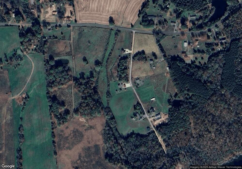
Map
Nearby Homes
- Tract B Rock Hole Rd
- Tract A Rock Hole Rd
- 6615 Love Mill Rd
- 7218 Alexander Farm Rd
- 9326 Old Ferry Rd
- 3436 Greene Rd
- 3428 Greene Rd
- 8304 Renee Ford Rd
- 5612 Love Mill Rd Unit 1
- 2212 Biggers Cemetery Rd
- 331 Polk Ford Rd
- 10024 Sedgefield Cir
- 5409 Love Mill Rd
- 4790 Polk Ford Rd
- 6812 Sugar and Wine Rd
- 7153 Strawberry Ln
- 6746 Edwards Farm Ln
- 4152 River Rd Unit A
- 4152 River Rd Unit B & C
- 12613 Oak Grove Rd
- 4652 Pot Hole Ln
- 4617 Pot Hole Ln
- 8608 Rock Hole Rd
- 4616 Pot Hole Ln
- 8619 Rock Hole Rd
- 8515 Rock Hole Rd
- 8654 Rock Hole Rd
- 8639 Rock Hole Rd
- 8498 Rock Hole Rd
- 8653 Rock Hole Rd
- 8501 Rock Hole Rd
- 8474 Rock Hole Rd
- 4569 Pot Hole Ln
- 4545 Pot Hole Ln
- 8672 Rock Hole Rd
- 8457 Rock Hole Rd
- 8754 Rock Hole Rd
- 8479 Rock Hole Rd
- 8432A Rock Hole Rd
- 8432 Rock Hole Rd