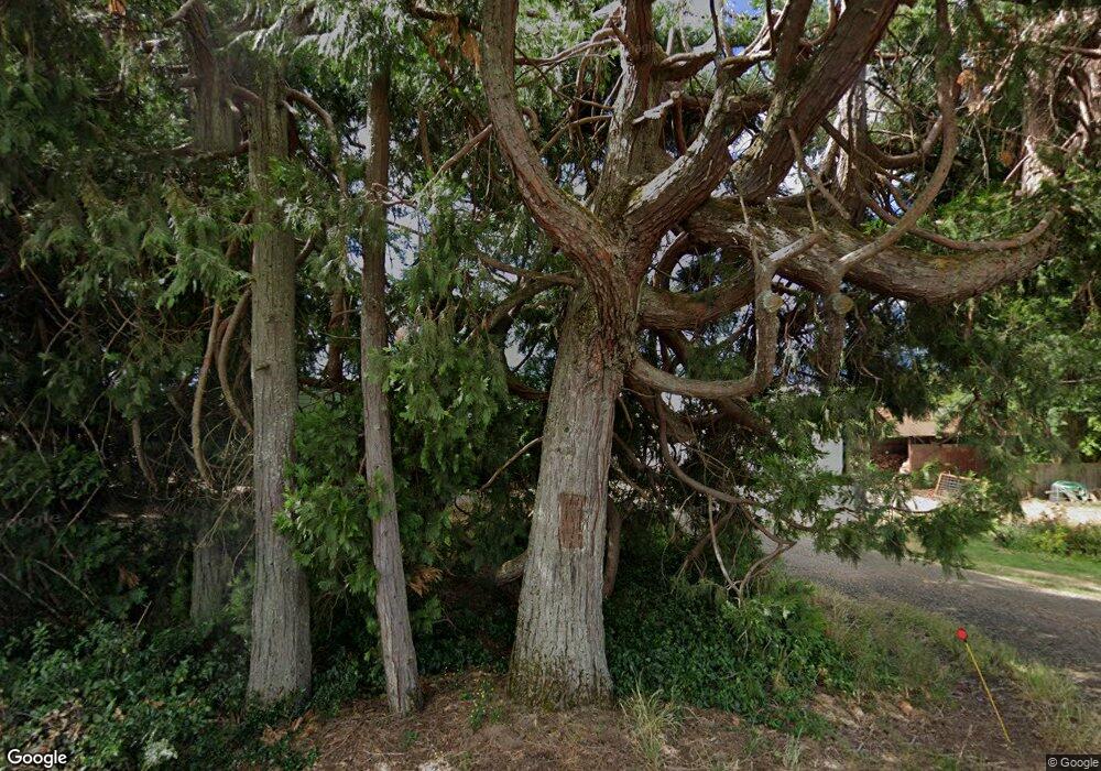
46530 NW Strohmayer Rd Forest Grove, OR 97116
Estimated Value: $627,546 - $723,000
3
Beds
1
Bath
1,616
Sq Ft
$418/Sq Ft
Est. Value
About This Home
This home is located at 46530 NW Strohmayer Rd, Forest Grove, OR 97116 and is currently estimated at $675,273, approximately $417 per square foot. 46530 NW Strohmayer Rd is a home located in Washington County with nearby schools including Banks Elementary School, Banks Middle School, and Banks High School.
Ownership History
Date
Name
Owned For
Owner Type
Purchase Details
Closed on
Jul 16, 2014
Sold by
Vandehey Douglas Edward
Bought by
Anunsen Sarah D and Anunsen Michael R
Current Estimated Value
Home Financials for this Owner
Home Financials are based on the most recent Mortgage that was taken out on this home.
Original Mortgage
$351,024
Outstanding Balance
$269,760
Interest Rate
4.4%
Mortgage Type
FHA
Estimated Equity
$405,513
Create a Home Valuation Report for This Property
The Home Valuation Report is an in-depth analysis detailing your home's value as well as a comparison with similar homes in the area
Home Values in the Area
Average Home Value in this Area
Purchase History
| Date | Buyer | Sale Price | Title Company |
|---|---|---|---|
| Anunsen Sarah D | $357,500 | First American |
Source: Public Records
Mortgage History
| Date | Status | Borrower | Loan Amount |
|---|---|---|---|
| Open | Anunsen Sarah D | $351,024 |
Source: Public Records
Tax History Compared to Growth
Tax History
| Year | Tax Paid | Tax Assessment Tax Assessment Total Assessment is a certain percentage of the fair market value that is determined by local assessors to be the total taxable value of land and additions on the property. | Land | Improvement |
|---|---|---|---|---|
| 2025 | $2,754 | $214,260 | -- | -- |
| 2024 | $2,430 | $208,020 | -- | -- |
| 2023 | $2,430 | $201,970 | $0 | $0 |
| 2022 | $2,369 | $201,970 | $0 | $0 |
| 2021 | $2,305 | $190,380 | $0 | $0 |
| 2020 | $2,235 | $184,840 | $0 | $0 |
| 2019 | $2,199 | $179,460 | $0 | $0 |
| 2018 | $2,138 | $174,240 | $0 | $0 |
| 2017 | $2,063 | $169,170 | $0 | $0 |
| 2016 | $2,034 | $164,250 | $0 | $0 |
| 2015 | $1,942 | $159,470 | $0 | $0 |
| 2014 | $1,916 | $154,830 | $0 | $0 |
Source: Public Records
Map
Nearby Homes
- 48025 NW Strohmayer Rd
- 11635 NW Seavey Rd
- 11911 NW Seavey Rd
- 43300 NW Cedar Canyon Rd
- 0 NW Star St
- 0 Tbd Nw Star St Unit LotWP001
- 13283 NW Main St
- 42098 NW Broadshire Ln
- 42015 NW Buckshire St
- 42028 NW Barton Ct
- 42276 NW Woodman Ave
- 12554 NW Maplecrest Way
- 42371 NW Banks Rd
- 42280 NW Banks Rd
- 41710 NW Oak Way
- 12874 NW Maplecrest Way
- 12838 NW Maplecrest Way
- 41653 NW Oak Way
- 42200 NW Banks Rd
- 45868 NW Hillside Rd
- 46925 NW Strohmayer Rd Unit 1
- 46925 NW Strohmayer Rd
- 46740 NW Strohmayer Rd
- 12440 NW Stafford Rd
- 0 NW Stafford Rd
- 47500 NW Strohmayer Rd
- 47514 NW Strohmayer Rd
- 45690 NW Strohmayer Rd
- 12045 NW Hartmann Dr
- 45600 NW Greenville Rd
- 46303 NW Clapshaw Hill Rd
- 46860 NW Clapshaw Hill Rd
- 12225 NW Hartmann Dr
- 45809 NW Clapshaw Hill Rd
- 12455 NW Hartmann Dr
- 10162 NW Kansas City Rd
- 12460 NW Hartmann Dr
- 9865 NW Kansas City Rd
- 12480 NW Hartmann Dr
- 10880 NW Seavey Rd
