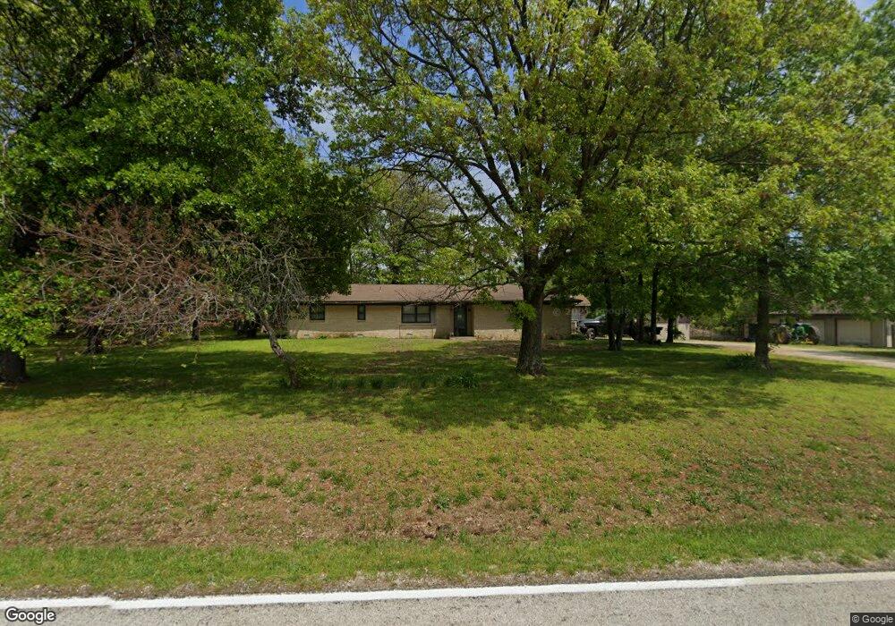
4654 N State Highway Uu Ash Grove, MO 65604
West Springfield NeighborhoodEstimated Value: $318,614 - $382,000
3
Beds
2
Baths
1,464
Sq Ft
$235/Sq Ft
Est. Value
About This Home
This home is located at 4654 N State Highway Uu, Ash Grove, MO 65604 and is currently estimated at $344,538, approximately $235 per square foot. 4654 N State Highway Uu is a home located in Greene County with nearby schools including Willard North Elementary School, Willard Intermediate School North, and Willard High School.
Ownership History
Date
Name
Owned For
Owner Type
Purchase Details
Closed on
Jul 10, 2025
Sold by
Dawson Rodney and Dawson Melissa
Bought by
Dawson Family Trust and Dawson
Current Estimated Value
Purchase Details
Closed on
Jan 8, 2024
Sold by
Fritter Gregg and Fritter Janet
Bought by
Dawson Rodney and Dawson Melissa
Home Financials for this Owner
Home Financials are based on the most recent Mortgage that was taken out on this home.
Original Mortgage
$999
Interest Rate
6%
Mortgage Type
Seller Take Back
Create a Home Valuation Report for This Property
The Home Valuation Report is an in-depth analysis detailing your home's value as well as a comparison with similar homes in the area
Home Values in the Area
Average Home Value in this Area
Purchase History
| Date | Buyer | Sale Price | Title Company |
|---|---|---|---|
| Dawson Family Trust | -- | None Listed On Document | |
| Dawson Family Trust | -- | None Listed On Document | |
| Dawson Rodney | -- | None Listed On Document |
Source: Public Records
Mortgage History
| Date | Status | Borrower | Loan Amount |
|---|---|---|---|
| Previous Owner | Dawson Rodney | $999 |
Source: Public Records
Tax History Compared to Growth
Tax History
| Year | Tax Paid | Tax Assessment Tax Assessment Total Assessment is a certain percentage of the fair market value that is determined by local assessors to be the total taxable value of land and additions on the property. | Land | Improvement |
|---|---|---|---|---|
| 2025 | $1,413 | $29,670 | $9,620 | $20,050 |
| 2024 | $1,413 | $26,690 | $7,720 | $18,970 |
| 2023 | $1,408 | $26,690 | $7,720 | $18,970 |
| 2022 | $1,355 | $25,540 | $7,720 | $17,820 |
| 2021 | $1,356 | $25,540 | $7,720 | $17,820 |
| 2020 | $1,309 | $24,320 | $7,720 | $16,600 |
| 2019 | $1,305 | $24,320 | $7,720 | $16,600 |
| 2018 | $1,188 | $22,580 | $7,730 | $14,850 |
| 2017 | $1,178 | $22,000 | $7,730 | $14,270 |
| 2016 | $1,142 | $22,000 | $7,730 | $14,270 |
| 2015 | $1,134 | $22,000 | $7,730 | $14,270 |
| 2014 | $1,105 | $21,280 | $7,720 | $13,560 |
Source: Public Records
Map
Nearby Homes
- 000 N State Highway Uu
- 5303 N Farm Road 75
- 9215 W Farm Road 94
- Tract F N Farm Road 61
- Tract B N Farm Road 61
- 000 W Farm Road 94 Tract 9
- 000 W Farm Road 94 Tract 10
- 9119 W Farm Road 76
- 3773 N Farm Road 71
- 000 N Farm Road 71
- 000 W
- 000 W Farm Rd 94 Tract 11
- Lot 6 N Farm Road 61
- 000 W Farm Road 94 Tract 1
- 000 W Placer Ln
- 11465 W Farm Rd 76 Tract 5
- 8467 W Placer Ln
- Lot 2 N Farm Road 61
- Lot 1 N Farm Road 61
- 7906 W Farm Road 94
- 4610 N State Highway Uu
- 4712 N State Highway Uu
- 4542 N State Highway Uu
- 4610 N State Highway Uu
- 4370 N State Highway Uu
- 4370 N State Highway Uu
- 9971 W Farm Road 94
- 10043 W Farm Road 94
- 10048 W Farm Road 94
- 9844 W Farm Road 94
- 5246 N State Highway Uu
- 94 Farmer Rd
- 9652 W Farm Road 94
- 5171 N Rockbridge Ln
- 71 Farmer Rd
- 4086 N Farm Road 71
- 9626 W Farm Road 94
- 9875 W Farm Road 84
- 4072 N Farm Road 71
- 4060 N Farm Road 71