46551 64th Ave Lawrence, MI 49064
Estimated Value: $302,000 - $446,000
4
Beds
2
Baths
--
Sq Ft
29.08
Acres
About This Home
This home is located at 46551 64th Ave, Lawrence, MI 49064 and is currently estimated at $392,249. 46551 64th Ave is a home located in Van Buren County with nearby schools including Lawrence Elementary School and Lawrence Junior/Senior High School.
Ownership History
Date
Name
Owned For
Owner Type
Purchase Details
Closed on
May 20, 2008
Sold by
Scholten Arthur and Scholten Lynn
Bought by
Scholten Lynn
Current Estimated Value
Home Financials for this Owner
Home Financials are based on the most recent Mortgage that was taken out on this home.
Original Mortgage
$235,000
Outstanding Balance
$149,213
Interest Rate
5.93%
Mortgage Type
Stand Alone Refi Refinance Of Original Loan
Estimated Equity
$243,036
Purchase Details
Closed on
Mar 19, 2004
Sold by
Goss Marilynn R and Goss Marilynn
Bought by
Scholten Arthur and Scholten Lynn
Create a Home Valuation Report for This Property
The Home Valuation Report is an in-depth analysis detailing your home's value as well as a comparison with similar homes in the area
Home Values in the Area
Average Home Value in this Area
Purchase History
| Date | Buyer | Sale Price | Title Company |
|---|---|---|---|
| Scholten Lynn | -- | Nationallink | |
| Scholten Arthur | $5,000 | -- |
Source: Public Records
Mortgage History
| Date | Status | Borrower | Loan Amount |
|---|---|---|---|
| Open | Scholten Lynn | $235,000 |
Source: Public Records
Tax History Compared to Growth
Tax History
| Year | Tax Paid | Tax Assessment Tax Assessment Total Assessment is a certain percentage of the fair market value that is determined by local assessors to be the total taxable value of land and additions on the property. | Land | Improvement |
|---|---|---|---|---|
| 2025 | $4,881 | $209,500 | $0 | $0 |
| 2024 | $1,448 | $201,200 | $0 | $0 |
| 2023 | $1,379 | $171,700 | $0 | $0 |
| 2022 | $6,531 | $159,800 | $0 | $0 |
| 2021 | $6,259 | $135,100 | $55,300 | $79,800 |
| 2020 | $5,963 | $135,100 | $55,300 | $79,800 |
| 2019 | $5,853 | $134,200 | $134,200 | $0 |
| 2018 | $5,764 | $138,600 | $138,600 | $0 |
| 2017 | $3,650 | $117,700 | $0 | $0 |
| 2016 | $3,625 | $128,700 | $0 | $0 |
| 2015 | $3,289 | $128,700 | $0 | $0 |
| 2014 | $3,259 | $108,600 | $0 | $0 |
| 2013 | -- | $117,400 | $117,400 | $0 |
Source: Public Records
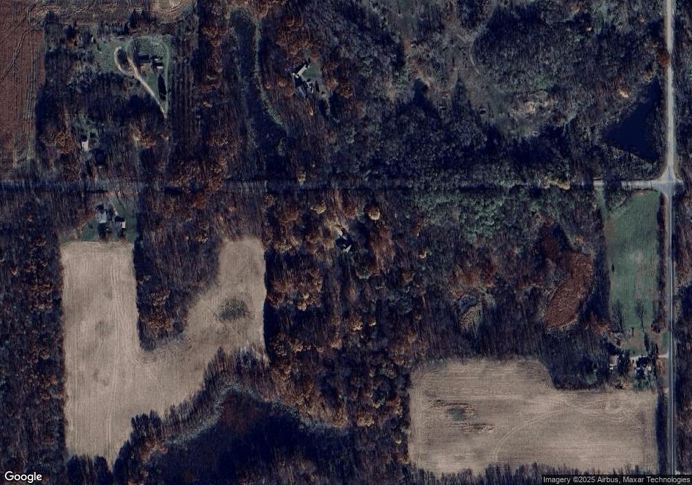
Map
Nearby Homes
- 60846 N Lakeshore Dr
- Parcel A Territorial Rd
- 44850 Woodman Dr
- 58797 Territorial Rd
- 66598 Territorial Rd
- 43618 Carla Dr
- 0 Palmer Dr
- 0 70th Ave
- 58356 Cr 671
- 44702 B 56th Ave
- 41758 N Park St
- 69217 51st St
- 62619 N County Road 365
- 59388 41st St
- 58008 N County Road 365
- 0 Crandall Pkwy Unit 16 24019285
- 0 Crandall Pkwy Unit 6 24019278
- 0 Crandall Pkwy Unit 22 24019310
- 0 Crandall Pkwy Unit 7 24019281
- 0 Crandall Pkwy Unit 8 24019283