4656 E 1250th Rd Earlville, IL 60518
Estimated Value: $175,000 - $257,000
--
Bed
--
Bath
2,047
Sq Ft
$110/Sq Ft
Est. Value
About This Home
This home is located at 4656 E 1250th Rd, Earlville, IL 60518 and is currently estimated at $226,063, approximately $110 per square foot. 4656 E 1250th Rd is a home located in LaSalle County with nearby schools including Earlville Elementary School and Earlville Junior/Senior High School.
Create a Home Valuation Report for This Property
The Home Valuation Report is an in-depth analysis detailing your home's value as well as a comparison with similar homes in the area
Home Values in the Area
Average Home Value in this Area
Tax History Compared to Growth
Tax History
| Year | Tax Paid | Tax Assessment Tax Assessment Total Assessment is a certain percentage of the fair market value that is determined by local assessors to be the total taxable value of land and additions on the property. | Land | Improvement |
|---|---|---|---|---|
| 2024 | $4,170 | $61,959 | $11,813 | $50,146 |
| 2023 | $3,783 | $54,730 | $10,435 | $44,295 |
| 2022 | $3,453 | $49,072 | $9,356 | $39,716 |
| 2021 | $3,494 | $48,233 | $9,196 | $39,037 |
| 2020 | $3,362 | $46,787 | $8,920 | $37,867 |
| 2019 | $3,276 | $44,763 | $8,534 | $36,229 |
| 2018 | $3,054 | $41,549 | $8,207 | $33,342 |
| 2017 | $2,800 | $37,920 | $7,490 | $30,430 |
| 2016 | $2,308 | $31,717 | $3,278 | $28,439 |
| 2015 | $1,098 | $30,389 | $3,141 | $27,248 |
| 2012 | -- | $35,704 | $3,690 | $32,014 |
Source: Public Records
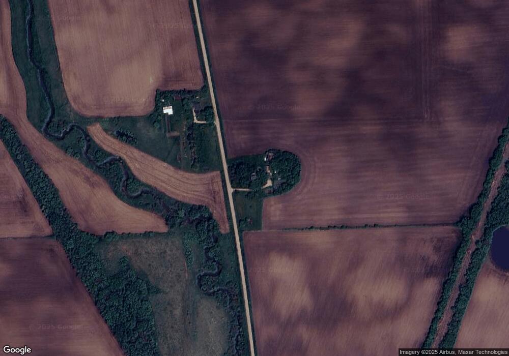
Map
Nearby Homes
- 4708 E 1250th Rd
- 1251 N 47th Rd
- TBD Honeysuckle Rd
- 0 N 47th & E 11th Hwy Unit 6970793
- 8.88AC Route 34 Hwy
- Lot 4 N 1553 Rd
- Tract6 1553 Rd
- Tract1 1553 Rd
- Tract2 1553 Rd
- Tract5 1553 Rd
- Tract3 1553 Rd
- 46 Union St
- 00 Rte 34 & Ottawa St
- 15 Blackthorn Lots St
- 23 acres Main St
- Lot 1380 Rolling Meadows Dr
- 1013 E Us Route 34 Hwy S
- 4613 E 1351st Rd
- 703 N Main St
- 700 N Main St