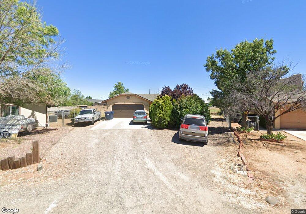
4657 N Miner Ct Unit 1 Prescott Valley, AZ 86314
Estimated Value: $378,000 - $412,000
3
Beds
2
Baths
1,266
Sq Ft
$313/Sq Ft
Est. Value
About This Home
This home is located at 4657 N Miner Ct Unit 1, Prescott Valley, AZ 86314 and is currently estimated at $395,780, approximately $312 per square foot. 4657 N Miner Ct Unit 1 is a home located in Yavapai County with nearby schools including Granville Elementary School, Bradshaw Mountain Middle School, and Bradshaw Mountain High School.
Ownership History
Date
Name
Owned For
Owner Type
Purchase Details
Closed on
Mar 7, 2017
Sold by
Mcelwee Travis and Mcelwee Travis
Bought by
Villagran Juan C and Villagran Donna J
Current Estimated Value
Home Financials for this Owner
Home Financials are based on the most recent Mortgage that was taken out on this home.
Original Mortgage
$199,323
Outstanding Balance
$167,884
Interest Rate
4.75%
Mortgage Type
FHA
Estimated Equity
$227,896
Purchase Details
Closed on
Feb 15, 2013
Sold by
Mcelwee Allison S
Bought by
Mcelwee Travis
Home Financials for this Owner
Home Financials are based on the most recent Mortgage that was taken out on this home.
Original Mortgage
$185,940
Interest Rate
3.4%
Mortgage Type
FHA
Purchase Details
Closed on
Oct 30, 2007
Sold by
Webber Andrew and Webber Heidi
Bought by
Mcelwee Travis
Home Financials for this Owner
Home Financials are based on the most recent Mortgage that was taken out on this home.
Original Mortgage
$191,000
Interest Rate
6.38%
Mortgage Type
Purchase Money Mortgage
Purchase Details
Closed on
Aug 13, 2003
Sold by
Green Gregg and Green Gregory
Bought by
Rozek A I and Rozek Lavay
Purchase Details
Closed on
May 30, 2003
Sold by
Beaver Warren C and Bates Jimmie L
Bought by
Webber Andrew and Webber Heidi
Home Financials for this Owner
Home Financials are based on the most recent Mortgage that was taken out on this home.
Original Mortgage
$127,450
Interest Rate
5.61%
Mortgage Type
New Conventional
Purchase Details
Closed on
Oct 17, 2001
Sold by
North Sky Development Corp
Bought by
Beaver Warren C and Bates Jimmie L
Home Financials for this Owner
Home Financials are based on the most recent Mortgage that was taken out on this home.
Original Mortgage
$89,360
Interest Rate
5.87%
Mortgage Type
New Conventional
Purchase Details
Closed on
Aug 23, 2001
Sold by
Shannon John E and Shannon Patricia J
Bought by
North Sky Development Corp
Home Financials for this Owner
Home Financials are based on the most recent Mortgage that was taken out on this home.
Original Mortgage
$89,360
Interest Rate
5.87%
Mortgage Type
New Conventional
Purchase Details
Closed on
Oct 29, 1999
Sold by
Shannon John E and Shannon Patricia J
Bought by
Shannon John E and Shannon Patricia J
Purchase Details
Closed on
Mar 28, 1994
Sold by
Weiss Serena
Bought by
Rozek Al and Rozek Lavay
Create a Home Valuation Report for This Property
The Home Valuation Report is an in-depth analysis detailing your home's value as well as a comparison with similar homes in the area
Home Values in the Area
Average Home Value in this Area
Purchase History
| Date | Buyer | Sale Price | Title Company |
|---|---|---|---|
| Villagran Juan C | -- | Yavapai Title | |
| Mcelwee Travis | -- | Driggs Title Agency Inc | |
| Mcelwee Travis | -- | Driggs Title Agency Inc | |
| Mcelwee Travis | $191,000 | Capital Title Agency | |
| Rozek A I | -- | -- | |
| Webber Andrew | $127,500 | First American Title Ins Co | |
| Beaver Warren C | $111,700 | Yavapai Title Agency | |
| North Sky Development Corp | $23,000 | Capital Title Agency Inc | |
| Shannon John E | -- | -- | |
| Rozek Al | -- | -- | |
| Weiss Serena | -- | -- |
Source: Public Records
Mortgage History
| Date | Status | Borrower | Loan Amount |
|---|---|---|---|
| Open | Villagran Juan C | $199,323 | |
| Previous Owner | Mcelwee Travis | $185,940 | |
| Previous Owner | Mcelwee Travis | $191,000 | |
| Previous Owner | Webber Andrew | $127,450 | |
| Previous Owner | Beaver Warren C | $89,360 | |
| Previous Owner | North Sky Development Corp | $87,920 |
Source: Public Records
Tax History Compared to Growth
Tax History
| Year | Tax Paid | Tax Assessment Tax Assessment Total Assessment is a certain percentage of the fair market value that is determined by local assessors to be the total taxable value of land and additions on the property. | Land | Improvement |
|---|---|---|---|---|
| 2026 | $1,320 | $30,884 | -- | -- |
| 2024 | $1,210 | $31,556 | -- | -- |
| 2023 | $1,210 | $26,281 | $4,469 | $21,812 |
| 2022 | $1,190 | $21,269 | $3,080 | $18,189 |
| 2021 | $1,244 | $19,438 | $3,028 | $16,410 |
| 2020 | $1,196 | $0 | $0 | $0 |
| 2019 | $1,181 | $0 | $0 | $0 |
| 2018 | $1,123 | $0 | $0 | $0 |
| 2017 | $1,101 | $0 | $0 | $0 |
| 2016 | $1,063 | $0 | $0 | $0 |
| 2015 | $1,048 | $0 | $0 | $0 |
| 2014 | $253 | $0 | $0 | $0 |
Source: Public Records
Map
Nearby Homes
- 7316 Spouse Dr
- 7869 E Spouse Dr
- 38-A1 N Norman Rd
- 4441 N Tonto Way
- 4881 N Tonto Way
- 3981 N Robert Rd
- 4921 N Miner Rd
- 4500 N Phillip Dr Unit 4
- 4449 N Sauter Dr E
- 4461 N Phillip Dr
- 4895 N Arnold Dr
- 7764 E Cocopah Dr
- 7940 E Loos Dr
- 4801 N Calle Santa Cruz
- 5050 N Saddleback Dr
- 5035 N Robert Rd
- 4395 N Katie Cir W
- 4650 N Calle Santa Cruz
- 8428 E Manley Dr
- 4148 N Jay Ct
- 4657 N Miner Ct
- 4657 N Miner Rd
- 4667 N Miner Rd
- 4667 N Miner Ct Unit 4
- 4667 N Miner Ct
- 4639 N Miner Rd
- 8066 Spouse Dr
- 4640 N Noel Dr
- 4640 N Noel Dr Unit 4
- 4620 N Noel Dr
- 8030 E Spouse Dr Unit B
- 8030 E Spouse Dr
- 4660 N Noel Dr
- 4675 N Miner Rd
- 8464 Spouse Dr
- 8046 Spouse Dr
- 8148 Spouse Dr
- 8364 Spouse Dr
- 971 Spouse Dr
- 8611 Spouse Dr