4659 Nowhere Rd Nicholson, GA 30565
Estimated Value: $305,998 - $389,000
--
Bed
2
Baths
2,660
Sq Ft
$136/Sq Ft
Est. Value
About This Home
This home is located at 4659 Nowhere Rd, Nicholson, GA 30565 and is currently estimated at $362,000, approximately $136 per square foot. 4659 Nowhere Rd is a home located in Madison County with nearby schools including Madison County High School and Athens Christian School.
Ownership History
Date
Name
Owned For
Owner Type
Purchase Details
Closed on
Oct 8, 2015
Sold by
Bellew John G
Bought by
Smith Daniel J and Smith Jessica B
Current Estimated Value
Home Financials for this Owner
Home Financials are based on the most recent Mortgage that was taken out on this home.
Original Mortgage
$128,000
Outstanding Balance
$52,049
Interest Rate
3.94%
Mortgage Type
New Conventional
Estimated Equity
$309,951
Purchase Details
Closed on
Jan 1, 1990
Bought by
Bellew John G and Bellew June
Create a Home Valuation Report for This Property
The Home Valuation Report is an in-depth analysis detailing your home's value as well as a comparison with similar homes in the area
Home Values in the Area
Average Home Value in this Area
Purchase History
| Date | Buyer | Sale Price | Title Company |
|---|---|---|---|
| Smith Daniel J | $160,000 | -- | |
| Bellew John G | -- | -- |
Source: Public Records
Mortgage History
| Date | Status | Borrower | Loan Amount |
|---|---|---|---|
| Open | Smith Daniel J | $128,000 |
Source: Public Records
Tax History Compared to Growth
Tax History
| Year | Tax Paid | Tax Assessment Tax Assessment Total Assessment is a certain percentage of the fair market value that is determined by local assessors to be the total taxable value of land and additions on the property. | Land | Improvement |
|---|---|---|---|---|
| 2024 | $2,624 | $102,808 | $13,218 | $89,590 |
| 2023 | $2,914 | $95,471 | $11,015 | $84,456 |
| 2022 | $2,240 | $83,197 | $7,573 | $75,624 |
| 2021 | $2,016 | $68,037 | $7,573 | $60,464 |
| 2020 | $1,996 | $66,935 | $6,471 | $60,464 |
| 2019 | $1,986 | $65,855 | $6,471 | $59,384 |
| 2018 | $1,934 | $64,010 | $5,920 | $58,090 |
| 2017 | $1,701 | $59,080 | $5,508 | $53,572 |
| 2016 | $1,499 | $52,217 | $5,009 | $47,208 |
| 2015 | $1,442 | $52,217 | $5,009 | $47,208 |
| 2014 | $1,480 | $53,230 | $5,154 | $48,076 |
| 2013 | -- | $53,230 | $5,154 | $48,076 |
Source: Public Records
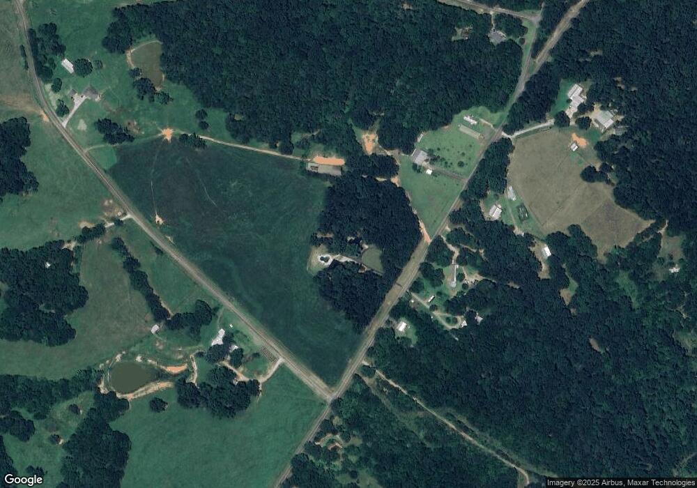
Map
Nearby Homes
- 0 Nowhere Ln Unit 10544151
- 310 Sawdust Rd
- 424 Belhaven Ln
- 425 Bob Holman Rd
- 170 Rocky Dr
- 145 Noketchee Dr
- 3080 Danielsville Rd
- 185 Hemlock Way
- 121 Sweetgum Way
- 1718 Ed Bennett Rd
- 130 Levi Trail
- 2850 Commerce Rd
- 140 Levi Trail
- 8986 Highway 29 S
- 260 Oak Cir
- 185 Berry Dr
- 1771 Leon Ellis Rd
- 1176 Kimberly Cir
- 4659 Nowhere Rd
- 4767 Nowhere Rd
- 4824 Nowhere Rd
- 105 Pleasant Acres Farm Rd
- 4826 Nowhere Rd
- 226 Horace Elnut Cir
- 51 W Briarwood Dr
- 123 W Briarwood Dr
- 25 W Briarwood Dr
- 4822 Nowhere Rd
- 4602 Nowhere Rd
- 0 W Briarwood Dr
- 128 W Briarwood Dr
- 64 W Briarwood Dr
- 36 W Briarwood Dr
- 36 W Briarwood Dr
- 0 Horace Elnut Cir Unit 7439802
- 4969 Nowhere Rd
- 209 W Briarwood Dr
- W W Briarwood Dr