46599 Sauls Rd Callahan, FL 32011
Estimated Value: $474,000 - $746,000
4
Beds
4
Baths
3,581
Sq Ft
$173/Sq Ft
Est. Value
About This Home
This home is located at 46599 Sauls Rd, Callahan, FL 32011 and is currently estimated at $618,675, approximately $172 per square foot. 46599 Sauls Rd is a home with nearby schools including Callahan Elementary School, Callahan Intermediate School, and Callahan Middle School.
Ownership History
Date
Name
Owned For
Owner Type
Purchase Details
Closed on
Nov 22, 2019
Sold by
Stravers William M
Bought by
Cressey Shawn C and Cressey Mollie B
Current Estimated Value
Home Financials for this Owner
Home Financials are based on the most recent Mortgage that was taken out on this home.
Original Mortgage
$230,000
Outstanding Balance
$201,046
Interest Rate
3.5%
Mortgage Type
Commercial
Estimated Equity
$417,629
Purchase Details
Closed on
Apr 13, 2016
Sold by
Red Dirt Ridge Llc
Bought by
Stravers William M
Purchase Details
Closed on
Jul 2, 2013
Sold by
Lsfc Company Llc
Bought by
Red Direct Ridge Llc
Home Financials for this Owner
Home Financials are based on the most recent Mortgage that was taken out on this home.
Original Mortgage
$455,850
Interest Rate
3.59%
Mortgage Type
Balloon
Create a Home Valuation Report for This Property
The Home Valuation Report is an in-depth analysis detailing your home's value as well as a comparison with similar homes in the area
Home Values in the Area
Average Home Value in this Area
Purchase History
| Date | Buyer | Sale Price | Title Company |
|---|---|---|---|
| Cressey Shawn C | $107,500 | Attorney | |
| Stravers William M | $35,000 | Attorney | |
| Red Direct Ridge Llc | $446,700 | Attorney |
Source: Public Records
Mortgage History
| Date | Status | Borrower | Loan Amount |
|---|---|---|---|
| Open | Cressey Shawn C | $230,000 | |
| Previous Owner | Red Direct Ridge Llc | $455,850 |
Source: Public Records
Tax History Compared to Growth
Tax History
| Year | Tax Paid | Tax Assessment Tax Assessment Total Assessment is a certain percentage of the fair market value that is determined by local assessors to be the total taxable value of land and additions on the property. | Land | Improvement |
|---|---|---|---|---|
| 2025 | $7,406 | $522,748 | -- | -- |
| 2024 | $6,812 | $508,016 | -- | -- |
| 2023 | $6,812 | $466,664 | $0 | $0 |
| 2022 | $1,712 | $151,020 | $151,020 | $0 |
| 2021 | $1,320 | $83,900 | $83,900 | $0 |
| 2020 | $1,339 | $83,900 | $83,900 | $0 |
| 2019 | $613 | $40,272 | $40,272 | $0 |
| 2018 | $587 | $40,272 | $0 | $0 |
| 2017 | $457 | $30,204 | $0 | $0 |
| 2016 | $398 | $22,572 | $0 | $0 |
| 2015 | $323 | $20,520 | $0 | $0 |
| 2014 | $324 | $20,520 | $0 | $0 |
Source: Public Records
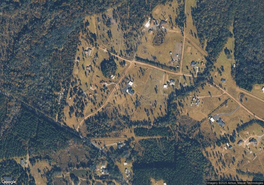
Map
Nearby Homes
- 45606 Musslewhite Rd
- 54515 Wildlife Way
- 54452 Wildlife Way
- 56507 Nassau Oaks Dr
- 0 Eula B Rd
- 56234 Colby Dr
- 45692 Jones Way
- 45700 Jones Way
- 36821 Dyal Rd
- 45101 Blessed Way
- 36039 Pitch Ln
- 35080 Duck Pond Ct
- 45196 American Dream Dr
- 36230 Sugar Ct
- 56406 Creekside Way
- 36012 Pitch Ln
- 0 Holloway Ln Unit 2104572
- 45397 Ingleham Cir
- 56443 Creekside Way
- 0 R Jones Rd Unit MFRO6231511
- 46530 Sauls Rd
- 46522 Sauls Rd
- 46510 Sauls Rd
- 43130 Red Dirt Ridge Trail
- 42150 Mustang Ridge Trail
- 46480 Sauls Rd
- 46613 Sauls Rd
- 46622 Sauls Rd
- 46098 Grumpy Way
- 46627 Sauls Rd
- 46458 Sauls Rd
- 000 Sawtooth Ridge
- 0 Sawtooth Ridge Unit 810006
- 0 Sawtooth Ridge Unit 1154817
- 0 Sawtooth Ridge
- 43282 Red Dirt Ridge Trail
- 46641 Sauls Rd
- 46477 Sauls Rd
- 43279 Red Dirt Ridge Trail
- 43366 Red Dirt Ridge Trail