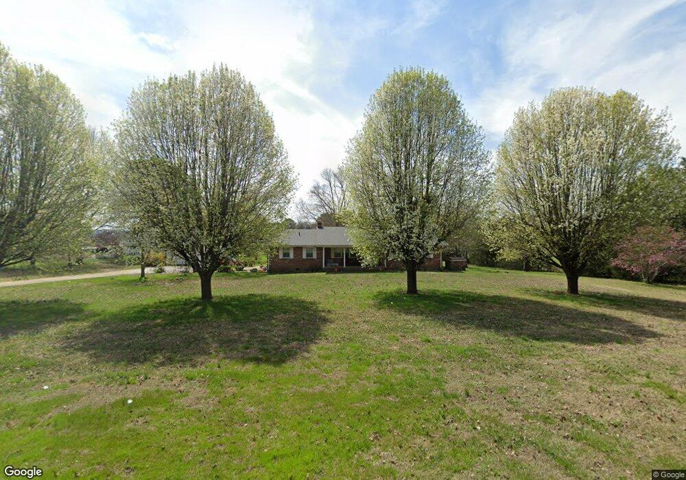
466 Barfield Rd Rock Spring, GA 30739
Rock Spring NeighborhoodEstimated Value: $393,576 - $521,000
--
Bed
2
Baths
2,535
Sq Ft
$177/Sq Ft
Est. Value
About This Home
This home is located at 466 Barfield Rd, Rock Spring, GA 30739 and is currently estimated at $448,644, approximately $176 per square foot. 466 Barfield Rd is a home located in Walker County with nearby schools including Rock Spring Elementary School and Lafayette High School.
Ownership History
Date
Name
Owned For
Owner Type
Purchase Details
Closed on
Jan 16, 2018
Sold by
King Flora Faye
Bought by
King Misty Brooke and King John Phillip
Current Estimated Value
Home Financials for this Owner
Home Financials are based on the most recent Mortgage that was taken out on this home.
Original Mortgage
$198,000
Outstanding Balance
$167,089
Interest Rate
3.94%
Mortgage Type
New Conventional
Estimated Equity
$281,555
Purchase Details
Closed on
Dec 29, 1988
Sold by
Wilson David L and Wilson Sallie
Bought by
King Clyde L and King Flora
Purchase Details
Closed on
Jul 23, 1975
Sold by
Winston Winston M and Winston P
Bought by
Wilson David L and Wilson Sallie
Purchase Details
Closed on
Aug 31, 1971
Bought by
Winston Winston M and Winston P
Create a Home Valuation Report for This Property
The Home Valuation Report is an in-depth analysis detailing your home's value as well as a comparison with similar homes in the area
Home Values in the Area
Average Home Value in this Area
Purchase History
| Date | Buyer | Sale Price | Title Company |
|---|---|---|---|
| King Misty Brooke | $220,000 | -- | |
| King Clyde L | $87,500 | -- | |
| Wilson David L | -- | -- | |
| Winston Winston M | -- | -- |
Source: Public Records
Mortgage History
| Date | Status | Borrower | Loan Amount |
|---|---|---|---|
| Open | King Misty Brooke | $198,000 |
Source: Public Records
Tax History Compared to Growth
Tax History
| Year | Tax Paid | Tax Assessment Tax Assessment Total Assessment is a certain percentage of the fair market value that is determined by local assessors to be the total taxable value of land and additions on the property. | Land | Improvement |
|---|---|---|---|---|
| 2024 | $3,070 | $133,675 | $29,315 | $104,360 |
| 2023 | $2,887 | $122,197 | $23,266 | $98,931 |
| 2022 | $2,826 | $110,720 | $25,548 | $85,172 |
| 2021 | $2,713 | $95,614 | $25,548 | $70,066 |
| 2020 | $2,400 | $80,408 | $25,548 | $54,860 |
| 2019 | $2,442 | $80,408 | $25,548 | $54,860 |
| 2018 | $2,171 | $82,042 | $25,548 | $56,494 |
| 2017 | $469 | $82,558 | $26,064 | $56,494 |
| 2016 | $469 | $82,558 | $26,064 | $56,494 |
| 2015 | $617 | $88,500 | $40,980 | $47,520 |
| 2014 | $1,214 | $88,500 | $40,980 | $47,520 |
| 2013 | $2,185 | $88,499 | $40,980 | $47,519 |
Source: Public Records
Map
Nearby Homes
- 386 Twelve Oaks Dr
- 375 Cooper Rd
- 285 Cooper Rd
- 36 Pheonix Cir
- 59 Honeysuckle Dr
- 195 Honeysuckle Dr
- 788 Long Hollow Rd
- 1902 Long Hollow Rd
- 87 Peavine Rd
- 186 Henry Dr
- 1121 Arnold Rd
- 294 E Long Hollow Rd
- 1476 Arnold Rd
- 379 N Beaumont Rd
- 183 Long Hollow Rd
- 5602 Georgia 95
- 00 Georgia 95
- 0 Cheshire Crossing Dr Unit 1387793
- 1003 Highway N Old 27
- 1370 Old Highway 27
- 693 Cooper Rd
- 620 Cooper Rd
- 765 Cooper Rd
- 285 Barfield Rd
- 304 Barfield Rd
- 783 Cooper Rd
- 524 Cooper Rd
- 257 Barfield Rd
- 312 Twelve Oaks Dr
- 370 Barfield Rd
- 292 Twelve Oaks Dr
- 322 Twelve Oaks Dr
- 207 Barfield Rd
- 751 Cooper Rd
- 00 Barfield Rd
- 735 Cooper Rd
- 274 Twelve Oaks Dr
- 258 Twelve Oaks Dr
- 272 Barfield Rd
- 234 Twelve Oaks Dr