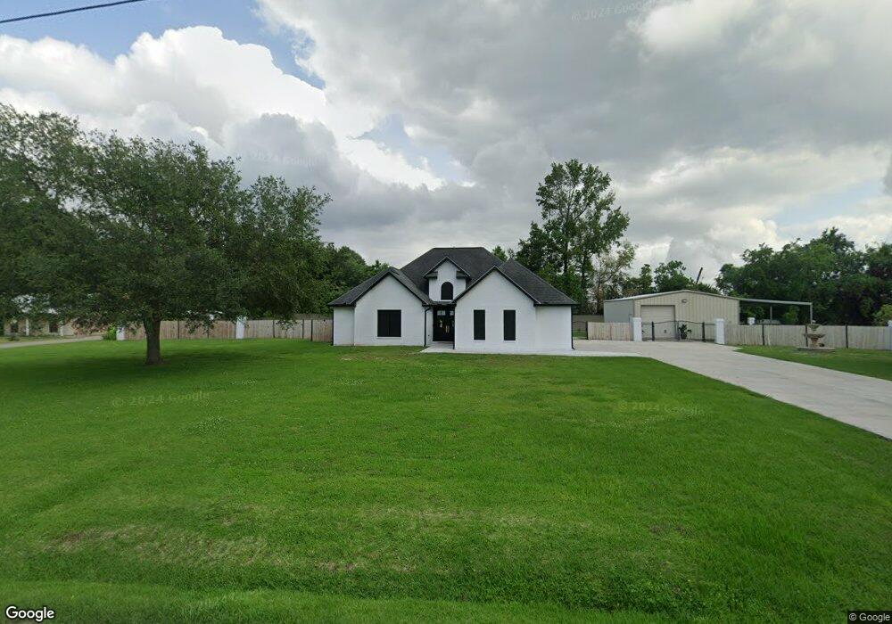
466 Broussard St Breaux Bridge, LA 70517
Estimated Value: $219,000 - $339,803
--
Bed
--
Bath
1,968
Sq Ft
$147/Sq Ft
Est. Value
About This Home
This home is located at 466 Broussard St, Breaux Bridge, LA 70517 and is currently estimated at $290,201, approximately $147 per square foot. 466 Broussard St is a home located in St. Martin Parish with nearby schools including Breaux Bridge Primary School, Breaux Bridge Junior High School, and Breaux Bridge High School.
Ownership History
Date
Name
Owned For
Owner Type
Purchase Details
Closed on
Mar 15, 2007
Sold by
Bourque Nicole Comeaux and Bourque Chad
Bought by
Goulas John N and Goulas Trina Smith
Current Estimated Value
Home Financials for this Owner
Home Financials are based on the most recent Mortgage that was taken out on this home.
Original Mortgage
$200,000
Outstanding Balance
$121,322
Interest Rate
6.3%
Mortgage Type
New Conventional
Estimated Equity
$168,879
Create a Home Valuation Report for This Property
The Home Valuation Report is an in-depth analysis detailing your home's value as well as a comparison with similar homes in the area
Home Values in the Area
Average Home Value in this Area
Purchase History
| Date | Buyer | Sale Price | Title Company |
|---|---|---|---|
| Goulas John N | $255,000 | -- |
Source: Public Records
Mortgage History
| Date | Status | Borrower | Loan Amount |
|---|---|---|---|
| Open | Goulas John N | $200,000 |
Source: Public Records
Tax History Compared to Growth
Tax History
| Year | Tax Paid | Tax Assessment Tax Assessment Total Assessment is a certain percentage of the fair market value that is determined by local assessors to be the total taxable value of land and additions on the property. | Land | Improvement |
|---|---|---|---|---|
| 2024 | $2,766 | $27,470 | $2,360 | $25,110 |
| 2023 | $1,771 | $24,250 | $2,360 | $21,890 |
| 2022 | $1,770 | $24,250 | $2,360 | $21,890 |
| 2021 | $2,517 | $24,250 | $2,360 | $21,890 |
| 2020 | $2,510 | $24,250 | $2,360 | $21,890 |
| 2019 | $1,736 | $23,760 | $2,250 | $21,510 |
| 2018 | $1,715 | $23,760 | $2,250 | $21,510 |
| 2017 | $2,251 | $23,760 | $2,250 | $21,510 |
| 2016 | $2,147 | $26,010 | $4,500 | $21,510 |
| 2015 | $2,454 | $25,640 | $5,000 | $20,640 |
| 2014 | $2,262 | $23,640 | $3,000 | $20,640 |
| 2013 | $2,262 | $25,640 | $5,000 | $20,640 |
Source: Public Records
Map
Nearby Homes
- 1001 Rees St
- 272-280 Rees St
- 2011 Rees St
- 318 Lakewood Ave
- 203 Stillwater Rd
- 243 Bridgewater Place
- 342 Lakewood Ave
- 522 Claude St
- 312 Lakewood Ave
- 219 Bridgewater Place
- Tbd Grand Point
- Lot 3c-7 Clayton Castille Rd
- E Bridge Street Hwy
- 0 Clayton Castille Rd
- 0 Tbd Agnes Dr
- 0 Tbd Grand Pointe Ave
- 126 Greenwood Place
- 120 Greenwood Place
- 480 Nona St
- TBD Louisiana 31
- 471 Broussard St
- 470 Broussard St
- 462 Broussard St
- 469 Broussard St
- 475 Broussard St
- 341 Armentine Cove
- 335 Armentine Cove
- 482 Broussard St
- 465 Broussard St
- 479 Broussard St
- 329 Armentine Cove
- 0 Broussard St
- 458 Broussard St
- 483 Broussard St
- 323 Armentine Cove
- 482 Tauzin St
- 486 Tauzin St
- 0 Armentine Cove Unit 200909239
- 0 Armentine Cove Unit 200909237
- 0 Armentine Cove Unit 200909236