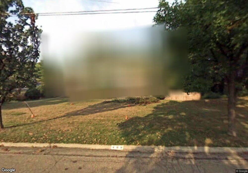
466 Chisholm Trail Cincinnati, OH 45215
Estimated Value: $533,000 - $593,000
4
Beds
3
Baths
2,273
Sq Ft
$245/Sq Ft
Est. Value
About This Home
This home is located at 466 Chisholm Trail, Cincinnati, OH 45215 and is currently estimated at $557,153, approximately $245 per square foot. 466 Chisholm Trail is a home located in Hamilton County with nearby schools including Wyoming High School and John Paul II Catholic School.
Ownership History
Date
Name
Owned For
Owner Type
Purchase Details
Closed on
May 31, 2001
Sold by
Rice Scott C and Rice Kathy
Bought by
Mcrae Ronald E and Mcrae Anne C
Current Estimated Value
Home Financials for this Owner
Home Financials are based on the most recent Mortgage that was taken out on this home.
Original Mortgage
$210,000
Outstanding Balance
$80,227
Interest Rate
7.18%
Estimated Equity
$476,926
Create a Home Valuation Report for This Property
The Home Valuation Report is an in-depth analysis detailing your home's value as well as a comparison with similar homes in the area
Home Values in the Area
Average Home Value in this Area
Purchase History
| Date | Buyer | Sale Price | Title Company |
|---|---|---|---|
| Mcrae Ronald E | $295,000 | Vintage Title Agency Inc |
Source: Public Records
Mortgage History
| Date | Status | Borrower | Loan Amount |
|---|---|---|---|
| Open | Mcrae Ronald E | $210,000 |
Source: Public Records
Tax History Compared to Growth
Tax History
| Year | Tax Paid | Tax Assessment Tax Assessment Total Assessment is a certain percentage of the fair market value that is determined by local assessors to be the total taxable value of land and additions on the property. | Land | Improvement |
|---|---|---|---|---|
| 2024 | $9,379 | $157,903 | $43,834 | $114,069 |
| 2023 | $8,647 | $157,903 | $43,834 | $114,069 |
| 2022 | $7,615 | $115,399 | $31,465 | $83,934 |
| 2021 | $7,790 | $115,399 | $31,465 | $83,934 |
| 2020 | $7,790 | $115,399 | $31,465 | $83,934 |
| 2019 | $7,662 | $104,910 | $28,606 | $76,304 |
| 2018 | $7,665 | $104,910 | $28,606 | $76,304 |
| 2017 | $7,339 | $104,910 | $28,606 | $76,304 |
| 2016 | $6,225 | $102,813 | $28,494 | $74,319 |
| 2015 | $6,298 | $102,813 | $28,494 | $74,319 |
| 2014 | $6,314 | $102,813 | $28,494 | $74,319 |
| 2013 | $5,590 | $87,130 | $24,147 | $62,983 |
Source: Public Records
Map
Nearby Homes
- 513 Chisholm Trail
- 525 Chisholm Trail
- 377 Compton Rd
- 305 Compton Hills Dr
- 271 Poage Farm Rd
- 926 Reily Rd
- 500 Laramie Trail
- 281 Compton Rd
- 204 Brocdorf Dr
- 239 Compton Ridge Dr
- 9197 Long Ln
- 8932 Hollyhock Dr
- 9458 Long Ln
- 253 Compton Rd
- 254 Compton Rd
- 158 Congress Run Rd
- 357 Meadowcrest Rd
- 8816 Falmouth Dr
- 9497 Long Ln
- 1127 Brayton Ave
- 458 Chisholm Trail
- 520 Cody Pass
- 519 Cody Pass
- 467 Chisholm Trail
- 459 Chisholm Trail
- 530 Cody Pass
- 450 Chisholm Trail
- 525 Cody Pass
- 451 Chisholm Trail
- 506 Chisholm Trail
- 442 Chisholm Trail
- 545 Cody Pass
- 443 Chisholm Trail
- 540 Cody Pass
- 507 Chisholm Trail
- 512 Chisholm Trail
- 434 Chisholm Trail
- 435 Chisholm Trail
- 565 Cody Pass
- 550 Laveta Ct