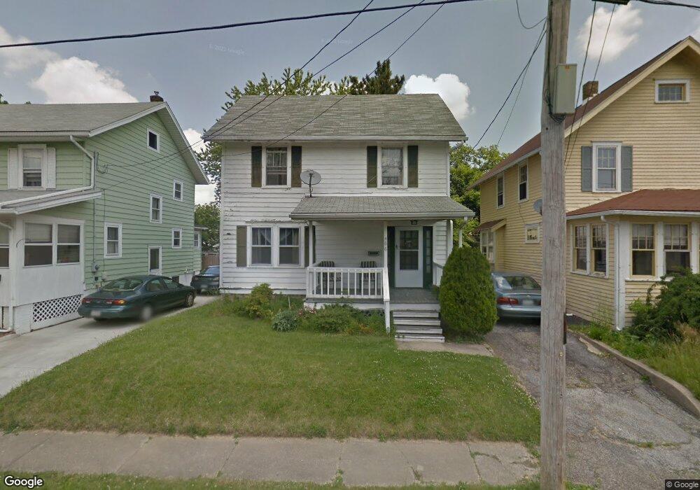
466 Davey Ave Mansfield, OH 44903
Estimated Value: $96,000 - $129,000
3
Beds
1
Bath
1,284
Sq Ft
$88/Sq Ft
Est. Value
About This Home
This home is located at 466 Davey Ave, Mansfield, OH 44903 and is currently estimated at $113,629, approximately $88 per square foot. 466 Davey Ave is a home located in Richland County with nearby schools including Discovery School, St. Peter's Elementary/Montessori School, and St. Peter's Junior High / High School.
Ownership History
Date
Name
Owned For
Owner Type
Purchase Details
Closed on
Aug 3, 1998
Sold by
Pasheilich John M
Bought by
Qorri Nazif and Qorri Vezire
Current Estimated Value
Home Financials for this Owner
Home Financials are based on the most recent Mortgage that was taken out on this home.
Original Mortgage
$59,458
Outstanding Balance
$10,219
Interest Rate
7.03%
Mortgage Type
FHA
Estimated Equity
$103,410
Purchase Details
Closed on
Mar 31, 1998
Sold by
Harkins William D
Bought by
Pasheilich John M and Pasheilich Joyce A
Home Financials for this Owner
Home Financials are based on the most recent Mortgage that was taken out on this home.
Original Mortgage
$49,000
Interest Rate
7.15%
Mortgage Type
New Conventional
Create a Home Valuation Report for This Property
The Home Valuation Report is an in-depth analysis detailing your home's value as well as a comparison with similar homes in the area
Home Values in the Area
Average Home Value in this Area
Purchase History
We collect this data history from publicly available records. To have your information removed, we recommend requesting removal directly through your county’s website.
| Date | Buyer | Sale Price | Title Company |
|---|---|---|---|
| Qorri Nazif | $59,500 | -- | |
| Pasheilich John M | $49,000 | -- |
Source: Public Records
Mortgage History
We collect this data history from publicly available records. To have your information removed, we recommend requesting removal directly through your county’s website.
| Date | Status | Borrower | Loan Amount |
|---|---|---|---|
| Open | Qorri Nazif | $59,458 | |
| Previous Owner | Pasheilich John M | $49,000 |
Source: Public Records
Tax History
| Year | Tax Paid | Tax Assessment Tax Assessment Total Assessment is a certain percentage of the fair market value that is determined by local assessors to be the total taxable value of land and additions on the property. | Land | Improvement |
|---|---|---|---|---|
| 2025 | $1,241 | $27,110 | $2,610 | $24,500 |
| 2024 | $1,241 | $27,110 | $2,610 | $24,500 |
| 2023 | $1,269 | $27,110 | $2,610 | $24,500 |
| 2022 | $1,091 | $19,520 | $2,240 | $17,280 |
| 2021 | $1,098 | $19,520 | $2,240 | $17,280 |
| 2020 | $1,123 | $19,520 | $2,240 | $17,280 |
| 2019 | $1,245 | $19,520 | $2,240 | $17,280 |
| 2018 | $1,228 | $19,520 | $2,240 | $17,280 |
| 2017 | $1,211 | $19,520 | $2,240 | $17,280 |
| 2016 | $1,228 | $19,460 | $3,090 | $16,370 |
| 2015 | $1,173 | $19,460 | $3,090 | $16,370 |
| 2014 | $1,158 | $19,460 | $3,090 | $16,370 |
| 2012 | $464 | $20,480 | $3,250 | $17,230 |
Source: Public Records
Map
Nearby Homes
- 495 Davey Ave
- 575 Maple St
- 81 Bartley Ave
- 527 Forest St
- 116 Stewart Ave S
- 108 Stewart Ave S
- 183 Carpenter Rd
- 51 Lind Ave
- 30 Douglas Ave
- 93 Parkwood Blvd
- 551 Cline Ave
- 42 Parkwood Blvd
- 356 Townview Cir N
- 201 Walter Ave
- 283 Park Ave W
- 143 Fairlawn Ave
- 135 Fairlawn Ave
- 129 Fairlawn Ave
- 458 W West Dickson Ave
- 236 Bowland Rd
- 470 Davey Ave
- 462 Davey Ave
- 472 Davey Ave
- 478 Davey Ave
- 458 Davey Ave
- 469 Glessner Ave
- 482 Davey Ave
- 232 Bartley Ave
- 461 Glessner Ave
- 471 Glessner Ave
- 473 Glessner Ave
- 236 Bartley Ave
- 486 Davey Ave
- 489 Glessner Ave
- 213 Bartley Ave
- 238 Bartley Ave
- 471 Davey Ave
- 491 Glessner Ave
- 221 Bartley Ave
- 445 Glessner Ave
Your Personal Tour Guide
Ask me questions while you tour the home.