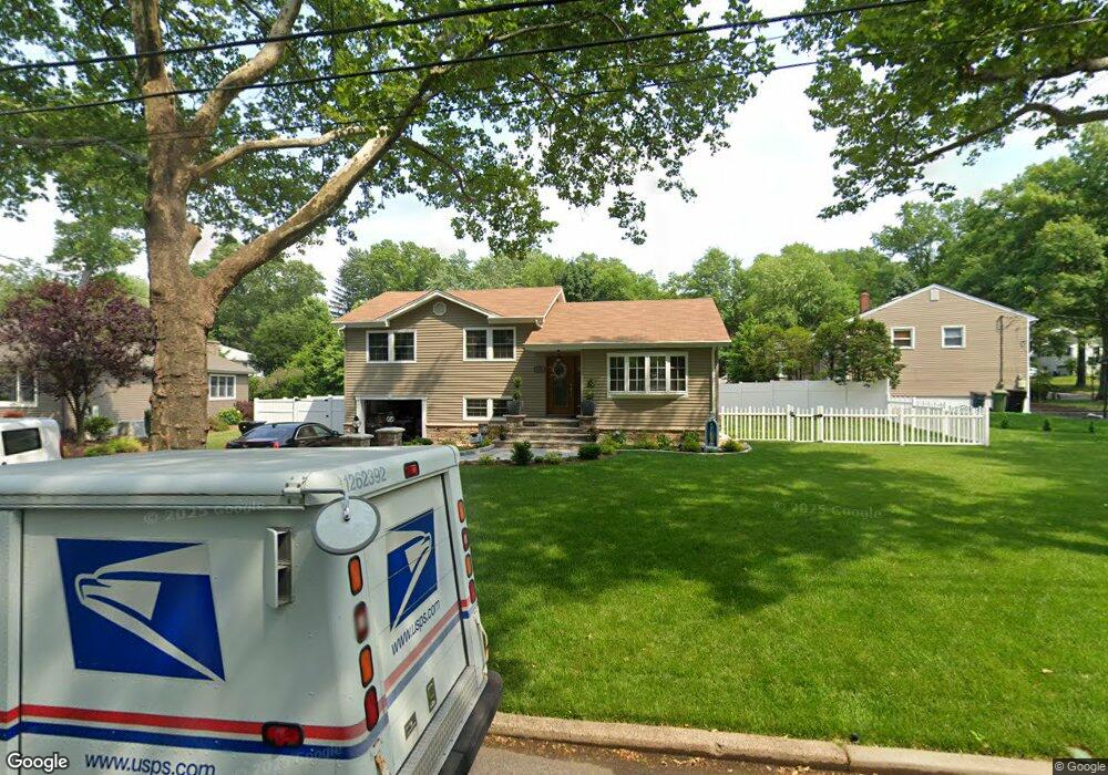
466 Mayfair Rd Paramus, NJ 07652
Estimated Value: $934,691 - $1,052,000
Studio
--
Bath
1,792
Sq Ft
$552/Sq Ft
Est. Value
About This Home
This home is located at 466 Mayfair Rd, Paramus, NJ 07652 and is currently estimated at $988,923, approximately $551 per square foot. 466 Mayfair Rd is a home located in Bergen County with nearby schools including Paramus High School, Alpine Learning Group, and Paramus Catholic High School.
Ownership History
Date
Name
Owned For
Owner Type
Purchase Details
Closed on
Jul 14, 2014
Sold by
Calobrisi Ralph and Calobrisi Tina
Bought by
Zulj Darko and Zulj Nela
Current Estimated Value
Home Financials for this Owner
Home Financials are based on the most recent Mortgage that was taken out on this home.
Original Mortgage
$356,000
Outstanding Balance
$271,369
Interest Rate
4.18%
Mortgage Type
New Conventional
Estimated Equity
$717,554
Create a Home Valuation Report for This Property
The Home Valuation Report is an in-depth analysis detailing your home's value as well as a comparison with similar homes in the area
Home Values in the Area
Average Home Value in this Area
Purchase History
| Date | Buyer | Sale Price | Title Company |
|---|---|---|---|
| Zulj Darko | $445,000 | -- |
Source: Public Records
Mortgage History
| Date | Status | Borrower | Loan Amount |
|---|---|---|---|
| Open | Zulj Darko | $356,000 |
Source: Public Records
Tax History
| Year | Tax Paid | Tax Assessment Tax Assessment Total Assessment is a certain percentage of the fair market value that is determined by local assessors to be the total taxable value of land and additions on the property. | Land | Improvement |
|---|---|---|---|---|
| 2025 | $10,212 | $719,400 | $414,900 | $304,500 |
| 2024 | $9,916 | $674,500 | $384,600 | $289,900 |
| 2023 | $9,408 | $646,400 | $366,900 | $279,500 |
| 2022 | $9,391 | $605,100 | $343,000 | $262,100 |
| 2021 | $8,161 | $553,800 | $312,700 | $241,100 |
| 2020 | $8,623 | $540,600 | $302,700 | $237,900 |
| 2019 | $8,161 | $439,700 | $271,000 | $168,700 |
| 2018 | $8,041 | $438,700 | $271,000 | $167,700 |
| 2017 | $7,901 | $438,700 | $271,000 | $167,700 |
| 2016 | $7,686 | $438,700 | $271,000 | $167,700 |
| 2015 | $7,607 | $409,500 | $271,000 | $138,500 |
| 2014 | $6,789 | $409,500 | $271,000 | $138,500 |
Source: Public Records
Map
Nearby Homes
- 181 Morningside Rd
- 470 Mayfair Rd
- 463 Mayfair Rd
- 177 Morningside Rd
- 475 Cedar Ln
- 467 Mayfair Rd
- 186 Morningside Rd
- 191 Morningside Rd
- 182 Morningside Rd
- 185 Mayfair Rd
- 479 Cedar Ln
- 188 Morningside Rd
- 194 Mayfair Rd
- 178 Morningside Rd
- 220 Midwood Rd
- 192 Morningside Rd
- 189 Mayfair Rd
- 466 Cedar Ln
- 638 Cedar Ln
- 1 Cedar Ln
Your Personal Tour Guide
Ask me questions while you tour the home.