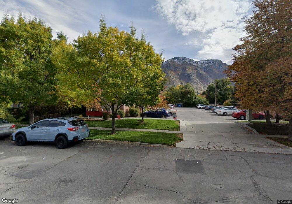
466 N 400 E Provo, UT 84606
Joaquin NeighborhoodEstimated Value: $322,000 - $443,585
4
Beds
2
Baths
1,046
Sq Ft
$381/Sq Ft
Est. Value
About This Home
This home is located at 466 N 400 E, Provo, UT 84606 and is currently estimated at $398,396, approximately $380 per square foot. 466 N 400 E is a home located in Utah County with nearby schools including Provo Peaks School, Centennial Middle School, and Timpview High School.
Ownership History
Date
Name
Owned For
Owner Type
Purchase Details
Closed on
May 23, 2018
Sold by
Crawford Janathan and Crawford Cieri
Bought by
Crawford Jonathan and Crawford Cheri
Current Estimated Value
Purchase Details
Closed on
Apr 19, 2017
Sold by
D & M Enterprise Llc
Bought by
Crawford Jonathan and Crawford Cheri
Purchase Details
Closed on
Jul 24, 2012
Sold by
Lord Michael R and Lord Debra K
Bought by
D & M Enterprises Llc
Purchase Details
Closed on
May 23, 2011
Sold by
D & M Enterprise Llc
Bought by
Lord Michael R and Lord Debra K
Purchase Details
Closed on
Jul 14, 2009
Sold by
Lord Michael R and Lord Debra K
Bought by
D & M Enterprise Llc
Create a Home Valuation Report for This Property
The Home Valuation Report is an in-depth analysis detailing your home's value as well as a comparison with similar homes in the area
Home Values in the Area
Average Home Value in this Area
Purchase History
| Date | Buyer | Sale Price | Title Company |
|---|---|---|---|
| Crawford Jonathan | -- | None Available | |
| Crawford Jonathan | -- | None Available | |
| D & M Enterprises Llc | -- | None Available | |
| Lord Michael R | -- | None Available | |
| D & M Enterprise Llc | -- | None Available |
Source: Public Records
Tax History
| Year | Tax Paid | Tax Assessment Tax Assessment Total Assessment is a certain percentage of the fair market value that is determined by local assessors to be the total taxable value of land and additions on the property. | Land | Improvement |
|---|---|---|---|---|
| 2025 | $2,138 | $230,725 | -- | -- |
| 2024 | $2,138 | $210,430 | $0 | $0 |
| 2023 | $1,899 | $184,250 | $0 | $0 |
| 2022 | $2,138 | $209,165 | $0 | $0 |
| 2021 | $1,797 | $306,700 | $36,800 | $269,900 |
| 2020 | $1,773 | $283,600 | $34,000 | $249,600 |
| 2019 | $1,543 | $256,700 | $29,000 | $227,700 |
| 2018 | $1,409 | $237,700 | $29,000 | $208,700 |
| 2017 | $1,210 | $112,200 | $0 | $0 |
| 2016 | $1,258 | $108,680 | $0 | $0 |
| 2015 | $1,196 | $104,500 | $0 | $0 |
| 2014 | $1,066 | $97,075 | $0 | $0 |
Source: Public Records
Map
Nearby Homes
- 466 N 400 E
- 466 N 400 E
- 466 N 400 E
- 466 N 400 E
- 466 N 400 E
- 466 N 400 E
- 466 N 400 E
- 466 N 400 E
- 466 N 400 E Unit 202
- 466 N 400 E Unit 302
- 466 N 400 E Unit 301
- 466 N 400 E Unit 303
- 466 N 400 E Unit 103
- 466 N 400 E Unit 102
- 466 N 400 E Unit 101
- 466 N 400 E Unit 201
- 466 N 400 E Unit 203
- 442 E 500 N
- 430 E 500 N
- 488 N 400 E
Your Personal Tour Guide
Ask me questions while you tour the home.