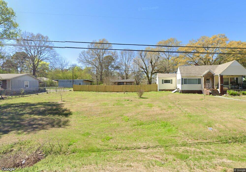
466 N Main St Graysville, AL 35073
Estimated Value: $121,000 - $177,000
3
Beds
2
Baths
1,616
Sq Ft
$91/Sq Ft
Est. Value
About This Home
This home is located at 466 N Main St, Graysville, AL 35073 and is currently estimated at $146,297, approximately $90 per square foot. 466 N Main St is a home with nearby schools including Brookville Elementary School, Minor Middle School, and Minor High School.
Ownership History
Date
Name
Owned For
Owner Type
Purchase Details
Closed on
Jul 29, 2008
Sold by
Perkins Carol Ann and Estate Of Katherin W Yerby
Bought by
Perkins Carol Ann
Current Estimated Value
Purchase Details
Closed on
May 1, 1998
Sold by
Sanford Lester Shawn and Sanford Tracie L
Bought by
Stanford Shane and Stanford Kristy
Home Financials for this Owner
Home Financials are based on the most recent Mortgage that was taken out on this home.
Original Mortgage
$71,250
Outstanding Balance
$13,849
Interest Rate
7.04%
Estimated Equity
$132,448
Create a Home Valuation Report for This Property
The Home Valuation Report is an in-depth analysis detailing your home's value as well as a comparison with similar homes in the area
Home Values in the Area
Average Home Value in this Area
Purchase History
| Date | Buyer | Sale Price | Title Company |
|---|---|---|---|
| Perkins Carol Ann | -- | None Available | |
| Stanford Shane | -- | -- |
Source: Public Records
Mortgage History
| Date | Status | Borrower | Loan Amount |
|---|---|---|---|
| Open | Stanford Shane | $71,250 |
Source: Public Records
Tax History Compared to Growth
Tax History
| Year | Tax Paid | Tax Assessment Tax Assessment Total Assessment is a certain percentage of the fair market value that is determined by local assessors to be the total taxable value of land and additions on the property. | Land | Improvement |
|---|---|---|---|---|
| 2024 | -- | $10,800 | -- | -- |
| 2022 | $0 | $8,540 | $2,660 | $5,880 |
| 2021 | $0 | $8,870 | $2,660 | $6,210 |
| 2020 | $0 | $8,870 | $2,660 | $6,210 |
| 2019 | $0 | $8,880 | $0 | $0 |
| 2018 | $0 | $7,580 | $0 | $0 |
| 2017 | $0 | $7,540 | $0 | $0 |
| 2016 | $0 | $7,540 | $0 | $0 |
| 2015 | -- | $7,540 | $0 | $0 |
| 2014 | $433 | $7,440 | $0 | $0 |
| 2013 | $433 | $7,440 | $0 | $0 |
Source: Public Records
Map
Nearby Homes
- 178 2nd St NW
- 637 Windsor Dr NE
- 64 3rd St NE
- 153 2nd St SE
- 351 11th Ave NE
- 614 8th Ave NE
- 305 12th Ave NE
- 271 7th St NE
- 544 7th Ave SW
- 485 7th Ave SW
- 928 2nd St SE
- 4858 Lynndale Rd
- 451 10th Ave SW
- 1193 7th St SE
- 399 12th Ave SE
- 1533 1st St SE
- 1545 3rd St SE
- 5628 Sanders Ave
- 5453 Robin Cir
- 909 Longview Cir