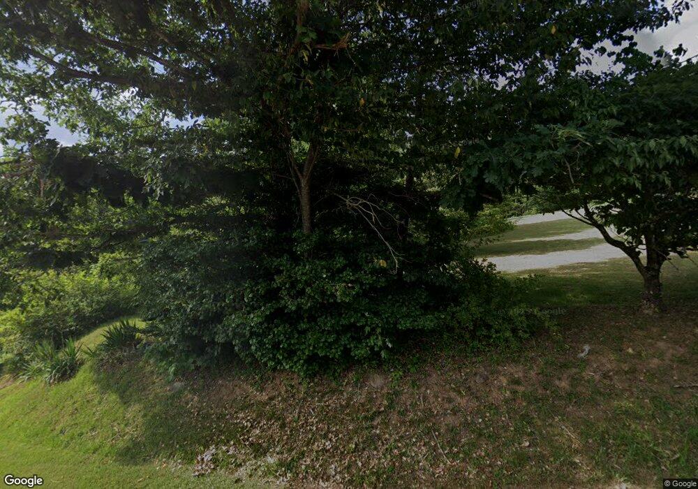
466 Stony Fork Rd Deep Gap, NC 28618
Estimated Value: $356,000 - $423,000
3
Beds
2
Baths
1,576
Sq Ft
$248/Sq Ft
Est. Value
About This Home
This home is located at 466 Stony Fork Rd, Deep Gap, NC 28618 and is currently estimated at $390,779, approximately $247 per square foot. 466 Stony Fork Rd is a home located in Watauga County with nearby schools including Parkway Elementary School and Watauga High School.
Ownership History
Date
Name
Owned For
Owner Type
Purchase Details
Closed on
Jan 5, 2026
Sold by
Norris William Burl and Norris April
Bought by
Hamby Joshua and Hamby Stephanie
Current Estimated Value
Purchase Details
Closed on
Jan 2, 2024
Sold by
Norris William Burl and Norris April
Bought by
Hamby Joshua and Hamby Stephanie
Purchase Details
Closed on
May 18, 2005
Sold by
Triplett Betty N and Norris Betty Greene
Bought by
Norris William Burl
Create a Home Valuation Report for This Property
The Home Valuation Report is an in-depth analysis detailing your home's value as well as a comparison with similar homes in the area
Home Values in the Area
Average Home Value in this Area
Purchase History
| Date | Buyer | Sale Price | Title Company |
|---|---|---|---|
| Hamby Joshua | $230,000 | None Listed On Document | |
| Hamby Joshua | $2,000 | None Listed On Document | |
| Norris William Burl | -- | None Available |
Source: Public Records
Tax History
| Year | Tax Paid | Tax Assessment Tax Assessment Total Assessment is a certain percentage of the fair market value that is determined by local assessors to be the total taxable value of land and additions on the property. | Land | Improvement |
|---|---|---|---|---|
| 2025 | $873 | $274,500 | $53,900 | $220,600 |
| 2024 | $873 | $274,500 | $53,900 | $220,600 |
| 2023 | $1,090 | $274,500 | $53,900 | $220,600 |
| 2022 | $1,090 | $274,500 | $53,900 | $220,600 |
| 2021 | $879 | $176,400 | $53,900 | $122,500 |
| 2020 | $879 | $176,400 | $53,900 | $122,500 |
| 2019 | $879 | $176,400 | $53,900 | $122,500 |
| 2018 | $791 | $176,400 | $53,900 | $122,500 |
| 2017 | $791 | $176,400 | $53,900 | $122,500 |
| 2013 | -- | $159,300 | $44,100 | $115,200 |
Source: Public Records
Map
Nearby Homes
- Lot 16 Little Ivy
- TBD Ivy Ridge Rd
- Lot 13 Ivy Ridge Rd
- 84 Wilderness Reserve Pkwy
- Lot 24 Ben Miller Rd Unit 24
- 24 Ben Miller Rd
- Lot 54 Wildcat Wilderness Pkwy
- Lot 12 Wildcat Wilderness Pkwy
- Lot 46 Wildcat Wilderness Pkwy
- Lot-142 Angelfire Trail
- Lot 137 Angelfire Trail
- Lot 47 Wildcat Wilderness Pkwy
- Lot 49 Wildcat Wilderness Pkwy
- Lot 51 Wilderness Reserve Pkwy
- 27 Wilderness Reserve Pkwy
- Lot 65 Angelfire Trail
- 13 Wilderness Reserve Pkwy
- TBD Lot 61 Wildcat Wilderness Pkwy
- TBD lot 170 Wildcat Wilderness Rd
- Lot 69 Angelfire Trail
- 464 Stoney Fork Rd
- 212 Stony Fork Rd
- 122 Stony Fork Rd
- 414 Stony Fork Rd
- 124 Stony Fork Rd
- 254 Stoney Fork Rd
- 139 Hayes Wellborn Rd
- 140 Hayes Wellborn Rd
- 12540 Us Highway 421 S
- 605 Stony Fork Rd
- 435 Stoney Fork Rd
- 162 Welchs Glen Rd
- 12222 Us Highway 421 S
- 2587 Orchard Rd
- 746 Stony Fork Rd
- 366 Mary Ellen Ln
- 12643 Us Highway 421 S
- tbd Hayes Welborn Rd
- 381 Hayes Welborn Rd
- 788 Stoney Fork Rd
