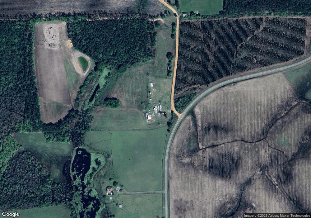
466 Wh Smith Rd Denton, GA 31532
Estimated Value: $326,000 - $450,120
3
Beds
3
Baths
2,278
Sq Ft
$170/Sq Ft
Est. Value
About This Home
This home is located at 466 Wh Smith Rd, Denton, GA 31532 and is currently estimated at $388,060, approximately $170 per square foot. 466 Wh Smith Rd is a home located in Jeff Davis County with nearby schools including Jeff Davis Primary School, Jeff Davis Elementary School, and Jeff Davis Middle School.
Ownership History
Date
Name
Owned For
Owner Type
Purchase Details
Closed on
Sep 15, 2022
Sold by
Wooten Tabatha
Bought by
Wooten Donald Vann
Current Estimated Value
Purchase Details
Closed on
Jun 1, 1999
Bought by
Wooten Vann and Wooten Tabatha K
Purchase Details
Closed on
Oct 8, 1998
Bought by
Kight Dara Lynn
Purchase Details
Closed on
Aug 27, 1996
Bought by
Kight Thomas Charles
Purchase Details
Closed on
Oct 10, 1994
Bought by
Kight Ray Fisher
Purchase Details
Closed on
Jan 1, 1984
Bought by
Kight Ray Fisher
Create a Home Valuation Report for This Property
The Home Valuation Report is an in-depth analysis detailing your home's value as well as a comparison with similar homes in the area
Home Values in the Area
Average Home Value in this Area
Purchase History
| Date | Buyer | Sale Price | Title Company |
|---|---|---|---|
| Wooten Donald Vann | -- | -- | |
| Wooten Vann | $215,000 | -- | |
| Kight Dara Lynn | $50,000 | -- | |
| Kight Thomas Charles | -- | -- | |
| Kight Ray Fisher | -- | -- | |
| Kight Ray Fisher | $17,400 | -- |
Source: Public Records
Tax History Compared to Growth
Tax History
| Year | Tax Paid | Tax Assessment Tax Assessment Total Assessment is a certain percentage of the fair market value that is determined by local assessors to be the total taxable value of land and additions on the property. | Land | Improvement |
|---|---|---|---|---|
| 2024 | $2,504 | $132,120 | $57,280 | $74,840 |
| 2023 | $1,802 | $86,359 | $33,904 | $52,455 |
| 2022 | $1,794 | $86,359 | $33,904 | $52,455 |
| 2021 | $1,786 | $86,359 | $33,904 | $52,455 |
| 2020 | $1,734 | $86,359 | $33,904 | $52,455 |
| 2019 | $1,726 | $86,359 | $33,904 | $52,455 |
| 2018 | $1,719 | $86,359 | $33,904 | $52,455 |
| 2017 | $1,784 | $85,524 | $33,904 | $51,620 |
Source: Public Records
Map
Nearby Homes
- 279 W H Smith Rd
- LOTS 5 & 6 N A
- 0 No Assigned Address Unit 10505338
- 699 Twin Lakes Dr
- 00 Lots 5 & 6
- 347 Georgia 107
- LT 16 Loop Rd
- Lot 16 Loop Rd Unit Other
- 00 N A Unit N/A
- 00 N A
- 5495 Cross Rd
- 8837 & 8979 George Deen Rd
- 714 Fitzgerald Hwy
- 1020 Alabama St N
- 504 Miller Ave
- 407 Broxton West Green Hwy
- 402 N West Ave
- 4653 Douglas Braxton Hwy
- 0 Rhonda Coleman Rd
- 3 Robert Rickerson Rd
- 173 Luther Kight Rd
- 46 Robert Rickerson Rd
- 97 Luther Kight Rd
- 221 Luther Kight Rd
- 314 Wh Smith Rd
- 36 Luther Kight Rd
- 36 Luther Kight Rd
- 400 Mount Pleasant Church Rd
- 39 Robert Rickerson Rd
- 5 Luther Kight Rd
- 340 Jack Wooten Rd
- 279 Wh Smith Rd
- 279 Wh Smith Rd
- 640 Wh Smith Rd
- 626 Wh Smith Rd
- 644 Wh Smith Rd
- 508 Mount Pleasant Church Rd
