4660 Azle Hwy Weatherford, TX 76085
Estimated Value: $526,000 - $573,866
4
Beds
3
Baths
2,212
Sq Ft
$253/Sq Ft
Est. Value
About This Home
This home is located at 4660 Azle Hwy, Weatherford, TX 76085 and is currently estimated at $558,717, approximately $252 per square foot. 4660 Azle Hwy is a home located in Parker County with nearby schools including Martin Elementary School, Tison Middle School, and Weatherford High School.
Ownership History
Date
Name
Owned For
Owner Type
Purchase Details
Closed on
Jul 2, 2018
Sold by
Smith Jessica and Smith Isaac
Bought by
Brown Christian Thomas and Brown Meagan Rose
Current Estimated Value
Home Financials for this Owner
Home Financials are based on the most recent Mortgage that was taken out on this home.
Original Mortgage
$321,070
Outstanding Balance
$278,870
Interest Rate
4.6%
Mortgage Type
New Conventional
Estimated Equity
$279,847
Purchase Details
Closed on
Mar 9, 2015
Sold by
Hinesly Dylan G and Hinesly Loretta
Bought by
Smith Isaac and Smith Jessica
Home Financials for this Owner
Home Financials are based on the most recent Mortgage that was taken out on this home.
Original Mortgage
$238,107
Interest Rate
4.4%
Mortgage Type
FHA
Purchase Details
Closed on
Mar 15, 2011
Sold by
Jenkins Jimmy Joe
Bought by
Smith Isaac and Smith Jessica
Purchase Details
Closed on
Nov 16, 1995
Bought by
Smith Isaac and Smith Jessica
Create a Home Valuation Report for This Property
The Home Valuation Report is an in-depth analysis detailing your home's value as well as a comparison with similar homes in the area
Home Values in the Area
Average Home Value in this Area
Purchase History
| Date | Buyer | Sale Price | Title Company |
|---|---|---|---|
| Brown Christian Thomas | -- | Capital Title | |
| Smith Isaac | -- | None Available | |
| Smith Isaac | -- | -- | |
| Smith Isaac | -- | -- |
Source: Public Records
Mortgage History
| Date | Status | Borrower | Loan Amount |
|---|---|---|---|
| Open | Brown Christian Thomas | $321,070 | |
| Previous Owner | Smith Isaac | $238,107 |
Source: Public Records
Tax History Compared to Growth
Tax History
| Year | Tax Paid | Tax Assessment Tax Assessment Total Assessment is a certain percentage of the fair market value that is determined by local assessors to be the total taxable value of land and additions on the property. | Land | Improvement |
|---|---|---|---|---|
| 2025 | $5,853 | $465,148 | -- | -- |
| 2024 | $5,853 | $422,862 | -- | -- |
| 2023 | $5,853 | $384,420 | $0 | $0 |
| 2022 | $6,507 | $349,480 | $83,460 | $266,020 |
| 2021 | $6,815 | $349,480 | $83,460 | $266,020 |
| 2020 | $6,225 | $306,910 | $68,070 | $238,840 |
| 2019 | $6,641 | $306,910 | $68,070 | $238,840 |
| 2018 | $4,569 | $217,990 | $14,320 | $203,670 |
| 2017 | $4,238 | $217,990 | $14,320 | $203,670 |
| 2016 | $3,449 | $155,400 | $14,320 | $141,080 |
| 2015 | $3,034 | $155,400 | $14,320 | $141,080 |
| 2014 | $3,022 | $159,600 | $14,320 | $145,280 |
Source: Public Records
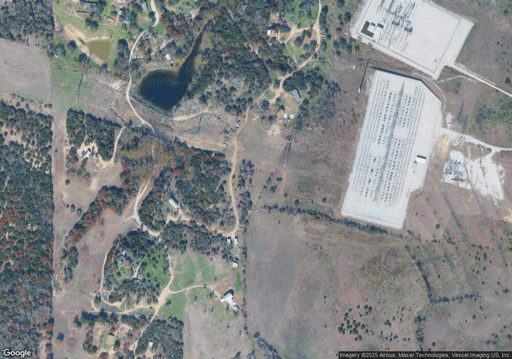
Map
Nearby Homes
- 4674 Azle Hwy
- 2431 E Lake Dr
- 2425 E Lake Dr
- 2421 E Lake Dr
- 1001 Emery Ct
- 1016 Emery Ct
- Chapman Plan at Parker Ridge
- Tucker Plan at Parker Ridge
- 1154 W Lake Dr
- 1128 W Lake Dr
- 1733 E Lake Dr
- 914 W Lake Dr
- 100 Coronado Trail
- Lot 1M Crest
- 808 W Lake Dr
- TBD Lot 7 N Lake Dr
- 405 Red Roan Ridge
- 200 Sorrel Ln
- 1231 E Lake Dr
- 4500 White Settlement Rd