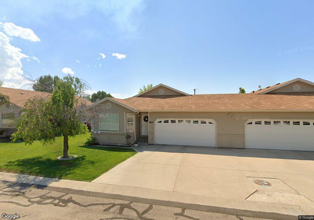
4661 Ramsgate Dr Pocatello, ID 83202
Estimated Value: $285,000 - $306,809
2
Beds
2
Baths
1,205
Sq Ft
$246/Sq Ft
Est. Value
About This Home
This home is located at 4661 Ramsgate Dr, Pocatello, ID 83202 and is currently estimated at $295,905, approximately $245 per square foot. 4661 Ramsgate Dr is a home located in Bannock County with nearby schools including Syringa Elementary School, Kinport Academy, and Highland High School.
Ownership History
Date
Name
Owned For
Owner Type
Purchase Details
Closed on
Oct 24, 2019
Sold by
Johansen Patricia D
Bought by
Anderson Shawna A
Current Estimated Value
Home Financials for this Owner
Home Financials are based on the most recent Mortgage that was taken out on this home.
Original Mortgage
$131,500
Outstanding Balance
$58,166
Interest Rate
3.5%
Mortgage Type
New Conventional
Estimated Equity
$237,739
Purchase Details
Closed on
May 25, 2007
Sold by
Austin Kathleen L
Bought by
Reno Bertha
Home Financials for this Owner
Home Financials are based on the most recent Mortgage that was taken out on this home.
Original Mortgage
$81,950
Interest Rate
6.12%
Mortgage Type
New Conventional
Create a Home Valuation Report for This Property
The Home Valuation Report is an in-depth analysis detailing your home's value as well as a comparison with similar homes in the area
Home Values in the Area
Average Home Value in this Area
Purchase History
| Date | Buyer | Sale Price | Title Company |
|---|---|---|---|
| Anderson Shawna A | -- | Alliance Ttl Pocatello Offic | |
| Reno Bertha | -- | -- |
Source: Public Records
Mortgage History
| Date | Status | Borrower | Loan Amount |
|---|---|---|---|
| Open | Anderson Shawna A | $131,500 | |
| Previous Owner | Reno Bertha | $81,950 |
Source: Public Records
Tax History
| Year | Tax Paid | Tax Assessment Tax Assessment Total Assessment is a certain percentage of the fair market value that is determined by local assessors to be the total taxable value of land and additions on the property. | Land | Improvement |
|---|---|---|---|---|
| 2025 | $1,364 | $254,188 | $69,000 | $185,188 |
| 2024 | $1,320 | $229,382 | $69,000 | $160,382 |
| 2023 | $1,297 | $225,450 | $60,000 | $165,450 |
| 2022 | $1,297 | $156,710 | $26,000 | $130,710 |
| 2021 | $1,345 | $156,710 | $26,000 | $130,710 |
| 2020 | $1,256 | $160,652 | $24,300 | $136,352 |
| 2019 | $1,335 | $169,478 | $24,300 | $145,178 |
| 2018 | $1,077 | $125,540 | $18,000 | $107,540 |
| 2017 | $1,146 | $125,540 | $18,000 | $107,540 |
| 2016 | $1,297 | $119,190 | $18,000 | $101,190 |
| 2015 | $1,321 | $0 | $0 | $0 |
| 2012 | -- | $119,190 | $18,000 | $101,190 |
Source: Public Records
Map
Nearby Homes
- 723 Raindrop Dr
- 4658 Chateau St
- 702 Bedford Dr
- 4714 Declaration Dr
- 4599 Pocahontas Dr
- 4911 Elizabeth Ave
- 4732 Revere Rd
- 530d Pheasant Ridge Dr
- 4946 Mary Ln
- 583 Raven Way Unit D
- 573 Raven Way
- 573 Raven Way Unit B
- TBD(11) Hiline Rd
- 448 Raven Way
- 448 Raven Way Unit D
- 26 Eagle Dr
- 461 Raven Way
- 1158 Dolostone Dr
- Lot 24 Blk 3 Dolostone Dr
- Lot 12 Blk 2 Dolostone Dr
- 4665 Ramsgate Dr
- 4655 Ramsgate Dr
- 4671 Ramsgate Dr
- 4651 Ramsgate Dr
- 4666 Annies Way
- 4660 Ramsgate Dr
- 4662 Annies Way
- 4675 Ramsgate Dr
- 4656 Annies Way
- 4664 Ramsgate Dr
- 4654 Ramsgate Dr
- 4672 Annies Way
- 4650 Ramsgate Dr
- 4670 Ramsgate Dr
- 4674 Annies Way
- 4652 Annies Way
- 764 Moran Dr
- 4676 Annies Way
- 4674 Ramsgate Dr
- 776 Moran Dr
Your Personal Tour Guide
Ask me questions while you tour the home.