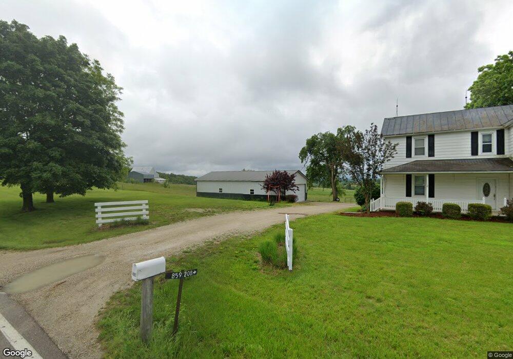
4662 Highway 185 New Haven, MO 63068
Estimated Value: $376,495 - $671,000
--
Bed
--
Bath
2,526
Sq Ft
$212/Sq Ft
Est. Value
About This Home
This home is located at 4662 Highway 185, New Haven, MO 63068 and is currently estimated at $534,374, approximately $211 per square foot. 4662 Highway 185 is a home located in Franklin County with nearby schools including Washington High School.
Ownership History
Date
Name
Owned For
Owner Type
Purchase Details
Closed on
Dec 15, 2010
Sold by
Powell John Jay and John & Carol Powell Revocable
Bought by
Carey Michael Anthony and Carey Mary Ann
Current Estimated Value
Home Financials for this Owner
Home Financials are based on the most recent Mortgage that was taken out on this home.
Original Mortgage
$215,000
Outstanding Balance
$75,786
Interest Rate
4.41%
Mortgage Type
Purchase Money Mortgage
Estimated Equity
$458,588
Create a Home Valuation Report for This Property
The Home Valuation Report is an in-depth analysis detailing your home's value as well as a comparison with similar homes in the area
Home Values in the Area
Average Home Value in this Area
Purchase History
| Date | Buyer | Sale Price | Title Company |
|---|---|---|---|
| Carey Michael Anthony | -- | None Available |
Source: Public Records
Mortgage History
| Date | Status | Borrower | Loan Amount |
|---|---|---|---|
| Open | Carey Michael Anthony | $215,000 |
Source: Public Records
Tax History Compared to Growth
Tax History
| Year | Tax Paid | Tax Assessment Tax Assessment Total Assessment is a certain percentage of the fair market value that is determined by local assessors to be the total taxable value of land and additions on the property. | Land | Improvement |
|---|---|---|---|---|
| 2024 | $2,250 | $36,105 | $0 | $0 |
| 2023 | $2,250 | $36,105 | $0 | $0 |
| 2022 | $1,970 | $34,316 | $0 | $0 |
| 2021 | $1,963 | $34,316 | $0 | $0 |
| 2020 | $1,857 | $31,249 | $0 | $0 |
| 2019 | $1,854 | $31,249 | $0 | $0 |
| 2018 | $1,693 | $28,302 | $0 | $0 |
| 2017 | $1,692 | $28,302 | $0 | $0 |
| 2016 | $1,524 | $26,012 | $0 | $0 |
| 2015 | $1,529 | $26,012 | $0 | $0 |
| 2014 | $1,358 | $23,109 | $0 | $0 |
Source: Public Records
Map
Nearby Homes
- 136 Samson Ln
- 0 Walnut Woods Rd
- 850 Aj Farm Ln
- 0 Highway 185
- 3937 Lakeshore Dr
- 526 Saint Joseph Dr
- 5140 Saint Anns Rd
- Hwy Aj
- 000 Highway Aj
- 3932 Boeuf Lutheran Rd
- 6389 Highway Aj
- 130 Alferman Lake Rd
- 5088 Highway Kk
- 130 Rolling Hills Dr
- 1891 4 Mile Rd
- 3739 Kopp Ln
- 219 Fawn Dr
- 7040 Highway Yy
- 421 Park Ln
- 0 Marlie Rd Unit MIS25036024
- 4642 Highway 185
- 4683 Highway 185
- 4675 Highway 185
- 4639 Highway 185
- 4632 Highway 185
- 4713 Highway 185
- 4612 Highway 185
- 304 Rolling Hills
- 308 Rolling Hills
- 4606 Highway 185
- 238 Coyote Creek Rd
- 4721 Highway 185
- 1964 Lyon Rd
- 4741 Highway 185
- 1962 Lyon Rd
- 1950 Lyon Rd
- 1967 Lyon Rd
- 4562 Highway 185
- 134 Coyote Creek Rd
- 4790 Highway 185