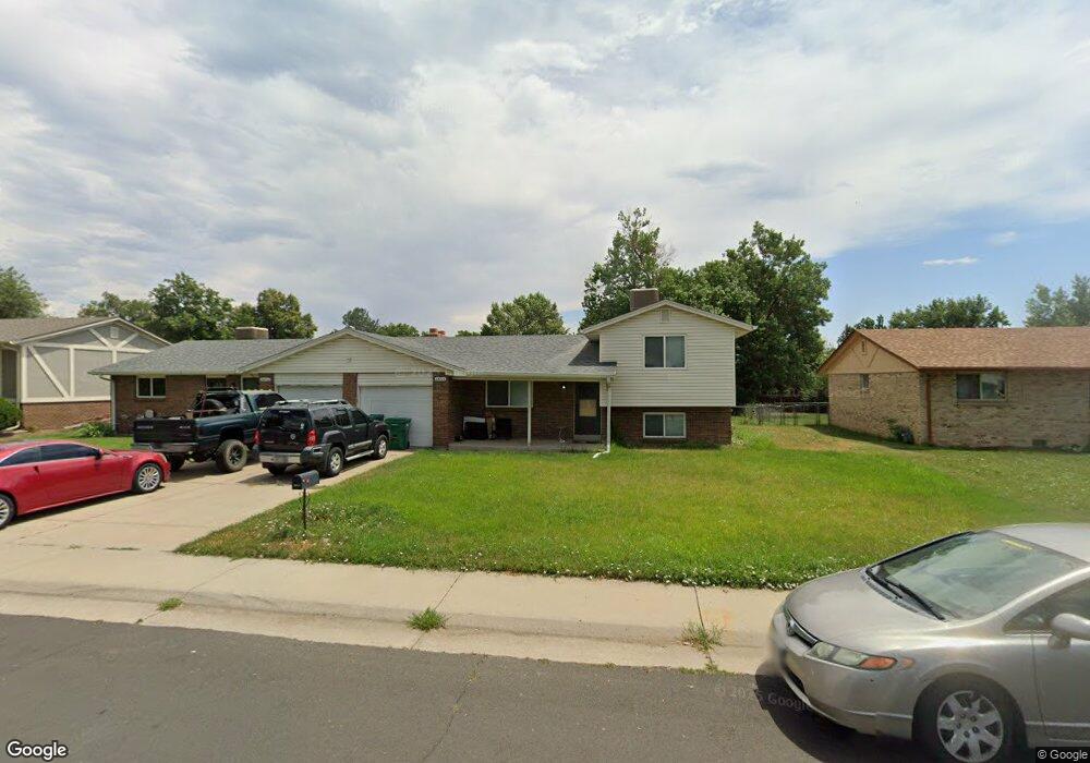
4664 Routt St Wheat Ridge, CO 80033
Fruitdale NeighborhoodEstimated Value: $552,515 - $722,000
5
Beds
3
Baths
1,909
Sq Ft
$337/Sq Ft
Est. Value
About This Home
This home is located at 4664 Routt St, Wheat Ridge, CO 80033 and is currently estimated at $643,129, approximately $336 per square foot. 4664 Routt St is a home with nearby schools including Kullerstrand Elementary School, Prospect Valley Elementary School, and Everitt Middle School.
Ownership History
Date
Name
Owned For
Owner Type
Purchase Details
Closed on
Sep 18, 2019
Sold by
Kopiloff Glasson Ludmila and Kopiloff Family Trust
Bought by
Kopiloff Glasson Ludmila
Current Estimated Value
Purchase Details
Closed on
Dec 27, 2018
Sold by
Kopiloff Fmtr
Bought by
Kopiloff Glasson Ludmila
Purchase Details
Closed on
Dec 13, 2012
Sold by
Kopiloff Peter and Kopiloff Valentina
Bought by
The Kopiloff Family Trust
Purchase Details
Closed on
Jan 3, 1996
Sold by
Peek Philip A and Peek Barbara J
Bought by
Kopiloff Peter and Kopiloff Valentina
Create a Home Valuation Report for This Property
The Home Valuation Report is an in-depth analysis detailing your home's value as well as a comparison with similar homes in the area
Home Values in the Area
Average Home Value in this Area
Purchase History
| Date | Buyer | Sale Price | Title Company |
|---|---|---|---|
| Kopiloff Glasson Ludmila | -- | None Available | |
| Kopiloff Glasson Ludmila | -- | None Available | |
| The Kopiloff Family Trust | -- | None Available | |
| Kopiloff Peter | $144,900 | North American Title |
Source: Public Records
Tax History Compared to Growth
Tax History
| Year | Tax Paid | Tax Assessment Tax Assessment Total Assessment is a certain percentage of the fair market value that is determined by local assessors to be the total taxable value of land and additions on the property. | Land | Improvement |
|---|---|---|---|---|
| 2024 | $3,924 | $42,723 | $23,853 | $18,870 |
| 2023 | $3,924 | $42,723 | $23,853 | $18,870 |
| 2022 | $2,969 | $32,007 | $15,140 | $16,867 |
| 2021 | $3,082 | $33,655 | $15,920 | $17,735 |
| 2020 | $2,667 | $29,157 | $13,418 | $15,739 |
| 2019 | $2,630 | $29,157 | $13,418 | $15,739 |
| 2018 | $2,231 | $24,040 | $8,046 | $15,994 |
| 2017 | $2,034 | $24,040 | $8,046 | $15,994 |
| 2016 | $2,115 | $23,383 | $7,367 | $16,016 |
| 2015 | $2,140 | $23,383 | $7,367 | $16,016 |
| 2014 | $1,875 | $19,489 | $5,846 | $13,643 |
Source: Public Records
Map
Nearby Homes
- 4605 Quail St
- 4615 Quail St
- 11772 W 45th Place
- 11737 W 45th Place
- 4340 Pierson St
- 10640 W 46th Ave
- 10630 W 46th Ave
- Plan 133 at Haskins Station
- Plan 132 at Haskins Station
- Plan 123 at Haskins Station
- Plan 122 at Haskins Station
- Haskins Station Plan at Haskins Station
- 5175 Simms Place
- 5154 Taft Ct
- 5182 Rob Way
- 5240 Routt Ct Unit B
- 5327 Quail St
- 12320 W 51st Ave
- 3935 Pierson St
- 10251 W 44th Ave Unit 8-206