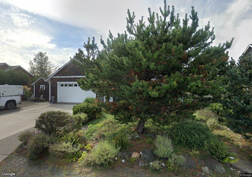
4664 Sheridan Dr Seaside, OR 97138
Estimated Value: $919,420 - $1,157,000
4
Beds
3
Baths
1,588
Sq Ft
$641/Sq Ft
Est. Value
About This Home
This home is located at 4664 Sheridan Dr, Seaside, OR 97138 and is currently estimated at $1,017,355, approximately $640 per square foot. 4664 Sheridan Dr is a home located in Clatsop County with nearby schools including Seaside High School.
Ownership History
Date
Name
Owned For
Owner Type
Purchase Details
Closed on
Oct 27, 2009
Sold by
Reserve At Gearhart Llc
Bought by
Wilson David G and Wilson Tonya D
Current Estimated Value
Home Financials for this Owner
Home Financials are based on the most recent Mortgage that was taken out on this home.
Original Mortgage
$323,100
Interest Rate
5%
Mortgage Type
Credit Line Revolving
Create a Home Valuation Report for This Property
The Home Valuation Report is an in-depth analysis detailing your home's value as well as a comparison with similar homes in the area
Home Values in the Area
Average Home Value in this Area
Purchase History
| Date | Buyer | Sale Price | Title Company |
|---|---|---|---|
| Wilson David G | $102,500 | Ticor Title Ins Co |
Source: Public Records
Mortgage History
| Date | Status | Borrower | Loan Amount |
|---|---|---|---|
| Closed | Wilson David G | $323,100 |
Source: Public Records
Tax History Compared to Growth
Tax History
| Year | Tax Paid | Tax Assessment Tax Assessment Total Assessment is a certain percentage of the fair market value that is determined by local assessors to be the total taxable value of land and additions on the property. | Land | Improvement |
|---|---|---|---|---|
| 2024 | $5,006 | $437,687 | -- | -- |
| 2023 | $4,866 | $424,940 | $0 | $0 |
| 2022 | $4,720 | $412,564 | $0 | $0 |
| 2021 | $4,818 | $400,548 | $0 | $0 |
| 2020 | $4,647 | $388,883 | $0 | $0 |
| 2019 | $4,528 | $377,558 | $0 | $0 |
| 2018 | $4,364 | $366,562 | $0 | $0 |
| 2017 | $4,248 | $355,886 | $0 | $0 |
| 2016 | $3,670 | $345,522 | $142,057 | $203,465 |
| 2015 | $3,549 | $335,459 | $137,920 | $197,539 |
| 2014 | $3,374 | $325,689 | $0 | $0 |
| 2013 | -- | $316,203 | $0 | $0 |
Source: Public Records
Map
Nearby Homes
- 4830 Butterfly Ln
- 0 Vl High Ridge Rd Unit Lot 58
- 4586 Drummond Ct
- Lot 58 High Ridge Rd
- 0 High Ridge Rd Unit 278550860
- Lot 59 High Ridge Rd
- 4580 Fairway Ave
- 568 Browning Ln
- 5399 Drummond Dr
- 1729 Gearhart Green Condo Unit 510
- 5270 High Ridge Rd
- 2499 Pine Ridge Dr
- 2998 Pine Ct
- 645 Meadow Ln
- 1398 N Ocean Ave
- 1400 N Ocean Ave
- 1348 Dooley Ln
- 88708 Surfsands Rd
- 1309 Cottonwood Ln
- 4648 Sheridan Dr
- 4648 Sheridan (Lot 18) Dr
- 4702 Sheridan Dr
- 4705 Sheridan Dr
- 4600 Sheridan Dr
- 4754 Sheridan Dr
- 4615 Sheridan Dr
- 4755 Sheridan Dr
- 4655 High Ridge Rd
- 4685 High Ridge Rd
- 4715 High Ridge Rd
- 468 Lanthorn Ln
- 4777 Sheridan Dr
- 4777 Sheridan Dr
- 473 Haney Ct
- 4788 Sheridan Dr
- 4564 Sheridan Ct
- 0 4564 Sheridan
- 470 Haney Ct
- 4755 High Ridge Rd