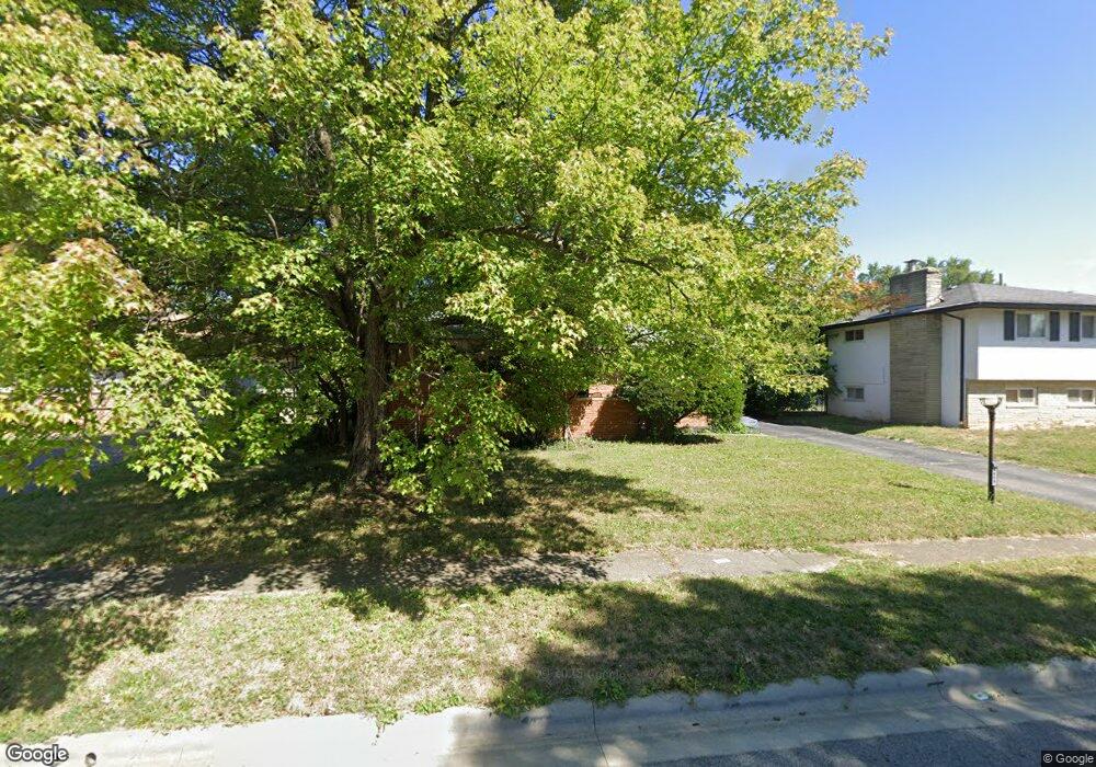
4668 Belfast Dr Columbus, OH 43227
Leawood NeighborhoodEstimated Value: $181,000 - $289,000
3
Beds
2
Baths
1,290
Sq Ft
$184/Sq Ft
Est. Value
About This Home
This home is located at 4668 Belfast Dr, Columbus, OH 43227 and is currently estimated at $236,737, approximately $183 per square foot. 4668 Belfast Dr is a home located in Franklin County with nearby schools including Leawood Elementary School, Sherwood Middle School, and Walnut Ridge High School.
Ownership History
Date
Name
Owned For
Owner Type
Purchase Details
Closed on
Feb 24, 2021
Sold by
Deister Andrew Z and Deister Courtney L
Bought by
Diester Holdings Llc
Current Estimated Value
Purchase Details
Closed on
Aug 9, 2010
Sold by
Us Bank National Association
Bought by
Deister Andrew Z and Deister Courtney L
Purchase Details
Closed on
May 6, 2010
Sold by
Suber Percy L and Suber Deborah A
Bought by
Us Bank National Association
Purchase Details
Closed on
Aug 29, 1986
Bought by
Suber Percy L and Suber Deborah A
Create a Home Valuation Report for This Property
The Home Valuation Report is an in-depth analysis detailing your home's value as well as a comparison with similar homes in the area
Home Values in the Area
Average Home Value in this Area
Purchase History
| Date | Buyer | Sale Price | Title Company |
|---|---|---|---|
| Diester Holdings Llc | -- | First American Title Ins Co | |
| Deister Andrew Z | $54,000 | None Available | |
| Us Bank National Association | $70,000 | Allodial | |
| Suber Percy L | $66,500 | -- |
Source: Public Records
Tax History Compared to Growth
Tax History
| Year | Tax Paid | Tax Assessment Tax Assessment Total Assessment is a certain percentage of the fair market value that is determined by local assessors to be the total taxable value of land and additions on the property. | Land | Improvement |
|---|---|---|---|---|
| 2024 | $3,048 | $65,280 | $14,040 | $51,240 |
| 2023 | $2,954 | $65,275 | $14,035 | $51,240 |
| 2022 | $1,968 | $37,040 | $6,550 | $30,490 |
| 2021 | $2,045 | $37,040 | $6,550 | $30,490 |
| 2020 | $2,064 | $37,040 | $6,550 | $30,490 |
| 2019 | $1,910 | $29,160 | $5,250 | $23,910 |
| 2018 | $1,761 | $29,160 | $5,250 | $23,910 |
| 2017 | $1,868 | $29,160 | $5,250 | $23,910 |
| 2016 | $1,881 | $27,690 | $5,850 | $21,840 |
| 2015 | $1,713 | $27,690 | $5,850 | $21,840 |
| 2014 | $1,717 | $27,690 | $5,850 | $21,840 |
| 2013 | $995 | $32,550 | $6,860 | $25,690 |
Source: Public Records
Map
Nearby Homes
- 4589 Belfast Dr
- 1787 Lattimer Dr
- 1691 Shady Lane Rd
- 1678 Huxley Dr
- 4701 Janis Dr
- 4475 Ellery Dr
- 1607 Shady Lane Rd
- 1607 Simpson Dr
- 4677 E Livingston Ave
- 4571 Aragon Ave
- 1563 Genoa Place
- 1571 Baxter Dr
- 1752 S Hamilton Rd
- 1618 S Hamilton Rd
- 5036 Brinwood Place
- 2173 Noe Bixby Rd
- 1543 S Hamilton Rd
- 4467 Grimsby Rd
- 4484 Grimsby Rd
- 1486 Efner Dr
- 4676 Belfast Dr
- 4660 Belfast Dr
- 4673 Healy Dr
- 4650 Belfast Dr
- 4683 Healy Dr
- 4685 Healy Dr
- 4687 Healy Dr
- 4667 Belfast Dr
- 4657 Healy Dr
- 4659 Belfast Dr
- 4675 Belfast Dr
- 4642 Belfast Dr
- 4651 Belfast Dr
- 4683 Belfast Dr
- 4649 Healy Dr
- 4643 Belfast Dr
- 4691 Belfast Dr
- 4634 Belfast Dr
- 4680 Healy Dr
- 4670 Healy Dr