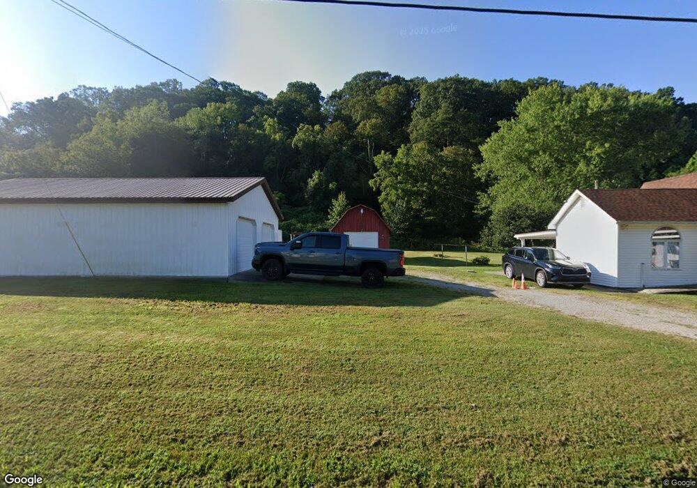
46683 State Route 248 Long Bottom, OH 45743
Estimated Value: $175,000 - $199,000
3
Beds
1
Bath
1,688
Sq Ft
$113/Sq Ft
Est. Value
About This Home
This home is located at 46683 State Route 248, Long Bottom, OH 45743 and is currently estimated at $190,227, approximately $112 per square foot. 46683 State Route 248 is a home located in Meigs County with nearby schools including Eastern Elementary School and Eastern High School.
Ownership History
Date
Name
Owned For
Owner Type
Purchase Details
Closed on
Dec 20, 2024
Sold by
Russ And Linda Well Family Trust and Well Linda L
Bought by
Williams Harry Don and Williams Christina Lynn
Current Estimated Value
Purchase Details
Closed on
Apr 22, 2021
Sold by
Well F Russell F and Well Linda L
Bought by
Well Francis Russell and Well Linda L
Purchase Details
Closed on
Sep 1, 1987
Bought by
Well Linda Well F Russell
Create a Home Valuation Report for This Property
The Home Valuation Report is an in-depth analysis detailing your home's value as well as a comparison with similar homes in the area
Purchase History
| Date | Buyer | Sale Price | Title Company |
|---|---|---|---|
| Williams Harry Don | $190,000 | Bestitle Agency | |
| Well Francis Russell | -- | None Available | |
| Well Linda Well F Russell | $18,500 | -- |
Source: Public Records
Tax History
| Year | Tax Paid | Tax Assessment Tax Assessment Total Assessment is a certain percentage of the fair market value that is determined by local assessors to be the total taxable value of land and additions on the property. | Land | Improvement |
|---|---|---|---|---|
| 2024 | $875 | $27,220 | $4,010 | $23,210 |
| 2023 | $875 | $27,220 | $4,010 | $23,210 |
| 2022 | $882 | $27,220 | $4,010 | $23,210 |
| 2021 | $898 | $26,660 | $4,020 | $22,640 |
| 2020 | $898 | $26,660 | $4,020 | $22,640 |
| 2019 | $905 | $26,660 | $4,020 | $22,640 |
| 2018 | $786 | $23,590 | $2,590 | $21,000 |
| 2017 | $786 | $23,590 | $2,590 | $21,000 |
| 2016 | $806 | $23,590 | $2,590 | $21,000 |
| 2014 | $844 | $25,460 | $2,520 | $22,940 |
| 2013 | $844 | $25,460 | $2,520 | $22,940 |
Source: Public Records
Map
Nearby Homes
- 45545 Sand Ridge Rd
- 48175 Scout Camp Rd
- 34230 Ingels Rd
- 0 Horse Cave Rd
- 34618 Bashan Rd
- 40601 E Shade Rd
- 0 Bigley Ridge Rd
- 46585 Morning Star Rd
- 47065 Morning Star Rd
- 0 Morning Star Rd
- 41982 Kingsbury Rd Unit CR
- 34260 Rd
- 32658 Rose Hill Rd
- 39522 Saint Clair Rd
- 34179 Laurel Woods Rd
- 42184 Tucker Rd
- 34673 Broderick Hollow Rd
- 0 Ohio 124
- 0 Unit 2432331
- 39454 Boston Hollow
- 46683 Ohio 248
- 46661 Ohio 248
- 46661 State Route 248
- 46670 State Route 248
- 46657 State Route 248
- 46707 State Route 248
- 46642 State Route 248
- 46690 State Route 248
- 46710 State Route 248
- 46739 State Route 248
- 46612 State Route 248
- 46608 State Route 248
- 46589 State Route 248
- 46599 Ohio 248
- 46599 State Route 248
- 46583 State Route 248
- 36380 New Hope Rd
- 36384 New Hope Rd
- 248 Sr
- 36454 New Hope Rd