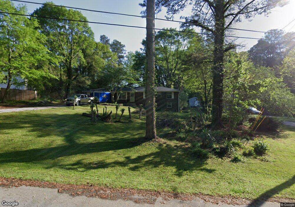
4669 Howard Dr Unit 2 Powder Springs, GA 30127
Estimated Value: $277,000 - $310,385
3
Beds
2
Baths
1,194
Sq Ft
$243/Sq Ft
Est. Value
About This Home
This home is located at 4669 Howard Dr Unit 2, Powder Springs, GA 30127 and is currently estimated at $289,596, approximately $242 per square foot. 4669 Howard Dr Unit 2 is a home located in Cobb County with nearby schools including Powder Springs Elementary School, Cooper Middle School, and McEachern High School.
Ownership History
Date
Name
Owned For
Owner Type
Purchase Details
Closed on
Dec 28, 2023
Sold by
Carrillo Phillip A Gonzales and Carrillo Sandra P
Bought by
Gonzales Carrillo Phillip A and Carrillo Sandra P
Current Estimated Value
Purchase Details
Closed on
Oct 16, 2019
Sold by
Helsel Rosa D
Bought by
Gonzales Phillip A and Carrillo Sandra Patricia
Home Financials for this Owner
Home Financials are based on the most recent Mortgage that was taken out on this home.
Original Mortgage
$85,000
Interest Rate
3.7%
Mortgage Type
New Conventional
Purchase Details
Closed on
Jul 12, 2000
Sold by
Talley Sara R
Bought by
Helsel Rosa D
Home Financials for this Owner
Home Financials are based on the most recent Mortgage that was taken out on this home.
Original Mortgage
$89,724
Interest Rate
8.12%
Mortgage Type
FHA
Create a Home Valuation Report for This Property
The Home Valuation Report is an in-depth analysis detailing your home's value as well as a comparison with similar homes in the area
Home Values in the Area
Average Home Value in this Area
Purchase History
| Date | Buyer | Sale Price | Title Company |
|---|---|---|---|
| Gonzales Carrillo Phillip A | -- | None Listed On Document | |
| Gonzales Phillip A | $85,000 | -- | |
| Helsel Rosa D | $97,500 | -- |
Source: Public Records
Mortgage History
| Date | Status | Borrower | Loan Amount |
|---|---|---|---|
| Previous Owner | Gonzales Phillip A | $85,000 | |
| Previous Owner | Helsel Rosa D | $89,724 |
Source: Public Records
Tax History Compared to Growth
Tax History
| Year | Tax Paid | Tax Assessment Tax Assessment Total Assessment is a certain percentage of the fair market value that is determined by local assessors to be the total taxable value of land and additions on the property. | Land | Improvement |
|---|---|---|---|---|
| 2024 | $1,194 | $111,628 | $18,000 | $93,628 |
| 2023 | $3,366 | $111,628 | $18,000 | $93,628 |
| 2022 | $1,961 | $64,624 | $12,000 | $52,624 |
| 2021 | $1,961 | $64,624 | $12,000 | $52,624 |
| 2020 | $1,032 | $34,000 | $8,360 | $25,640 |
| 2019 | $1,475 | $48,584 | $12,000 | $36,584 |
| 2018 | $1,265 | $41,688 | $9,600 | $32,088 |
| 2017 | $1,059 | $36,824 | $9,600 | $27,224 |
| 2016 | $911 | $31,704 | $7,200 | $24,504 |
| 2015 | $1,140 | $38,684 | $4,800 | $33,884 |
| 2014 | $487 | $16,384 | $0 | $0 |
Source: Public Records
Map
Nearby Homes
- 4726 Brownsville Rd
- 0 Cherry Ln Unit 10590910
- 0 Cherry Ln Unit 7617854
- 4801 Brownsville Rd
- 4570 Meadows Rd
- 5050 Brownwood Dr
- 4585 Muirwood Cir
- 4760 Oglesby Rd
- 4914 Howard Dr
- 4772 Lewis Rd
- 4872 Lewis Rd
- 4591 Meadows Rd
- 4555 Falls Ave
- 4758 Saddleridge Rd
- 4651 Larkfield Way
- 4825 Rollins Dr
- 4659 Larkfield Way
- 5076 Furlong Way
- 4667 Larkfield Way
- 4630 Meadows Rd SW
- 4669 Howard Dr Unit 1
- 4671 Howard Dr Unit 3
- 4671 Howard Dr
- 4559 Brownsville Rd
- 4621 Brownsville Rd Unit TR 1 2
- 4621 Brownsville Rd
- 4689 Howard Dr
- 4615 Brownsville Rd
- 4675 Brownsville Rd
- 4702 Brownsville Rd
- 4702 Howard Dr
- 4611 Brownsville Rd
- 5085 Blunschi Dr
- 4691 Brownsville Rd
- 4701 Howard Dr
- 5065 Blunschi Dr
- 5091 Blunschi Dr
- 0 Blunschi Dr Unit 7007489
- 0 Blunschi Dr Unit 3222261
- 0 Blunschi Dr Unit 3200493