Estimated Value: $782,000 - $1,760,000
3
Beds
3
Baths
3,404
Sq Ft
$415/Sq Ft
Est. Value
About This Home
This home is located at 46695 SE Marmot Rd, Sandy, OR 97055 and is currently estimated at $1,413,432, approximately $415 per square foot. 46695 SE Marmot Rd is a home located in Clackamas County with nearby schools including Sandy Grade School, Cedar Ridge Middle School, and Sandy High School.
Ownership History
Date
Name
Owned For
Owner Type
Purchase Details
Closed on
Jul 5, 2019
Sold by
Trost Norm and Trost Arty
Bought by
Trost Norm and Trost Arty
Current Estimated Value
Purchase Details
Closed on
May 20, 2004
Sold by
Trost Norm and Trost Arty
Bought by
Trost Norm and Trost Arty
Purchase Details
Closed on
Jun 6, 1997
Sold by
Mcmanus James W and Mcmanus Mary O
Bought by
Mcmanus James W and Mcmanus Mary O
Purchase Details
Closed on
Jun 15, 1995
Sold by
Wise William T
Bought by
Trost Norm and Trost Arty
Home Financials for this Owner
Home Financials are based on the most recent Mortgage that was taken out on this home.
Original Mortgage
$274,500
Interest Rate
8.37%
Mortgage Type
Seller Take Back
Create a Home Valuation Report for This Property
The Home Valuation Report is an in-depth analysis detailing your home's value as well as a comparison with similar homes in the area
Home Values in the Area
Average Home Value in this Area
Purchase History
| Date | Buyer | Sale Price | Title Company |
|---|---|---|---|
| Trost Norm | -- | None Available | |
| Trost Norm | -- | -- | |
| Mcmanus James W | -- | -- | |
| Trost Norm | $399,500 | Oregon Title Insurance Compa |
Source: Public Records
Mortgage History
| Date | Status | Borrower | Loan Amount |
|---|---|---|---|
| Closed | Trost Norm | $274,500 |
Source: Public Records
Tax History Compared to Growth
Tax History
| Year | Tax Paid | Tax Assessment Tax Assessment Total Assessment is a certain percentage of the fair market value that is determined by local assessors to be the total taxable value of land and additions on the property. | Land | Improvement |
|---|---|---|---|---|
| 2024 | $4,506 | $314,681 | -- | -- |
| 2023 | $4,506 | $305,718 | $0 | $0 |
| 2022 | $4,171 | $296,918 | $0 | $0 |
| 2021 | $4,043 | $288,351 | $0 | $0 |
| 2020 | $3,909 | $280,026 | $0 | $0 |
| 2019 | $3,924 | $272,036 | $0 | $0 |
| 2018 | $3,783 | $264,258 | $0 | $0 |
| 2017 | $3,712 | $256,703 | $0 | $0 |
| 2016 | $3,587 | $249,369 | $0 | $0 |
| 2015 | $3,492 | $242,228 | $0 | $0 |
| 2014 | $3,373 | $233,038 | $0 | $0 |
Source: Public Records
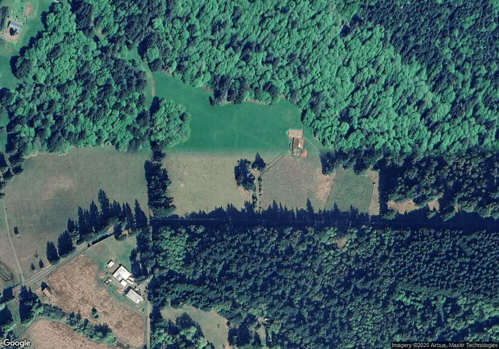
Map
Nearby Homes
- 44750 SE Phelps Rd
- 0 SE Herrick Rd Unit 104416805
- 45495 SE Coalman Rd
- 44434 SE Coalman Rd
- 19151 SE Veneer Ln
- 44871 SE Highway 26
- 41830 Deschutes Ave Unit 85A
- 41810 Deschutes Ave Unit 86B
- 41890 Deschutes Ave Unit 82A
- 42125 SE Luzon Ln
- 18865 Crooked River St Unit 42
- 18815 Crooked River St
- 50995 SE Baty Rd
- 18701 Wood River St
- 41900 Deschutes Ave Unit 81B
- 41865 Deschutes Ave Unit 61
- 41800 Deschutes Ave Unit 86A
- 19005 Ochoco Ct Unit 65
- 18905 Crooked River St Unit 46
- 19025 Ochoco Ct Unit 67
- 46218 SE Marmot Rd
- 45904 SE Marmot Rd
- 47080 SE Marmot Rd
- 46212 SE Marmot Rd
- 45925 SE Marmot Rd
- 45525 SE Marmot Rd
- 45425 SE Marmot Rd
- 47627 SE Marmot Rd
- 45710 SE Marmot Rd
- 45405 SE Marmot Rd
- 45305 SE Marmot Rd
- 47644 SE Marmot Rd
- 45205 SE Marmot Rd
- 45322 SE Marmot Rd
- 45051 SE Marmot Rd
- 45025 SE Marmot Rd
- 44714 SE Phelps Rd
- 48030 SE Marmot Rd
- 44756 SE Marmot Rd
- 44750 SE Marmot Rd