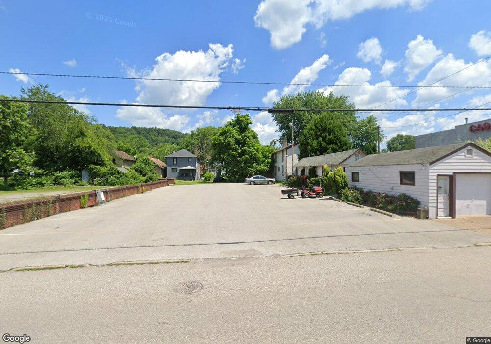
467 1st St East Liverpool, OH 43920
Estimated Value: $40,000 - $57,000
2
Beds
1
Bath
1,089
Sq Ft
$48/Sq Ft
Est. Value
About This Home
This home is located at 467 1st St, East Liverpool, OH 43920 and is currently estimated at $51,866, approximately $47 per square foot. 467 1st St is a home located in Columbiana County with nearby schools including Westgate Middle School, LaCroft Elementary School, and East Liverpool High School.
Ownership History
Date
Name
Owned For
Owner Type
Purchase Details
Closed on
Jan 14, 2020
Sold by
Stevens Aaton
Bought by
Mack Dorothy
Current Estimated Value
Purchase Details
Closed on
Oct 12, 2005
Sold by
Fannie Mae
Bought by
Ferguson Kenneth D
Purchase Details
Closed on
Mar 31, 2005
Sold by
Chisom Brian E and Chisom Paula
Bought by
Federal National Mortgage Association
Purchase Details
Closed on
Sep 17, 2001
Sold by
Parham Ann Marie
Bought by
Chisom Brian F and Chisom Paula
Create a Home Valuation Report for This Property
The Home Valuation Report is an in-depth analysis detailing your home's value as well as a comparison with similar homes in the area
Home Values in the Area
Average Home Value in this Area
Purchase History
| Date | Buyer | Sale Price | Title Company |
|---|---|---|---|
| Mack Dorothy | $20,000 | None Available | |
| Ferguson Kenneth D | $4,500 | Beacon Title Agency Inc | |
| Federal National Mortgage Association | $20,000 | None Available | |
| Chisom Brian F | -- | -- |
Source: Public Records
Tax History Compared to Growth
Tax History
| Year | Tax Paid | Tax Assessment Tax Assessment Total Assessment is a certain percentage of the fair market value that is determined by local assessors to be the total taxable value of land and additions on the property. | Land | Improvement |
|---|---|---|---|---|
| 2024 | $196 | $2,460 | $530 | $1,930 |
| 2023 | $196 | $2,460 | $530 | $1,930 |
| 2022 | $196 | $2,460 | $530 | $1,930 |
| 2021 | $198 | $2,320 | $460 | $1,860 |
| 2020 | $136 | $2,320 | $460 | $1,860 |
| 2019 | $107 | $2,320 | $460 | $1,860 |
| 2018 | $103 | $2,100 | $420 | $1,680 |
| 2017 | $109 | $2,100 | $420 | $1,680 |
| 2016 | $97 | $1,930 | $350 | $1,580 |
| 2015 | $97 | $1,930 | $350 | $1,580 |
| 2014 | $96 | $1,930 | $350 | $1,580 |
Source: Public Records
Map
Nearby Homes
- 534 1st St
- 1013 Saint George St
- 1045 Saint George St
- 1030 Saint George St
- 936 Saint George St
- 1147 Ohio Ave
- 1259 Erie St
- 636 River Rd
- 507 Wedgewood St
- 1615 Montrose St
- 1575 Globe St
- 915 Phoenix Ave
- 908 Phoenix Ave
- 921 Orchard Grove Ave
- 925 Montgomery St
- 920 Mckinnon Ave
- 215 Alpine Way
- 929 Bank St
- 20 Phaeton Ave
- 1001 Ambrose Ave