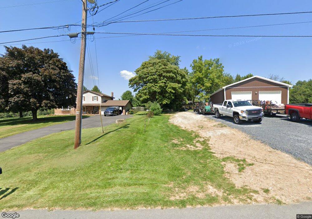
467 Albert Rd Wind Gap, PA 18091
Estimated Value: $314,000 - $407,503
About This Home
This home is located at 467 Albert Rd, Wind Gap, PA 18091 and is currently estimated at $366,501, approximately $264 per square foot. 467 Albert Rd is a home located in Northampton County with nearby schools including Plainfield Elementary School, Wind Gap Middle School, and Pen Argyl Area High School.
Ownership History
We collect this data history from publicly available records. To have your information removed, we recommend requesting removal directly through your county’s website.
Purchase Details
Home Financials for this Owner
Home Financials are based on the most recent Mortgage that was taken out on this home.Purchase Details
Home Values in the Area
Average Home Value in this Area
Purchase History
We collect this data history from publicly available records. To have your information removed, we recommend requesting removal directly through your county’s website.
| Date | Buyer | Sale Price | Title Company |
|---|---|---|---|
| -- | None Available | ||
| $12,500 | -- |
Mortgage History
We collect this data history from publicly available records. To have your information removed, we recommend requesting removal directly through your county’s website.
| Date | Status | Borrower | Loan Amount |
|---|---|---|---|
| Open | $175,000 |
Tax History
We collect this data history from publicly available records. To have your information removed, we recommend requesting removal directly through your county’s website.
| Year | Tax Paid | Tax Assessment Tax Assessment Total Assessment is a certain percentage of the fair market value that is determined by local assessors to be the total taxable value of land and additions on the property. | Land | Improvement |
|---|---|---|---|---|
| 2026 | $842 | $78,000 | $36,300 | $41,700 |
| 2025 | $842 | $78,000 | $36,300 | $41,700 |
| 2024 | $5,878 | $78,000 | $36,300 | $41,700 |
| 2023 | $5,878 | $78,000 | $36,300 | $41,700 |
| 2022 | $5,761 | $78,000 | $36,300 | $41,700 |
| 2021 | $5,839 | $78,000 | $36,300 | $41,700 |
| 2020 | $5,839 | $78,000 | $36,300 | $41,700 |
| 2019 | $5,717 | $78,000 | $36,300 | $41,700 |
| 2018 | $5,588 | $78,000 | $36,300 | $41,700 |
| 2017 | $5,475 | $78,000 | $36,300 | $41,700 |
| 2016 | -- | $78,000 | $36,300 | $41,700 |
| 2015 | -- | $78,000 | $36,300 | $41,700 |
| 2014 | -- | $78,000 | $36,300 | $41,700 |
Map
- 6366 Sullivan Trail
- 540 Briar Rd
- 204 Bushkill Ridge Rd
- 0 Pennsylvania 33
- 0 Abel Colony Rd Unit PANH2009720
- 1237 Keller Rd
- 0 Male Rd
- 432 Old Allentown Rd
- 210 Sonny Dr
- 0 E West St Unit PM-138679
- 154 Country Chase Dr
- 102 E Moorestown Rd
- 0 E Mountain Rd
- 0 W Center St
- 932 Bauman Rd
- 617 School Rd
- 67 Park Ave
- 488 Sportsman Club Rd
- 205 W Moorestown Rd
- 853 Lahr Rd
Ask me questions while you tour the home.