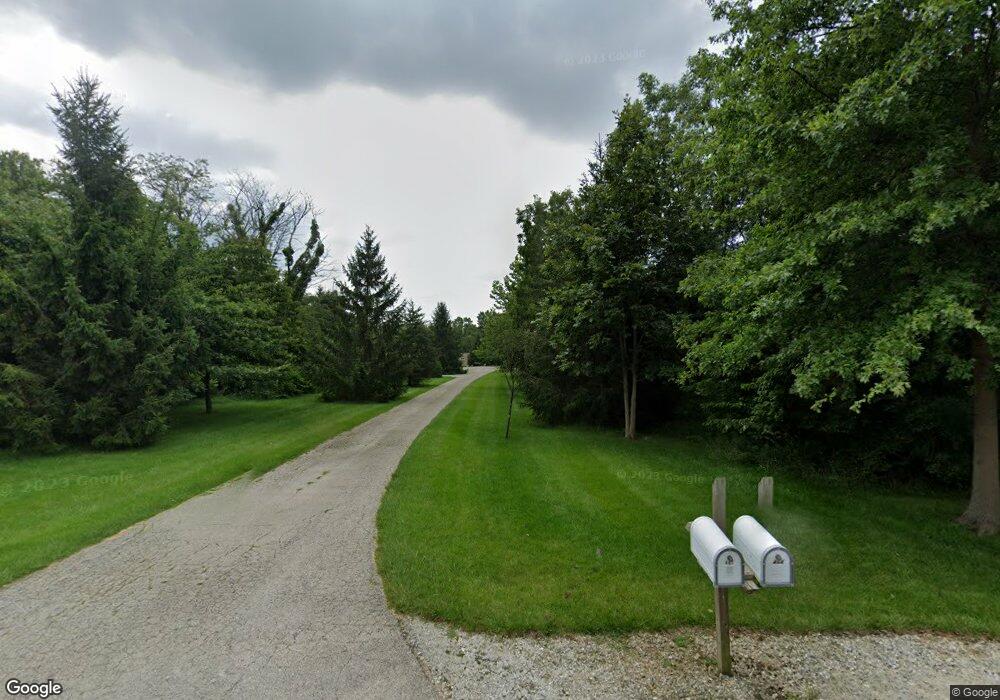
467 County Road 2500 N Mahomet, IL 61853
Estimated Value: $465,139 - $563,000
--
Bed
1
Bath
1,621
Sq Ft
$316/Sq Ft
Est. Value
About This Home
This home is located at 467 County Road 2500 N, Mahomet, IL 61853 and is currently estimated at $512,535, approximately $316 per square foot. 467 County Road 2500 N is a home with nearby schools including Middletown Prairie Elementary.
Ownership History
Date
Name
Owned For
Owner Type
Purchase Details
Closed on
May 2, 2004
Sold by
Terhune R Daniel and Terhune Sara K
Bought by
Parker Robert and Parker Kristina
Current Estimated Value
Home Financials for this Owner
Home Financials are based on the most recent Mortgage that was taken out on this home.
Original Mortgage
$220,000
Outstanding Balance
$103,149
Interest Rate
5.5%
Mortgage Type
Purchase Money Mortgage
Estimated Equity
$409,386
Create a Home Valuation Report for This Property
The Home Valuation Report is an in-depth analysis detailing your home's value as well as a comparison with similar homes in the area
Home Values in the Area
Average Home Value in this Area
Purchase History
| Date | Buyer | Sale Price | Title Company |
|---|---|---|---|
| Parker Robert | $275,000 | -- |
Source: Public Records
Mortgage History
| Date | Status | Borrower | Loan Amount |
|---|---|---|---|
| Open | Parker Robert | $220,000 |
Source: Public Records
Tax History Compared to Growth
Tax History
| Year | Tax Paid | Tax Assessment Tax Assessment Total Assessment is a certain percentage of the fair market value that is determined by local assessors to be the total taxable value of land and additions on the property. | Land | Improvement |
|---|---|---|---|---|
| 2024 | $9,333 | $151,680 | $23,200 | $128,480 |
| 2023 | $9,333 | $137,390 | $21,010 | $116,380 |
| 2022 | $8,666 | $127,100 | $19,440 | $107,660 |
| 2021 | $8,296 | $121,740 | $18,620 | $103,120 |
| 2020 | $7,978 | $117,170 | $17,920 | $99,250 |
| 2019 | $7,904 | $117,170 | $17,920 | $99,250 |
| 2018 | $7,609 | $113,430 | $17,350 | $96,080 |
| 2017 | $7,428 | $110,440 | $17,350 | $93,090 |
| 2016 | $6,825 | $101,510 | $15,950 | $85,560 |
| 2015 | $6,684 | $99,130 | $15,580 | $83,550 |
| 2014 | $6,490 | $96,990 | $15,240 | $81,750 |
| 2013 | $6,480 | $96,990 | $15,240 | $81,750 |
Source: Public Records
Map
Nearby Homes
- 2520 500 E
- 401A County Road 2500 N
- 2595 County Road 500 E
- 564C County Road 2400 N
- 575B County Road 2550 N
- 2112 E Slade Ln
- Greenbriar Plan at Ridge Creek
- Ridgecrest 1919 Plan at Ridge Creek
- Eldridge Plan at Ridge Creek
- Ridgeland Plan at Ridge Creek
- Douglas 1984 Plan at Ridge Creek
- Douglas 1804 Plan at Ridge Creek
- Wellington Plan at Ridge Creek
- Newbury Plan at Ridge Creek
- Ridgecrest 1865 Plan at Ridge Creek
- 2116 Robin Rd
- 1203 Marianne Ct
- 1501 Quarry Rd
- 1411 N Brookhaven Dr
- 2404 Fogel Rd
- 463 County Road 2500 N
- 477 County Road 2500 N
- 457 County Road 2500 N
- 464 County Road 2500 N
- 481 County Road 2500 N
- 458 County Road 2500 N
- 480 County Road 2500 N
- 485 County Road 2500 N
- 484 County Road 2500 N
- 445 County Road 2500 N
- 448 County Road 2500 N
- 2510 County Road 450 E
- 490 County Road 2500 N
- 491 Cr 2500 N
- 2516 County Road 450 E
- 493 County Road 2500 N
- 447 County Road 2500 N
- 2513 County Road 450 E
- 497 County Road 2500 N
- 501 County Road 2500 N
